
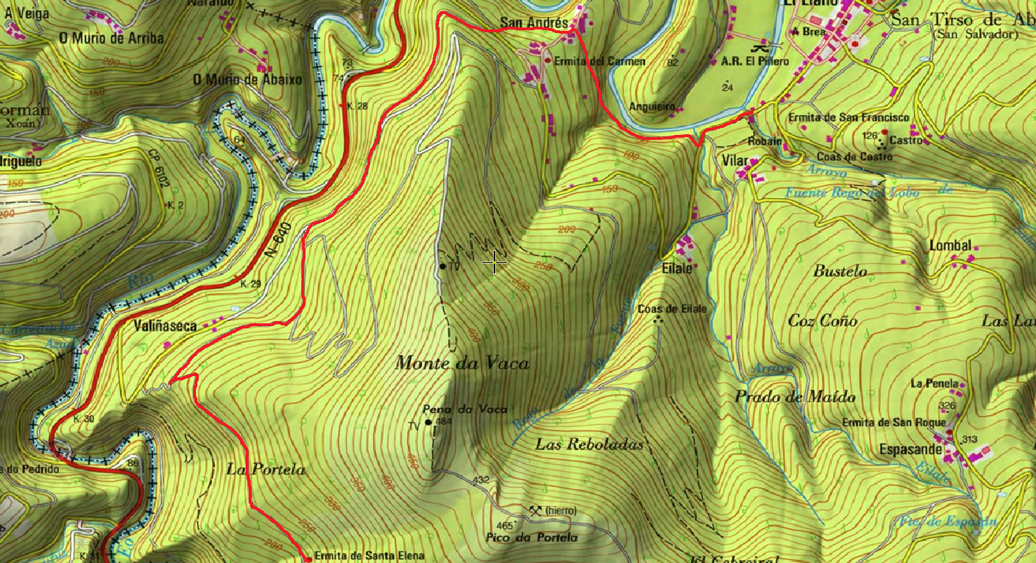
Ruta de los Pañeiros
- San Tirso de Abres
- Lineal
- 6 km (solo ida)
- 2 horas
- Baja
Antiguo Camino de Santiago que acogía a los romeros llegados por la Ría del Eo.
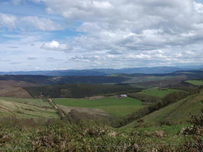
Desde El Llano nos dirigimos hacia San Andrés y a pocos metros nos encontramos con el “Peto de Ánimas” del Paxarelo donde se inicia esta senda a orillas del Rio Eo. Discurre por un sendero fluvial que permite divisar la flora de rivera (alisos, sauces, fresnos) o contemplar el salto de truchas o salmones.
La ruta asciende hasta San Andrés, localidad en la que existió una mina de hierro y que hoy posee explotaciones agricolas y ganaderas dada la fertilidad del Valle del Eo.
La pendiente va aumentando ligeramente en el tramo final del recorrido y entre pinares y robledales el caminante llega a la Ermita de Prado. Desde allí el Camino de Santiago se adentra en tierras gallegas.
Una vez llegado al final de la ruta hay dos opciones: Regresar por la misma senda o desde Prado bajar hacia el rio Eo y alli nos encontraremos con la Ruta del Ferrocarril por la que volveremos a San Tirso.
Hiking trails
-
Agüeira Green Path
- Villanueva de Oscos
 14 km
14 km 5 h
5 h Media
Media
The route is made up of two circular sections starting and ending in the center of Villanueva. The longer one, about 12 km, coincides in part with the forest route.
-
Vegadeo – Vegadeo Route
- Vegadeo
- 26,089 Km.
- Download
Download the route in PDF and KML and follow the route with your mountain bike or MTB. With different levels of difficulty, duration, slope and length. If you don’t have a bike you can rent one.
-
Taramundi – Vegadeo route through the Eiros Mountain Range
- Taramundi
Download the route in PDF and KML and follow the route with your mountain bike or MTB.
-
Ouroso Route
- Taramundi
- 7.8 km
- 3 hours
- Download
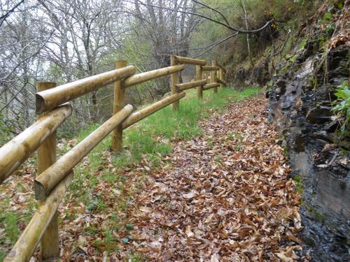
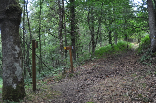
In the Teixo and just behind the hostel starts the forest track along which begins the walk to the Alto de Ouroso. The path is wide and passable by all-terrain vehicles, so there is hardly any possibility of getting lost. The route runs comfortably between wide pastures, heaths and pine forests of repopulation to reach a landing on which there is a small lagoon where at mid-morning many horses come to this point to water and refresh themselves in the shade of the pines. The animals graze in a semi-wild state and require little attention from their owners, which is why the number of horses has increased considerably in recent years.
-
As Zarras Route
- Villanueva de Oscos
- 3.5 km
- 1 hour and 50 minutes
- Download
The route begins in Santa Eufemia, shortly after passing the Ecomuseo del Pan in the direction of Pacios. We enter a small path through a native forest populated by oak, birch, holly and chestnut trees.
-
Mon Route
- San Martín de Oscos
- 12.6 km
- 4.5 hours
- Media
The itinerary begins in the village of A Revoqueira, three kilometers from San Martín.