


Teixo – Os Teixois Route
- Taramundi
- Circular route
- 10 km
- 3 hours and 45 minutes
- Media
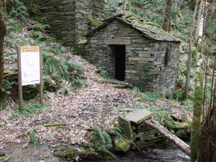
The itinerary begins in Teixo, where after leaving the vehicle and passing the last houses we start an easy walk along the road that connects this town with Santa Marina, leaving it to the right by a wide dirt track that leads us after a slight descent to the Arroyo das Mestas.
The route continues along a narrow path in the shade of a lush chestnut forest to reach the beautiful village of Santa Marina, which still retains the strong appearance of the villages of western Asturias, characterized by a solid and austere architecture of slate masonry buildings without plaster, few openings and covered with slate slabs. Once leaving the village, path and hiker climb together to the top of the hill towards the hamlet of Almallos, from where they descend along a path surrounded by chestnut trees until reaching the road from Taramundi to Veigas, then continuing along a steep path that descends to Teixois, a place that is one of the most interesting ethnographic sites in the Principality of Asturias. The hiker can visit here a series of hydraulic devices: mill, mallet, fulling mill, whetstone and a rudimentary power plant that powered the first light bulbs that came to Taramundi. Passing Teixois we ascend parallel to the stream of As Mestas, passing through the village of the same name, finding abundant riparian forest that will clear as we ascend and approach the starting point again.
Hiking trails
-
Balcones de Villanueva de Oscos Route
- Villanueva de Oscos
 25,272 Km
 5 hours
  Download
Download the route in PDF and KML and follow the route with your mountain bike or MTB. With different levels of difficulty, duration, slope and length. If you don’t have a bike you can rent one.
-
Ruta con Arte
- Santa Eulalia de Oscos
- 10,9 km
- 4 horas
- Baja
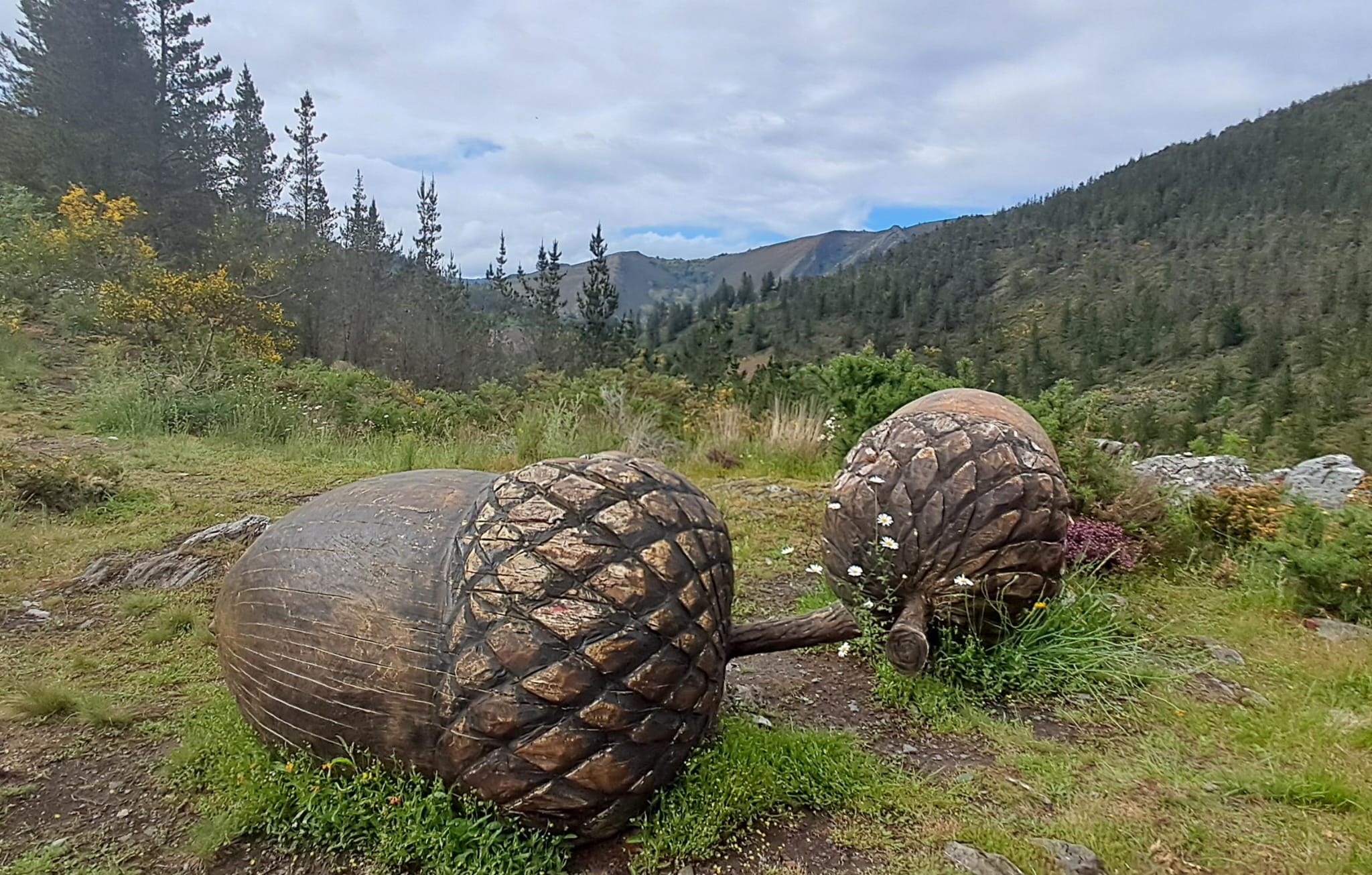
Este proyecto pionero e inédito, pretende impulsar y enriquecer Los Oscos a través de la vertebración artística, ofreciendo una conexión entre artistas, visitantes, naturaleza y tradición. Resaltando la belleza, cultura y tradición de los Oscos. Para ello se ha elegido una ruta circular de 10 Km. Dicha ruta comienza y termina en Santa Eulalia de Oscos.
-
A Mina de As Talladas Route
- Santa Eulalia de Oscos
- 12 km
- 3 hours and 45 minutes
- High average
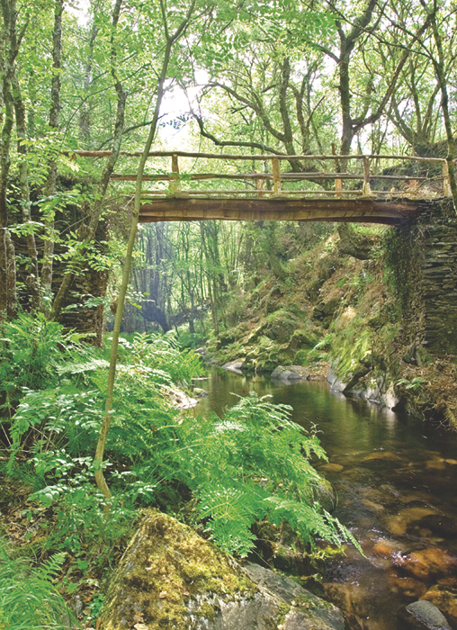
The route starts in the square of Sta. Eulalia de Oscos descending to the lower part of the village and continuing along a beautiful path surrounded by native forest that leads us to Ferreirela de Baxo, a place where it is worth stopping and visiting the Museo Casa Natal del Marqués de Sargadelos.
-
Route of the Mills
- Taramundi
- 10.7 km
- 4 hours
- Download
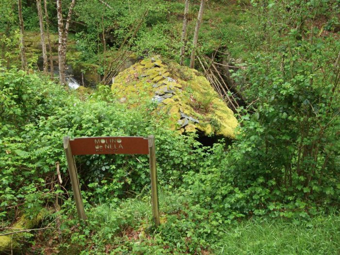
The route begins in the upper part of the village of Bres through a wide dirt road that leads to the Guxo mill, in excellent condition and also has in its vicinity a mini power plant.
-
San Martín de Oscos Mining Route
- San Martín de Oscos
- 30,618 Km
Download the route in PDF and KML and follow the route with your mountain bike or MTB. With different levels of difficulty, duration, slope and length. If you don’t have a bike you can rent one.
-
Forcón de los Ríos Route
- Santa Eulalia de Oscos
- 13.3 km
- 4 hours
- Media
Route of nature and ethnography that begins next to the house of culture in Santa Eulalia de Oscos.


