
Agüeira Green Path
- Villanueva de Oscos
- Circular
- 14 km
- 5 h
- Media
The route is made up of two circular sections starting and ending in the center of Villanueva. The longer one, about 12 km, coincides in part with the forest route.
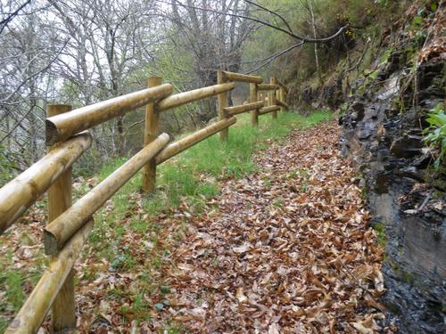
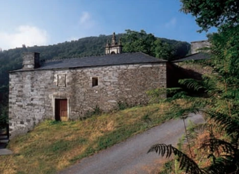
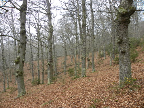
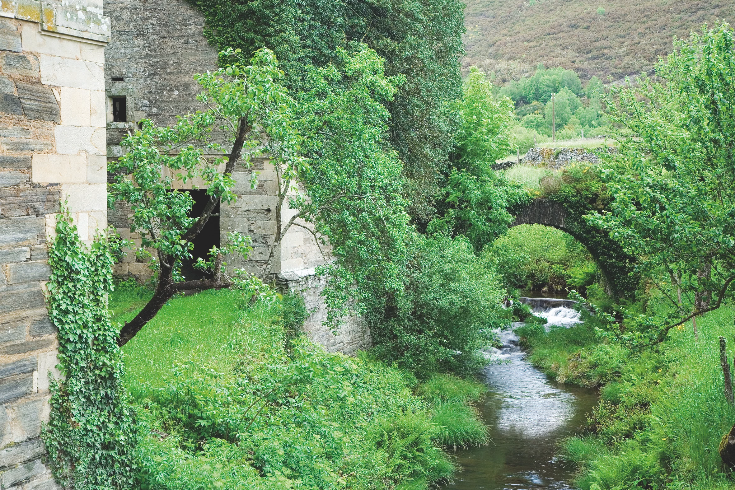
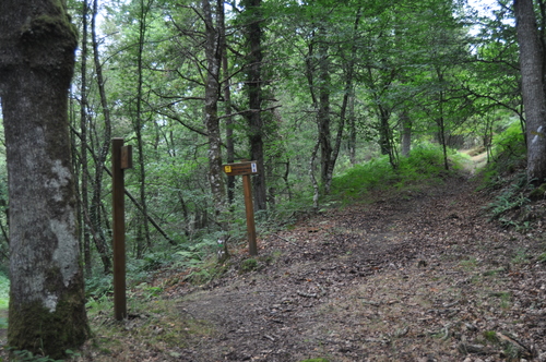
The itinerary begins near the Town Hall, along a path that leaves the village towards the cemetery of the town, we continue towards the houses of El Río and arrive at Santa Eufemia, where we can make a stop to visit the Ecomuseum of Bread or rest in the recreational area. At this point begins the ascent to El Vale and Pena Grande through a native forest where we will enjoy the shade of birch, oak and holly trees. We continue towards the brañas of Lama, Chao de Bureiros and A Folgueirúa enjoying the magnificent views from the top. We descend the mountainside crossing the streams Morán, Ceilán and Vilanova river. On the verge of reaching the latter we can not fail to delight us with the contemplation of a magnificent cortín that gives us an idea of the importance that since ancient times had in the area the production of honey and wax. In San Mamed we are greeted by a charming wash house that invites us to stop and enjoy the magnificent examples of stone architecture. We cross the road and continue along the mountainside until we reach the village of Pacios, whose splendid architecture also deserves our attention. We continue through the oak grove of Pacios until we reach the road again, we continue along the road to Santa Eufemia and from here along the cemetery road to Villanueva. The short section, about 2 km long, begins next to the monastery of Santa María, ascending to Ovellariza and descending through a native forest towards the Riodepil stream, which we cross over a wooden footbridge, continue towards the Guieiro neighborhood and descend again towards Villanueva.
Hiking trails
-
Mon Route
- San Martín de Oscos
 12.6 km
 4.5 hours
 Media
Media
The itinerary begins in the village of A Revoqueira, three kilometers from San Martín.
-
As Carballeiras Green Trail
- Santa Eulalia de Oscos
- 4.5 km
- 1 hour 20 minutes
- Download
This route starts at the Nature Interpretation Center, in the center of Santa Eulalia de Oscos.
-
Railroad Route
- San Tirso de Abres
- 15 km
- 5 hours
- Download
We start the walk in the old station of San Tirso de Abres, today restored for private housing, finding the first of the six tunnels just 300 m away, continuing next to the river Eo enjoying every moment of great panoramic views of the riverbed, of incalculable ecological and fish value, in which abound a large number of aquatic species, the most characteristic being trout, lamprey and salmon. Later the path crosses the N-640 road and leads us to an old power station built in 1932, located just before crossing another of the tunnels drilled in the rock, which leaves us close to the pedestrian walkway over the river Eo.
-
Balcones de Villanueva de Oscos Route
- Villanueva de Oscos
- 25,272 Km
- 5 hours
- Download
Download the route in PDF and KML and follow the route with your mountain bike or MTB. With different levels of difficulty, duration, slope and length. If you don’t have a bike you can rent one.
-
As Zarras Route
- Villanueva de Oscos
- 3.5 km
- 1 hour and 50 minutes
- Download
The route begins in Santa Eufemia, shortly after passing the Ecomuseo del Pan in the direction of Pacios. We enter a small path through a native forest populated by oak, birch, holly and chestnut trees.
-
Route of Silence
- Villanueva de Oscos
- 12 km
- 5 hours
- High
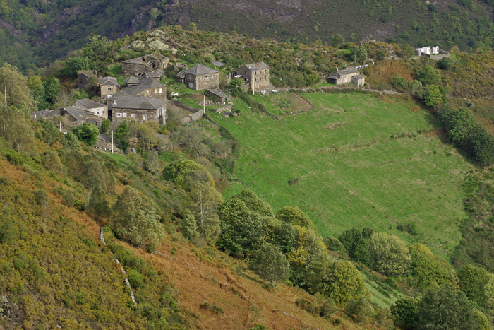
The route starts in San Cristobal, a place where we find numerous samples of popular architecture in its purest state, giving us the sensation of having gone back several centuries in time. From its chapel we see the valley of Rio Ahio covered with a beautiful blanket of native forest that dazzles us with its typical colors.