


Mount Marón and Ascuita route
- San Martín de Oscos
- Circular route
- 9 km
- 2 hours
- Download
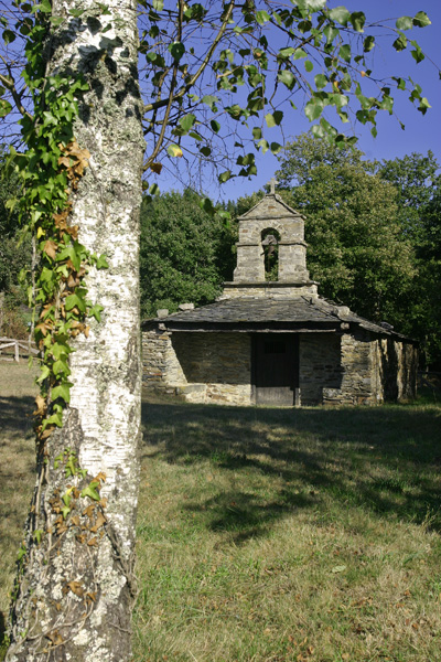
We begin the route in San Martín de Oscos where we can see the parish church, with a Latin cross plan, large porticoed space and inscription of 1828. To the right of the facade we observe one of the most characteristic hórreos of the Oscos with a mixed roof (slate and straw), which corresponds to the primitive models. In front of the church we have the mansion of the Guzmanes, an old manor house of the XVIII century, which preserves in the portico of its main entrance a coat of arms carved in stone. We cross the bridge that crosses the San Martín river to begin the ascent to Mount Marón, entering a small forest of birch and oak trees, which make our walk even more pleasant.
Already at the top of the summit (897 m) we can see most of the council of San Martin, as well as other neighboring: Santa Eulalia, Illano, Grandas de Salime, Pesoz and A Fonsagrada. After delighting ourselves with this view of distant horizons we descend through a pine forest, meeting the access road to Ascuita. After 1.25 km we reach this small village, once very busy because it was on the road between San Martín and Santa Eulalia. We return to the main road and head towards Vilarín de Trasmonte, passing by the hermitage of Santa Engracia. Currently this route is connected with a section of the Las Minas route, exactly with the one that leads to the Carmina Mine. At a given moment, the signage will warn the hiker of this circumstance. The return to San Martín will be by road.
Hiking trails
-
As Zarras Route
- Villanueva de Oscos
 3.5 km
 1 hour and 50 minutes
 Download
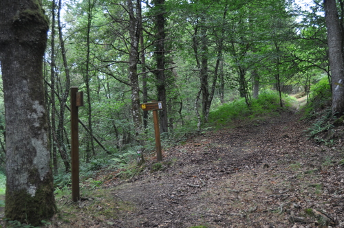
The route begins in Santa Eufemia, shortly after passing the Ecomuseo del Pan in the direction of Pacios. We enter a small path through a native forest populated by oak, birch, holly and chestnut trees.
-
Forest Route
- Villanueva de Oscos
- 8 km
- 2 hours and 45 minutes
- Download
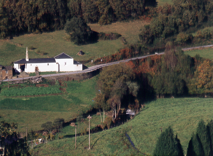
The route starts in Villanueva, capital of the council, from where we leave in the direction of Santa Eufemia where there is still a beautiful chapel of popular baroque style built between the seventeenth and eighteenth centuries that deserves to be visited. Continuing the itinerary along the road and after about three hundred meters of walking, we reach the Castañeira Bridge, and after crossing it we must take a path that goes off to the right, reaching a splendid birch forest next to the abandoned farmhouse of Abilleira.
-
Ruta Os Cortíos
- Santa Eulalia de Oscos
- 8,47 km
- 4 horas
- Baja
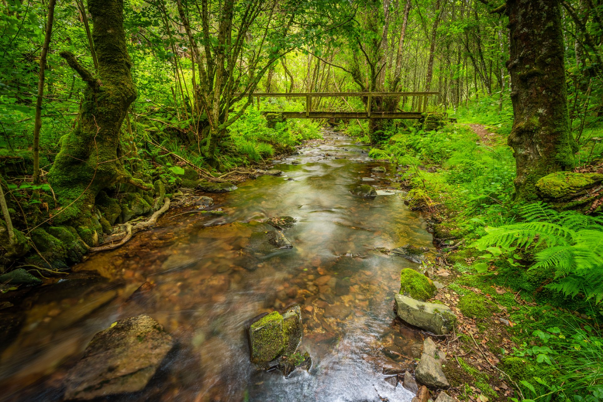
Esta ruta comienza en Barcia (Asturias) donde disponemos de un aparcamiento público para dejar nuestro coche a escasos metros del inicio.
-
Eo estuary path
- Vegadeo
- 4.58 km
- 1 hour and a half
- Download
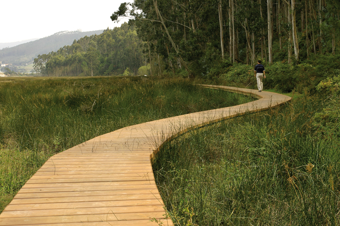
The route starts in the center of Vegadeo in the area known as the Fondrigo, located at the exit to Galicia. From here we start the ascent to Miou, where we will find a crossroads where the path forks and we can go on either side, since from this point the route is circular.
-
San Tirso de Abres – Vegadeo Route
- San Tirso de Abres
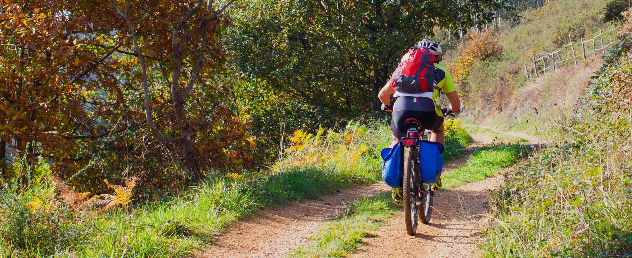
Download the route in PDF and KML and follow the route with your mountain bike or MTB.
-
Green path of San Martín de Oscos
- San Martín de Oscos
- 7.5 km
- 3 hours
- Download
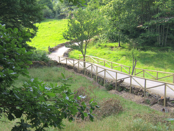
This is a circular route of about 7.5 km that starts and ends in the village of San Martín de Oscos. We start the route next to the tourist office going up to A Bouza, where we will contemplate an exceptional view of the village.


