


Route of the “Estraperlo
- Vegadeo
- Circular route
- 8.2 km
- 2 hours and 30 minutes
- Download
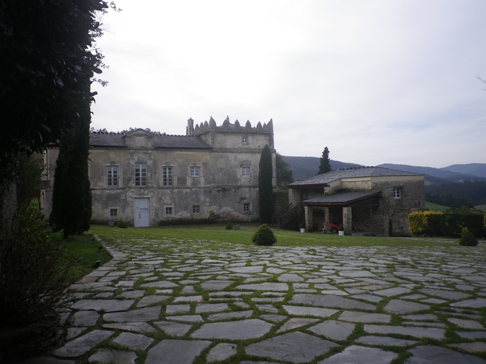
The route begins in Louteiro, which is accessed after taking a detour to the left shortly before leaving Vegadeo in the direction of Galicia. From the chapel of this village begins the route once used by pilgrims and pilgrims on pilgrimage to Santiago de Compostela, who avoided the main roads to pass products from Galicia to Asturias.
This is a route that runs along the banks of the Eo, through which we can see the fauna and flora of the estuary. In Abres there are still wharfs that were witnesses of the seafaring vitality of the estuary in the past. From the top of the hill, the Pividal Palace, an excellent example of local baroque built in 1674, guards the village and contemplates the passage of the Eo. Leaving Abres, we start a small ascent through Grandamiá until we reach the Sela de Murias, where we can visit the ruins of an old inn used as a resting and provisioning place by pilgrims and “arrieiros”, who, accompanied by their pack animals or ox carts, transported all kinds of goods. In its final stretch to Louteiro, the route runs immersed in a thick forest where we can find oak, chestnut, eucalyptus, … accompanied by abundant herbaceous and shrubby vegetation that covers the ground as a mosaic showing a variety of green tones.
Hiking trails
-
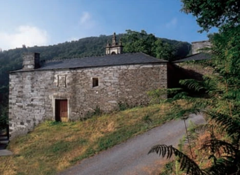
Mon Route
- San Martín de Oscos
 12.6 km
 4.5 hours
 Media
Media
The itinerary begins in the village of A Revoqueira, three kilometers from San Martín.
-
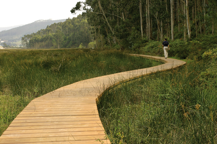
Eo estuary path
- Vegadeo
- 4.58 km
- 1 hour and a half
- Download
The route starts in the center of Vegadeo in the area known as the Fondrigo, located at the exit to Galicia. From here we start the ascent to Miou, where we will find a crossroads where the path forks and we can go on either side, since from this point the route is circular.
-
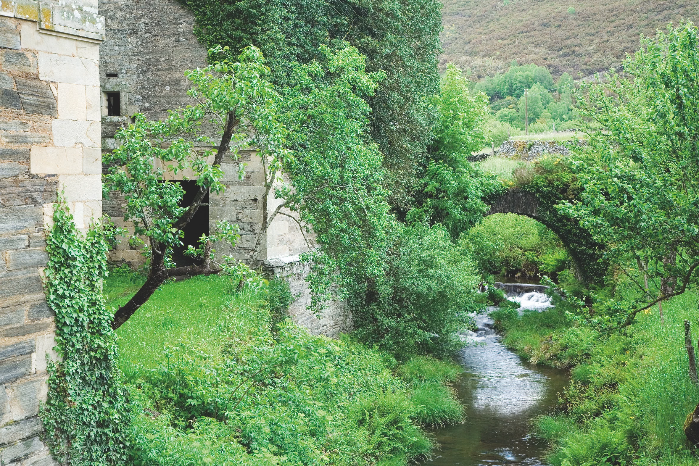
Balcones de Villanueva de Oscos Route
- Villanueva de Oscos
- 25,272 Km
- 5 hours
- Download
Download the route in PDF and KML and follow the route with your mountain bike or MTB. With different levels of difficulty, duration, slope and length. If you don’t have a bike you can rent one.
-
A Pena do Encanto Route
- San Tirso de Abres
- 4 km
- 1 hour and 20 minutes
- Download
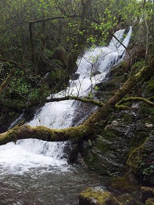
From the municipal capital we go to the exit of the town towards Galicia, finding ourselves on the right hand side with the San Isidro square in whose center is the chapel with the same name, coinciding with the starting point of the route.
-
A Coba Route
- Santa Eulalia de Oscos
- 14.5 km
- 5 hours
- Medium - high
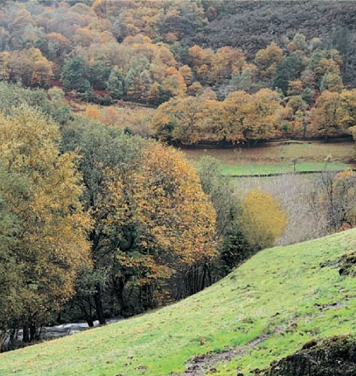
We start the route in the beautiful village of Ferreira, one of the best preserved of the municipality, where we can admire the popular architecture of the area while walking along its narrow paths in the shade of centuries-old vines.
-
Ouroso Route
- Taramundi
- 7.8 km
- 3 hours
- Download
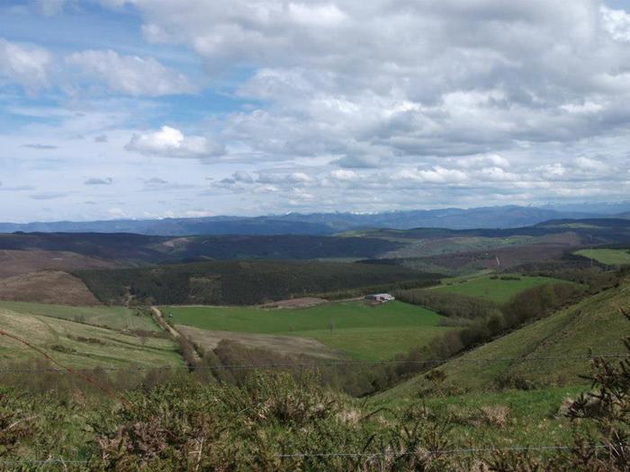
In the Teixo and just behind the hostel starts the forest track along which begins the walk to the Alto de Ouroso. The path is wide and passable by all-terrain vehicles, so there is hardly any possibility of getting lost. The route runs comfortably between wide pastures, heaths and pine forests of repopulation to reach a landing on which there is a small lagoon where at mid-morning many horses come to this point to water and refresh themselves in the shade of the pines. The animals graze in a semi-wild state and require little attention from their owners, which is why the number of horses has increased considerably in recent years.


