
Eo estuary path
- Vegadeo
- Circular route
- 4.58 km
- 1 hour and a half
- Download
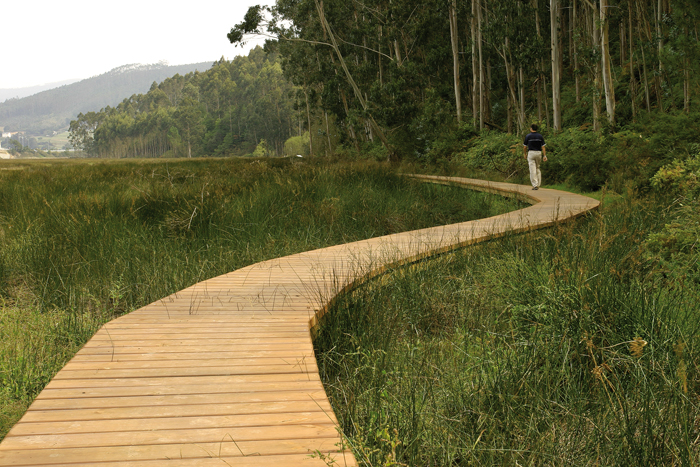
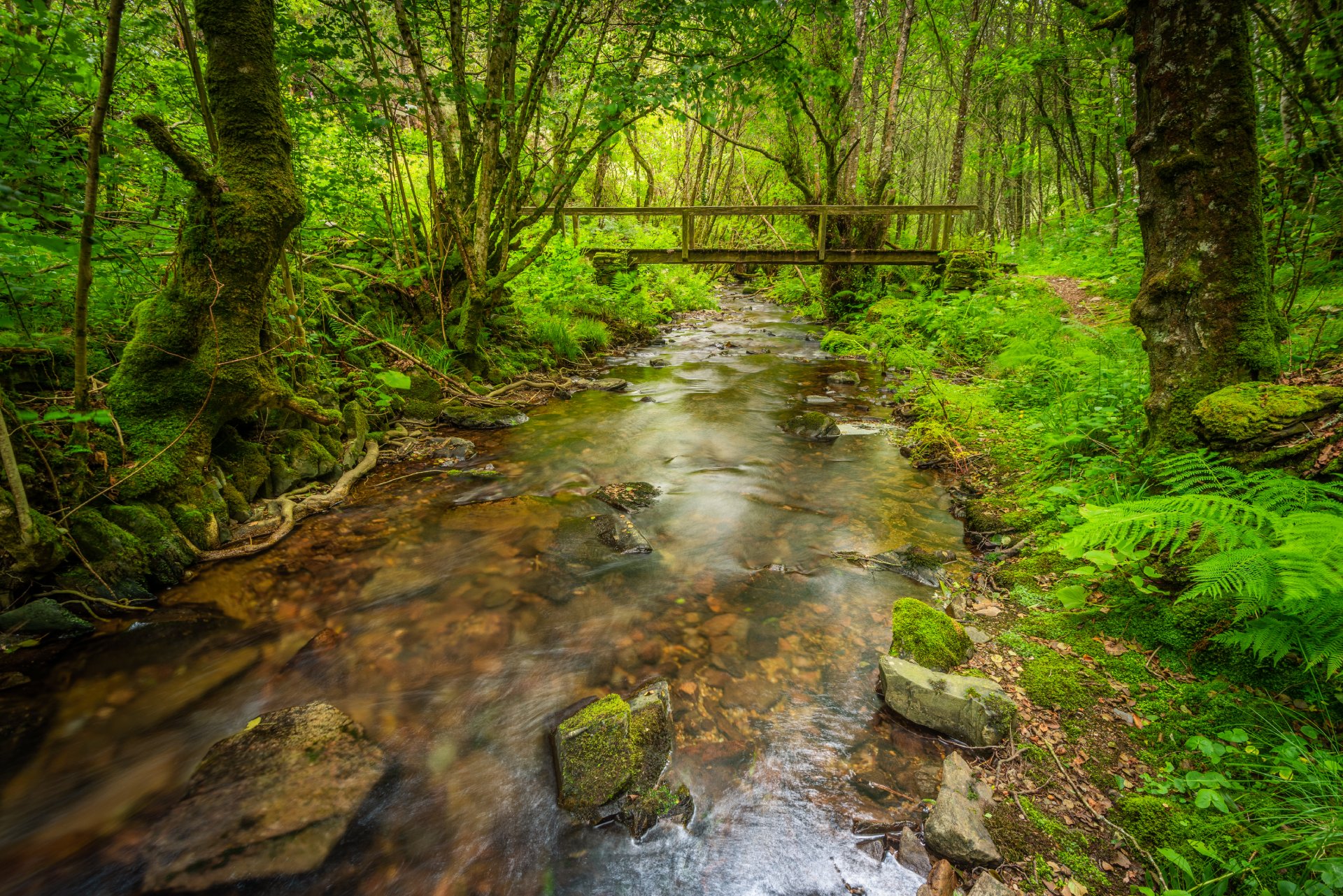
The route starts in the center of Vegadeo in the area known as the Fondrigo, located at the exit to Galicia. From here we start the ascent to Miou, where we will find a crossroads where the path forks and we can go on either side, since from this point the route is circular.
Suppose we decide to continue on the right, reaching shortly an area that allows us to see from above a beautiful view of the Eo estuary, a natural area included in the regional network of protected natural areas considered a Site of Community Interest (SCI), Special Protection Area for Birds (SPA), in addition to being part of the list of wetlands of international importance. We will continue along a dirt road perfectly conditioned reaching in a few meters a recreational area where we can rest or sit and enjoy the environment in which it will not be difficult to find some of the more than eighty species of birds recorded in the Eo estuary. From here and after a short descent we reach the pontoon area that will allow us to approach the estuary giving us the feeling of walking on the water especially at high tide. After a few meters we reach the jetty area, now recovered and equipped with wooden platforms that in summer time will be useful for sunbathing. Finally we cross Louteiro, we arrive at Miou, and from here to the starting point after having enjoyed a pleasant walk.
Hiking trails
-
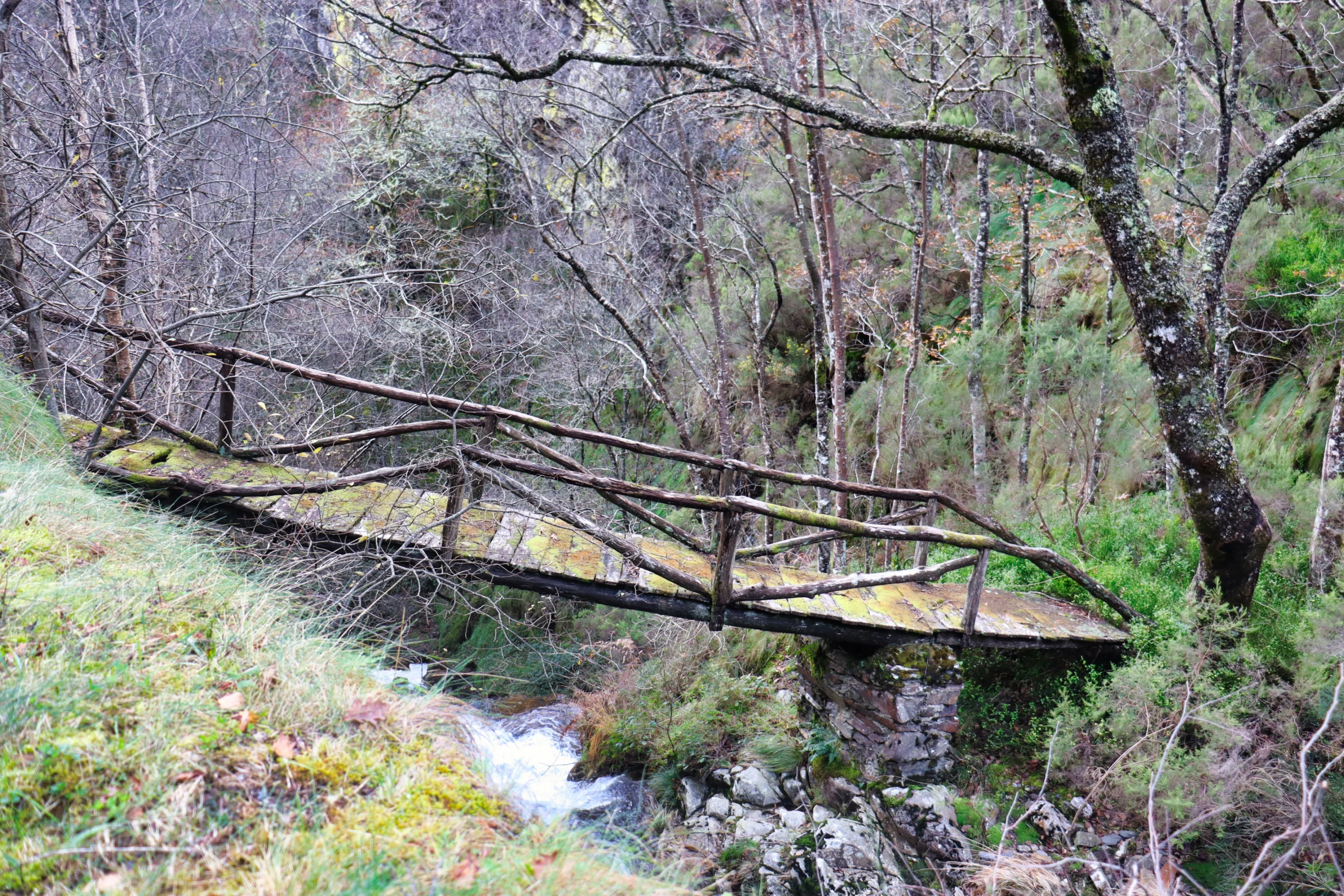
Ruta del Esqueicer
- Santa Eulalia de Oscos
 8,6 Km
 3 horas
 Media
Media
La ruta arranca en una curva situada entre el puente y la aldea de Sualleiro, justo al lado de los apartamentos que llevan ese mismo nombre. Inaugurada en agosto de 2020, se presenta bien cuidada y correctamente señalizada con flechas pintadas en árboles y piedras.
-
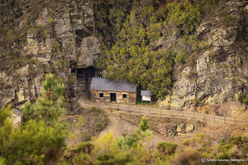
San Martín de Oscos Mining Route
- San Martín de Oscos
- 30,618 Km
Download the route in PDF and KML and follow the route with your mountain bike or MTB. With different levels of difficulty, duration, slope and length. If you don’t have a bike you can rent one.
-
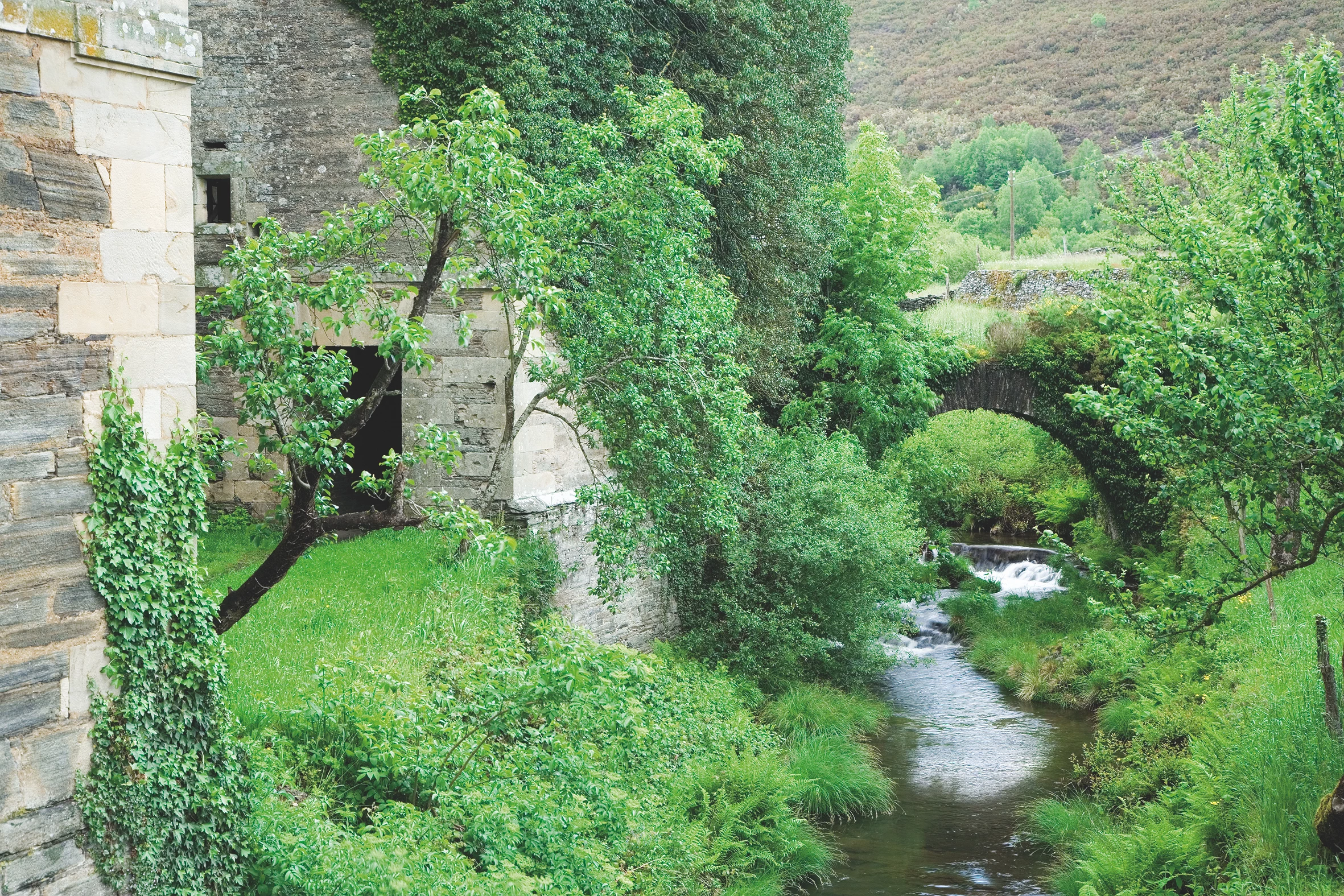
Balcones de Villanueva de Oscos Route
- Villanueva de Oscos
- 25,272 Km
- 5 hours
- Download
Download the route in PDF and KML and follow the route with your mountain bike or MTB. With different levels of difficulty, duration, slope and length. If you don’t have a bike you can rent one.
-
Ruta Os Cortíos
- Santa Eulalia de Oscos
- 8,47 km
- 4 horas
- Baja
Esta ruta comienza en Barcia (Asturias) donde disponemos de un aparcamiento público para dejar nuestro coche a escasos metros del inicio.
-
Ruta de los Ferreiros
- Taramundi
- 8 Km
- 2h 30m
- Baja
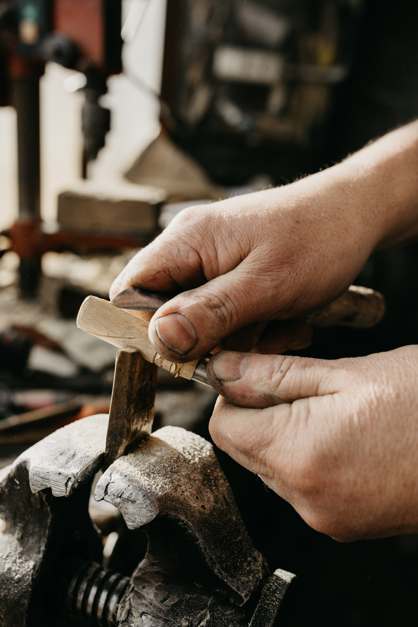
La Ruta de Os Ferreiros es un recorrido circular que invita a descubrir la esencia de Taramundi a través de su paisaje, su historia y sus oficios tradicionales. Un paseo accesible y lleno de encanto, perfecto para disfrutar de la naturaleza y el patrimonio cultural del concejo.
-
Ruta de Eiroá
- Taramundi
- 13 km
- 3h 50m
- Baja
Esta ruta circular recorre buena parte del valle del río Cabreira, combinando caminos de montaña en la ida y de fondo de valle en la vuelta. Se inicia junto al hotel La Rectoral, tomando el camino que asciende entre el arbolado hacia la Sierra de Eiroá. Sin llegar a alcanzar su cumbre nos desviamos hacia el pueblo de Piñeiro, para llegar a él en suave descenso y disfrutar de su arquitectura tradicional y cabazos alzados al cielo.