
As Minas Route
- Castropol
- Circular route
- 5 km
- 1 hour and a half
- low
The route starts in the town of Tol. At the crossroads of the church of San Salvador, follow the signs to the parking area Fontequias, in the vicinity of the neighborhood of Cabaleiros.
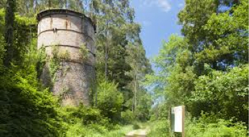
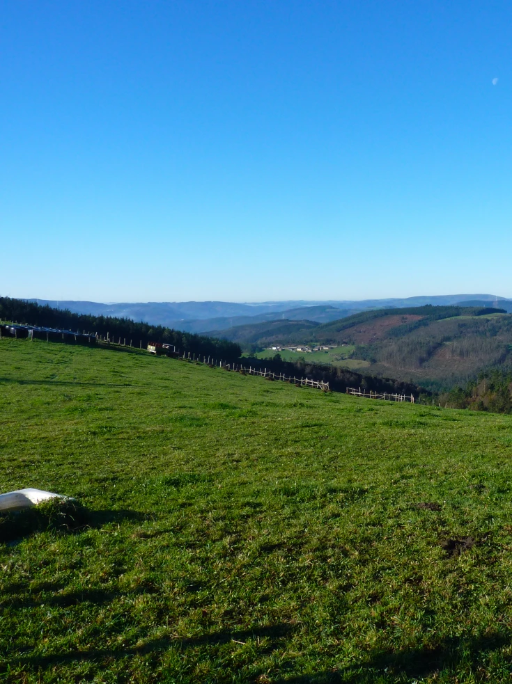
After leaving the vehicle, we head up the mountain on a paved road. On the way, we will see one of the most important cattle ranches in Asturias in terms of head of cattle, production and prizes. If you are interested in approaching it, the owners will be pleased to help you. Leaving the place of Boudois behind, we find a dirt road on the right that leads to the mine. At this point, the asphalt gives way to a nice path that runs through lush vegetation along the left bank of the Boudois stream. Turning right at the next crossroads we can see the remains of the furnace of the old iron mine. At this point an explanatory panel tells us some curiosities about it. We continue ascending to finally reach the top of Mount Arbedosa from where we can see a panoramic view that will undoubtedly surprise the traveler for its spectacular and chromatic variety. The blue of the coast blends with the green of the coast that appears tinted with black and white specks that make up small villages. It is worth stopping for a moment in Arbedosa and play to discover in the distance corners like Penarronda beach. From this point the route continues along an unpaved dirt track that descends to take us to the starting point.
Hiking trails
-
As Carballeiras Green Trail
- Santa Eulalia de Oscos
 4.5 km
 1 hour 20 minutes
 Download
This route starts at the Nature Interpretation Center, in the center of Santa Eulalia de Oscos.
-
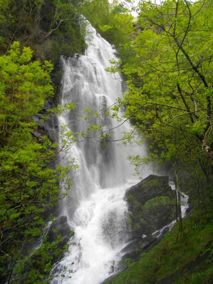
A Seimeira Route
- Santa Eulalia de Oscos
- 8 km round trip
- 3 hours
- Download
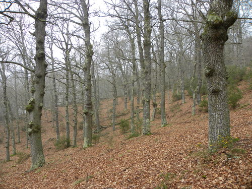
The route begins in the recreational area of Pumares; we cross the road and head parallel to the river to Pumares, a village of old ferreira activity, where we can still see the remains of an old mallet. From here, along a marked path, and leaving the river Agüeira to our left, we continue a slight ascent into a legendary forest characterized by riparian species (alders, ashes, willows, and hazelnut trees) and by oaks and chestnut trees that with their whimsical shapes are true monuments.
-
Ruta Piorno a os Fornos
- San Martín de Oscos
- 5,5 km
- 2h 30m
- Baja
Iniciamos la ruta en el pueblo de Piorno, que se recomienda recorrer porque conserva excelentes muestras de arquitectura tradicional de los Oscos en piedra, pizarra y madera.
-
Ruta de Eiroá
- Taramundi
- 13 km
- 3h 50m
- Baja
Esta ruta circular recorre buena parte del valle del río Cabreira, combinando caminos de montaña en la ida y de fondo de valle en la vuelta. Se inicia junto al hotel La Rectoral, tomando el camino que asciende entre el arbolado hacia la Sierra de Eiroá. Sin llegar a alcanzar su cumbre nos desviamos hacia el pueblo de Piñeiro, para llegar a él en suave descenso y disfrutar de su arquitectura tradicional y cabazos alzados al cielo.
-
Eo estuary path
- Vegadeo
- 4.58 km
- 1 hour and a half
- Download
The route starts in the center of Vegadeo in the area known as the Fondrigo, located at the exit to Galicia. From here we start the ascent to Miou, where we will find a crossroads where the path forks and we can go on either side, since from this point the route is circular.
-
Route of the Mazo de Meredo
- Vegadeo
- 13 km
- 4 hours
- half
The route starts in Piantón, a charming village that was once the capital of the council, located about two kilometers from Vegadeo in which we recommend a walk around the square and a visit to the church. We cross the so-called Roman Bridge and take the path to the left towards Arcilo. The path begins with a slight ascent through a deep eucalyptus forest mixed with remnants of native vegetation: chestnut, holly, laurel, … fed by numerous streams.