
Forcón de los Ríos Route
- Santa Eulalia de Oscos
- Circular route
- 13.3 km
- 4 hours
- Media
Route of nature and ethnography that begins next to the house of culture in Santa Eulalia de Oscos.
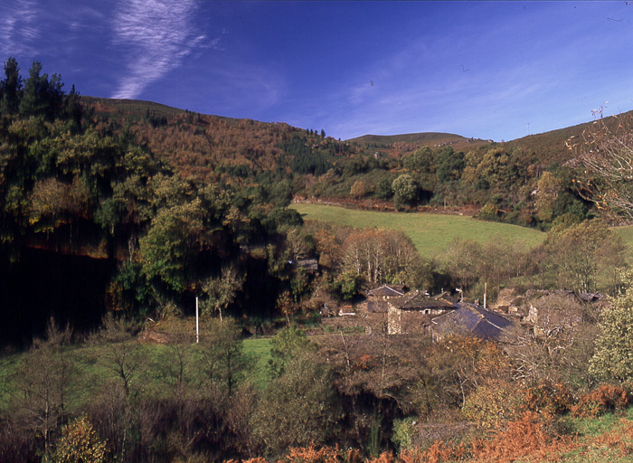
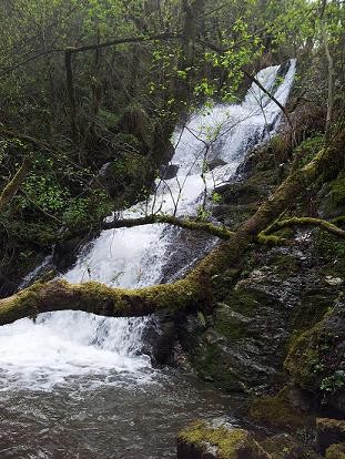
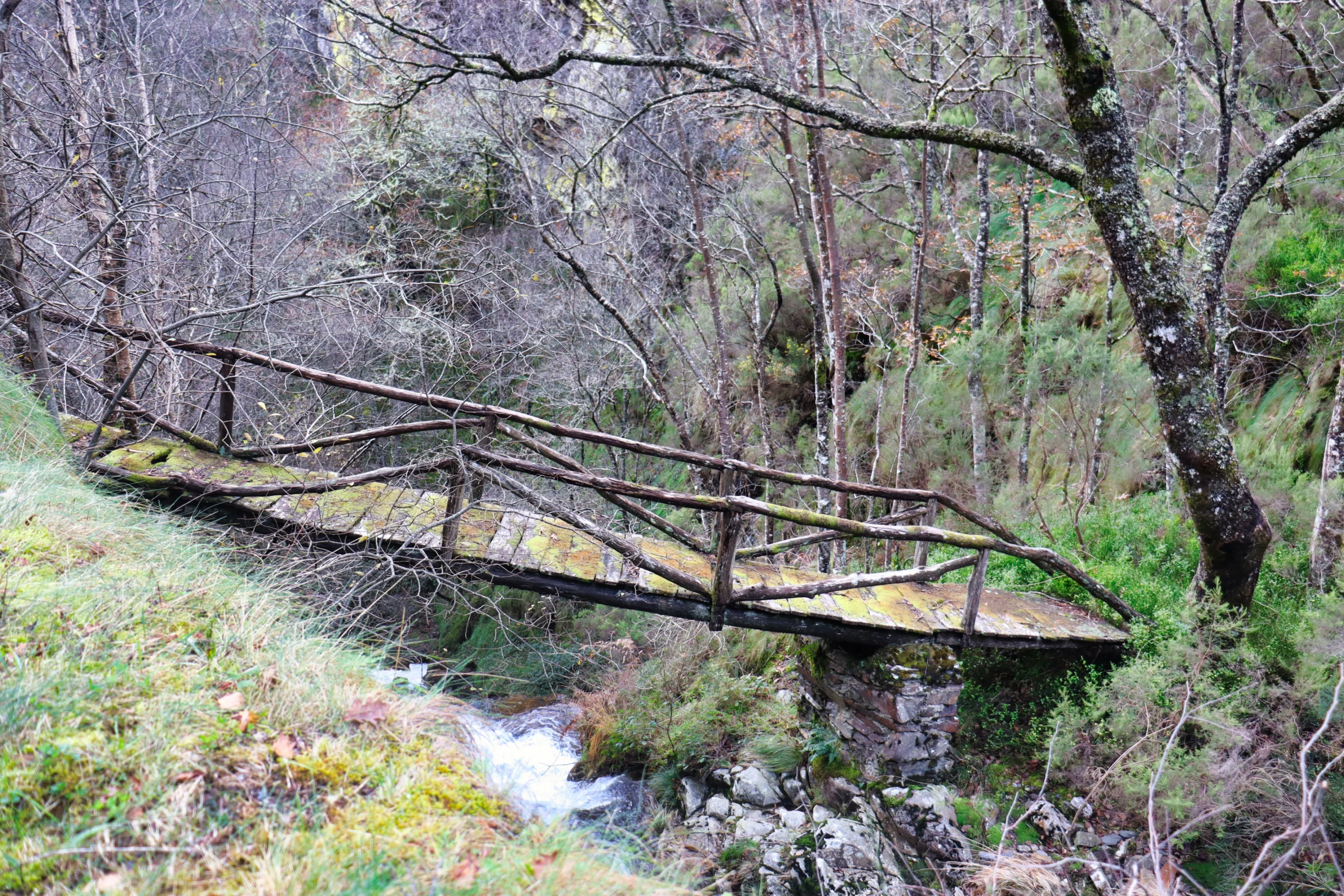
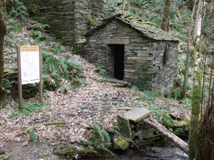
We leave in the direction of Millarado crossing a wooded area characterized by the presence of oaks, birches and pines, after which we reach a cattle farm (Millarado). After As Poceiras we descend the slope and cross a bridge over the river Barcia that will allow us to ascend to Vega del Carro where we pass next to the chapel consecrated to Nuestra Señora del Carmen, built with stone, wood and slate with the characteristic yew tree guarding it. On a path between mountains and river, we arrive at the confluence (forcón) of the rivers Villanueva and Barcia, which gives its name to the route. After crossing the inner road of the Oscos submerged in the forest that closes the Villanueva river with the presence of alder, ash, willow and hazelnut trees, we arrive at A Valía, of special ethnographic value, cradle of the Lombardía, who were watchmakers and inventors. After crossing San Julián and Caraduxe, we arrive at Ferreirela de Riba, where we find the old House of the Lombardero; continuing straight ahead on an asphalt road, we leave on the left a small path that leads to Ferreirela de Baxo where we find the Museum Casa Natal del Marqués de Sargadelos, a faithful recreation of the traditional housing of the Oscos and the peasant life in the region. In a few minutes we will be back at the starting point.
Hiking trails
-
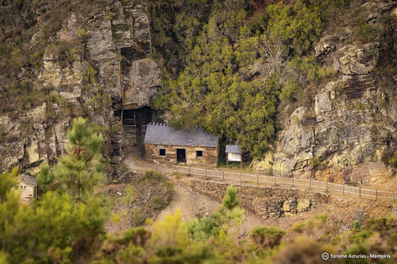
San Martín de Oscos Mining Route
- San Martín de Oscos
 30,618 Km
Download the route in PDF and KML and follow the route with your mountain bike or MTB. With different levels of difficulty, duration, slope and length. If you don’t have a bike you can rent one.
-
Taramundi – Vegadeo route through the Eiros Mountain Range
- Taramundi
Download the route in PDF and KML and follow the route with your mountain bike or MTB.
-
Agüeira Green Path
- Villanueva de Oscos
- 14 km
 5 h
5 h Media
Media
The route is made up of two circular sections starting and ending in the center of Villanueva. The longer one, about 12 km, coincides in part with the forest route.
-
A Pena do Encanto Route
- San Tirso de Abres
- 4 km
- 1 hour and 20 minutes
- Download
From the municipal capital we go to the exit of the town towards Galicia, finding ourselves on the right hand side with the San Isidro square in whose center is the chapel with the same name, coinciding with the starting point of the route.
-
Ruta del Esqueicer
- Santa Eulalia de Oscos
- 8,6 Km
- 3 horas
- Media
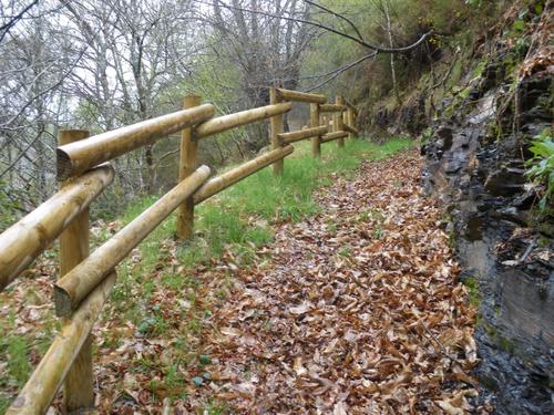
La ruta arranca en una curva situada entre el puente y la aldea de Sualleiro, justo al lado de los apartamentos que llevan ese mismo nombre. Inaugurada en agosto de 2020, se presenta bien cuidada y correctamente señalizada con flechas pintadas en árboles y piedras.
-
Teixo – Os Teixois Route
- Taramundi
- 10 km
- 3 hours and 45 minutes
- Media
The itinerary begins in Teixo, where after leaving the vehicle and passing the last houses we start an easy walk along the road that connects this town with Santa Marina, leaving it to the right by a wide dirt track that leads us after a slight descent to the Arroyo das Mestas.