


Ruta del Esqueicer
- Santa Eulalia de Oscos
- Ruta circular
- 8,6 Km
- 3 horas
- Media
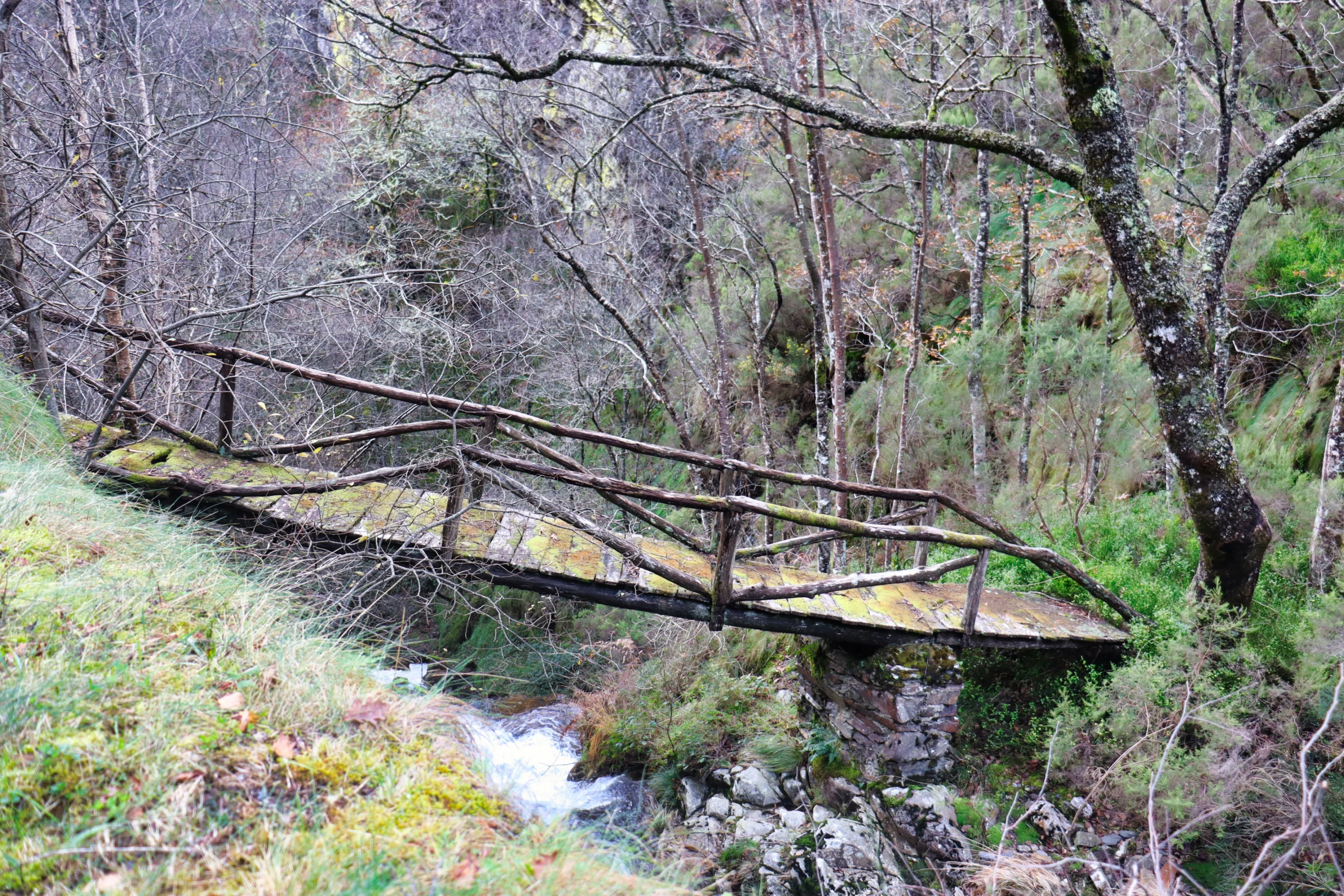
La ruta arranca en una curva situada entre el puente y la aldea de Sualleiro, justo al lado de los apartamentos que llevan ese mismo nombre. Inaugurada en agosto de 2020, se presenta bien cuidada y correctamente señalizada con flechas pintadas en árboles y piedras.
El primer tramo asciende suavemente por una pista cómoda, flanqueada por un muro de piedra a la derecha, mientras el río discurre en paralelo, unos metros más abajo. Tras esta subida inicial, el camino desciende y nos lleva hasta las ruinas de una antigua cabaña. Poco después, cruzamos un pequeño arroyo, que en épocas secas apenas lleva agua.
A través del arbolado se intuye un pequeño núcleo rural que dejaremos a la derecha tras recorrer un breve tramo de carretera. Giramos entonces a la izquierda para bordear el poblado por el otro lado y, al atravesar sus callejuelas, lo abandonamos ascendiendo por una pequeña cuesta que desemboca en una bifurcación.
Aquí tomamos el sendero de la derecha, en subida. El camino de la izquierda conduce a un pueblo abandonado, al que se puede visitar como desvío, regresando luego al cruce para continuar la ruta principal. La subida, larga y constante, culmina en el pueblo de Ventoso, el punto más elevado del recorrido.
Desde allí seguimos por carretera hasta casi el final del pueblo, donde giramos a la derecha para tomar una pista que bordea plantaciones de arándanos. Iniciamos entonces el descenso: tras salir de nuevo a la carretera, retomamos el sendero por un tramo de bajada, con algún cruce más hasta alcanzar una senda de tierra.
Finalmente, llegamos a la zona del puente. Entre dos casas, giramos a la derecha y, tras unos 50 metros por carretera, regresamos al punto de inicio donde se encuentra el cartel de la ruta, cerrando así este agradable paseo circular.
Hiking trails
-
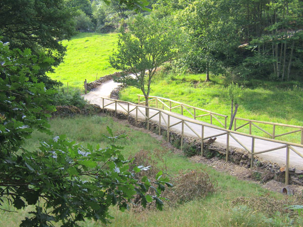
Green path of San Martín de Oscos
- San Martín de Oscos
 7.5 km
 3 hours
 Download
This is a circular route of about 7.5 km that starts and ends in the village of San Martín de Oscos. We start the route next to the tourist office going up to A Bouza, where we will contemplate an exceptional view of the village.
-
Route of Silence
- Villanueva de Oscos
- 12 km
- 5 hours
- High
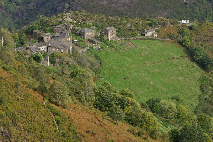
The route starts in San Cristobal, a place where we find numerous samples of popular architecture in its purest state, giving us the sensation of having gone back several centuries in time. From its chapel we see the valley of Rio Ahio covered with a beautiful blanket of native forest that dazzles us with its typical colors.
-
Ruta de Eiroá
- Taramundi
- 13 km
- 3h 50m
- Baja
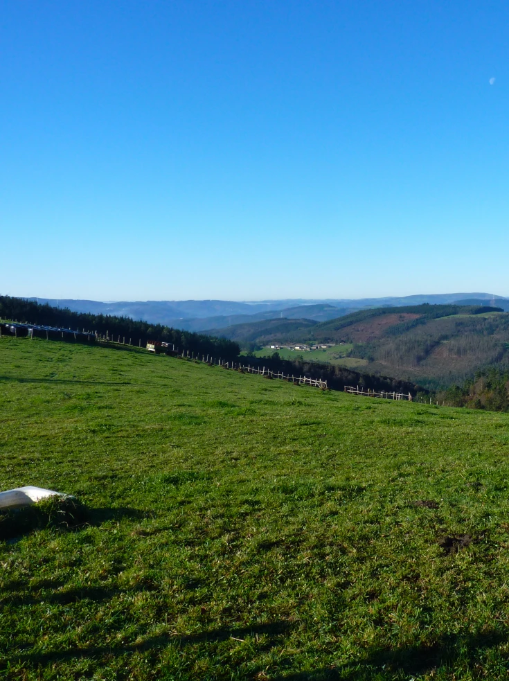
Esta ruta circular recorre buena parte del valle del río Cabreira, combinando caminos de montaña en la ida y de fondo de valle en la vuelta. Se inicia junto al hotel La Rectoral, tomando el camino que asciende entre el arbolado hacia la Sierra de Eiroá. Sin llegar a alcanzar su cumbre nos desviamos hacia el pueblo de Piñeiro, para llegar a él en suave descenso y disfrutar de su arquitectura tradicional y cabazos alzados al cielo.
-

Coastal Path Tapia – Figueras
- Castropol
- 14 km
- 4 hours
- Download
In our region the route starts at Penarronda beach, declared a natural monument for its high environmental values, a beach that holds the blue flag and where you can not miss a good swim.
-
Railroad Route
- San Tirso de Abres
- 15 km
- 5 hours
- Download
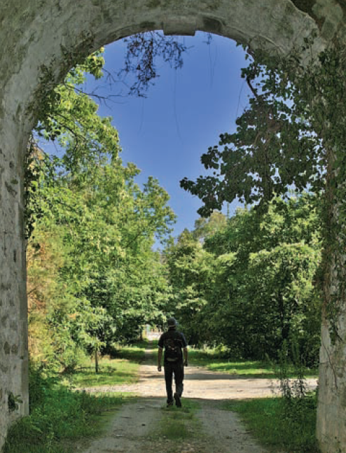
We start the walk in the old station of San Tirso de Abres, today restored for private housing, finding the first of the six tunnels just 300 m away, continuing next to the river Eo enjoying every moment of great panoramic views of the riverbed, of incalculable ecological and fish value, in which abound a large number of aquatic species, the most characteristic being trout, lamprey and salmon. Later the path crosses the N-640 road and leads us to an old power station built in 1932, located just before crossing another of the tunnels drilled in the rock, which leaves us close to the pedestrian walkway over the river Eo.
-
Ouroso Route
- Taramundi
- 7.8 km
- 3 hours
- Download
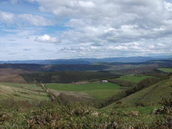
In the Teixo and just behind the hostel starts the forest track along which begins the walk to the Alto de Ouroso. The path is wide and passable by all-terrain vehicles, so there is hardly any possibility of getting lost. The route runs comfortably between wide pastures, heaths and pine forests of repopulation to reach a landing on which there is a small lagoon where at mid-morning many horses come to this point to water and refresh themselves in the shade of the pines. The animals graze in a semi-wild state and require little attention from their owners, which is why the number of horses has increased considerably in recent years.


