


Taramundi – Vegadeo route through the Eiros Mountain Range
- Taramundi
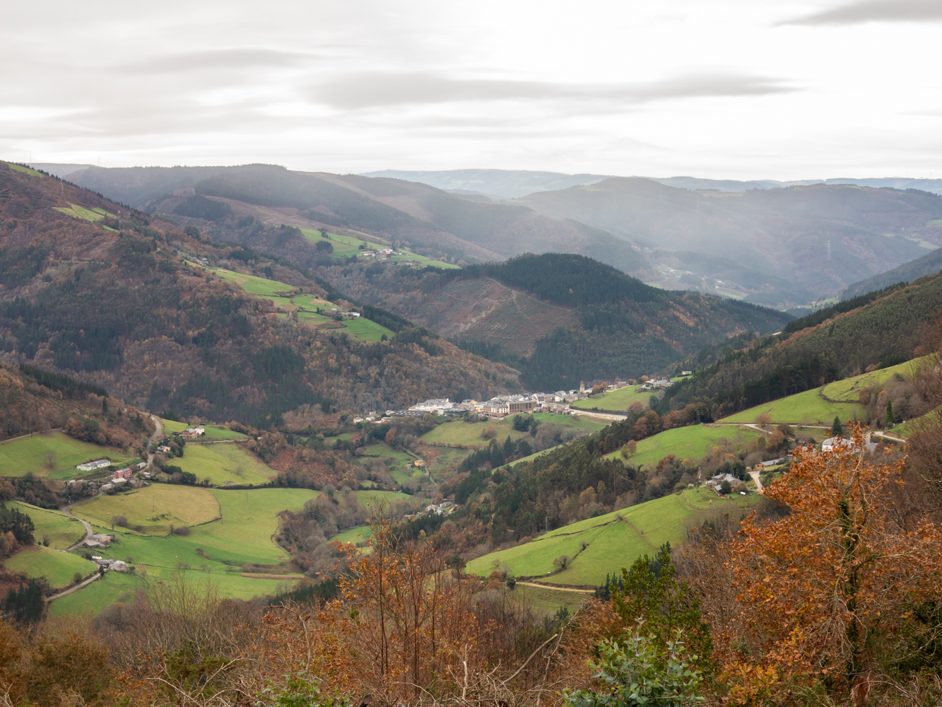
Download the route in PDF and KML and follow the route with your mountain bike or MTB.
With different levels of difficulty, duration, slope and length.
If you don’t have a bike you can rent one.
Hiking trails
-
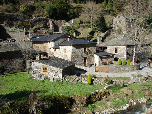
Water Route
- Taramundi
 14 km
14 km 4 hours and 30 minutes
 Download
Its fourteen kilometers allow us to enjoy the water and its use for centuries in the rural environment. From the lower part of Taramundi we take a road that leads us to Mazonovo, where we can visit the Museum of Mills.
-
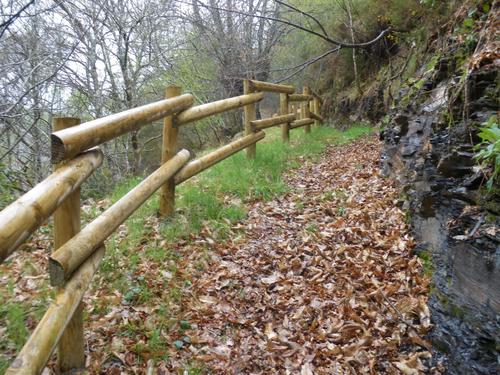
Agüeira Green Path
- Villanueva de Oscos
- 14 km
- 5 h
- Media
The route is made up of two circular sections starting and ending in the center of Villanueva. The longer one, about 12 km, coincides in part with the forest route.
-
As Minas Route
- Castropol
- 5 km
- 1 hour and a half
- low
The route starts in the town of Tol. At the crossroads of the church of San Salvador, follow the signs to the parking area Fontequias, in the vicinity of the neighborhood of Cabaleiros.
-
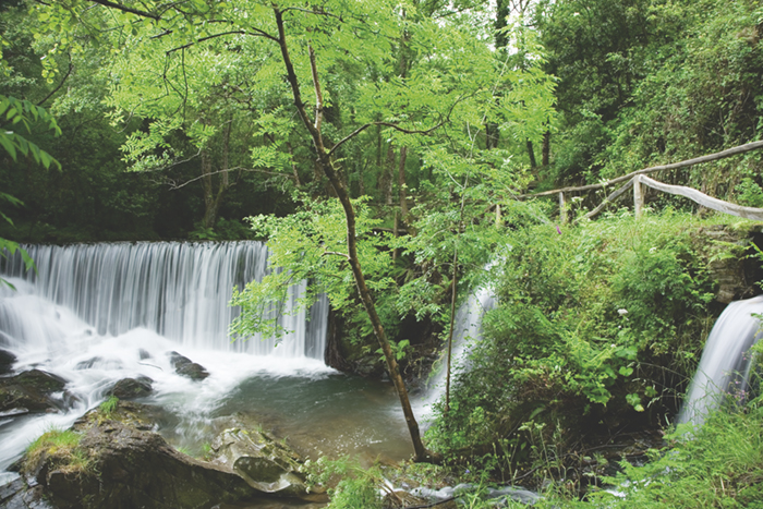
Route of the Mazo de Meredo
- Vegadeo
- 13 km
- 4 hours
- half
The route starts in Piantón, a charming village that was once the capital of the council, located about two kilometers from Vegadeo in which we recommend a walk around the square and a visit to the church. We cross the so-called Roman Bridge and take the path to the left towards Arcilo. The path begins with a slight ascent through a deep eucalyptus forest mixed with remnants of native vegetation: chestnut, holly, laurel, … fed by numerous streams.
-
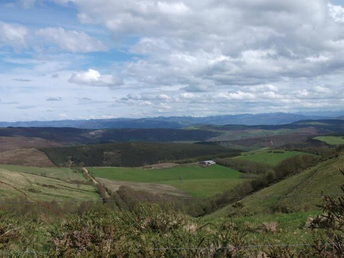
Taramundi – Ouroso – Teixois – Veigas – Taramundi Route
- Taramundi
- 29,524 Km
Download the route in PDF and KML and follow the route with your mountain bike or MTB. With different levels of difficulty, duration, slope and length. If you don’t have a bike you can rent one.
-
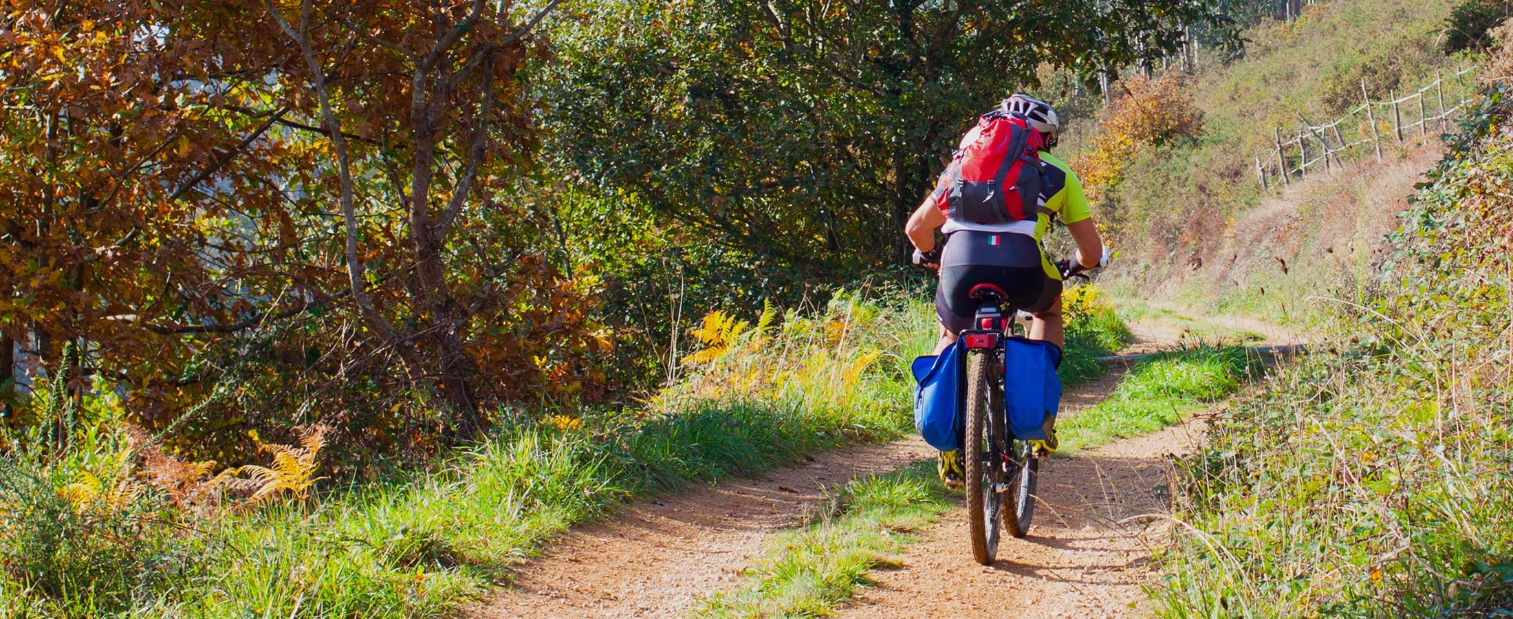
Vaguadas de Santa Eulalia de Oscos Route
- Santa Eulalia de Oscos
Download the route in PDF and KML and follow the route with your mountain bike or MTB.


