


Ruta de los Pañeiros
- San Tirso de Abres
- Lineal
- 6 km (solo ida)
- 2 horas
- Baja
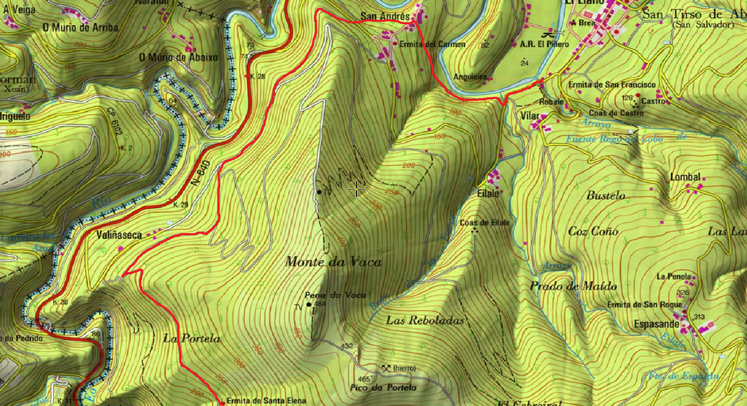
Antiguo Camino de Santiago que acogía a los romeros llegados por la Ría del Eo.
Desde El Llano nos dirigimos hacia San Andrés y a pocos metros nos encontramos con el “Peto de Ánimas” del Paxarelo donde se inicia esta senda a orillas del Rio Eo. Discurre por un sendero fluvial que permite divisar la flora de rivera (alisos, sauces, fresnos) o contemplar el salto de truchas o salmones.
La ruta asciende hasta San Andrés, localidad en la que existió una mina de hierro y que hoy posee explotaciones agricolas y ganaderas dada la fertilidad del Valle del Eo.
La pendiente va aumentando ligeramente en el tramo final del recorrido y entre pinares y robledales el caminante llega a la Ermita de Prado. Desde allí el Camino de Santiago se adentra en tierras gallegas.
Una vez llegado al final de la ruta hay dos opciones: Regresar por la misma senda o desde Prado bajar hacia el rio Eo y alli nos encontraremos con la Ruta del Ferrocarril por la que volveremos a San Tirso.
Hiking trails
-
Cascada del Cioyo
- Castropol
 3 km
3 km 1 - 2 horas
 Media
Media
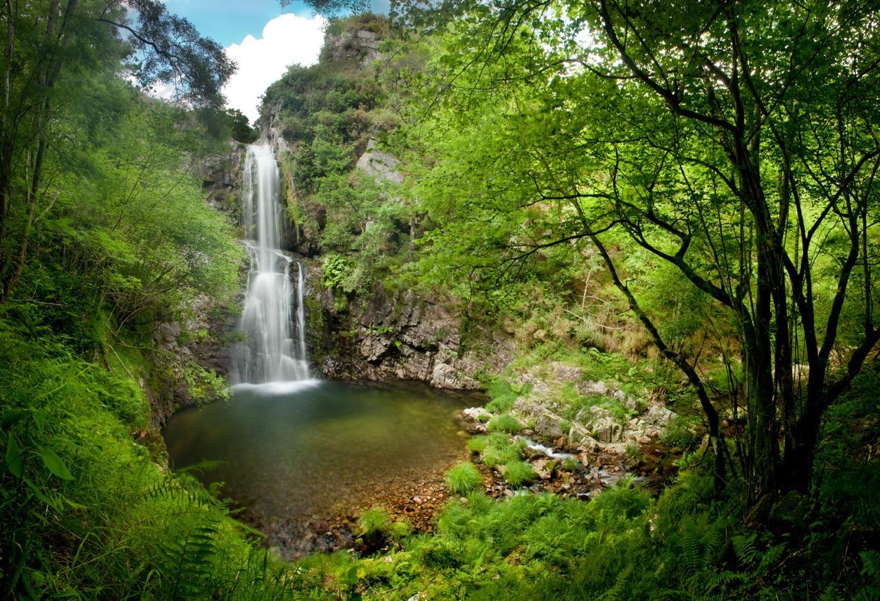
Escondida entre montañas y bosques del occidente asturiano, la Cascada del Cioyo es uno de esos lugares que parecen sacados de un cuento. El sonido del agua al caer, la vegetación exuberante que la rodea y la paz del entorno hacen de este rincón un destino ideal para quienes buscan conectar con la naturaleza. Una caminata entre árboles, pequeñas cascadas y paisajes que invitan a parar y respirar. Al final del recorrido, la gran cascada del Cioyo se abre paso con fuerza entre la roca, regalando una imagen de belleza salvaje difícil de olvidar.
-
A Coba Route
- Santa Eulalia de Oscos
- 14.5 km
- 5 hours
- Medium - high
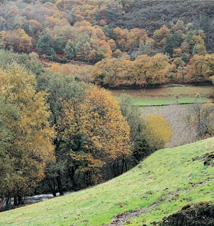
We start the route in the beautiful village of Ferreira, one of the best preserved of the municipality, where we can admire the popular architecture of the area while walking along its narrow paths in the shade of centuries-old vines.
-
Agüeira Green Path
- Villanueva de Oscos
- 14 km
- 5 h
- Media
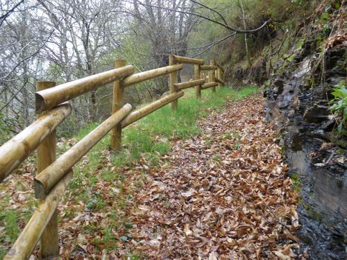
The route is made up of two circular sections starting and ending in the center of Villanueva. The longer one, about 12 km, coincides in part with the forest route.
-
Teixo – Os Teixois Route
- Taramundi
- 10 km
- 3 hours and 45 minutes
- Media
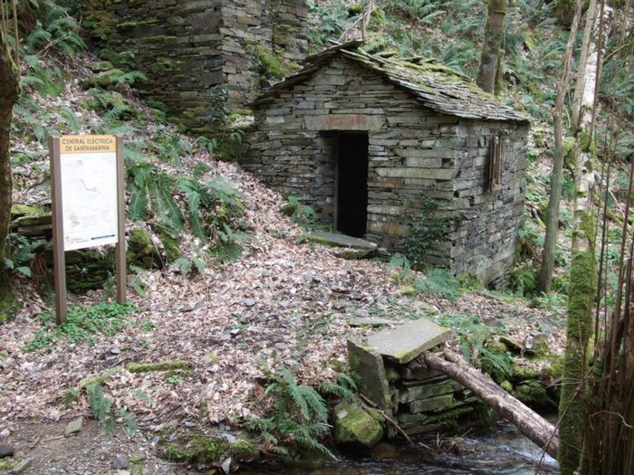
The itinerary begins in Teixo, where after leaving the vehicle and passing the last houses we start an easy walk along the road that connects this town with Santa Marina, leaving it to the right by a wide dirt track that leads us after a slight descent to the Arroyo das Mestas.
-
San Martín de Oscos Mining Route
- San Martín de Oscos
- 30,618 Km
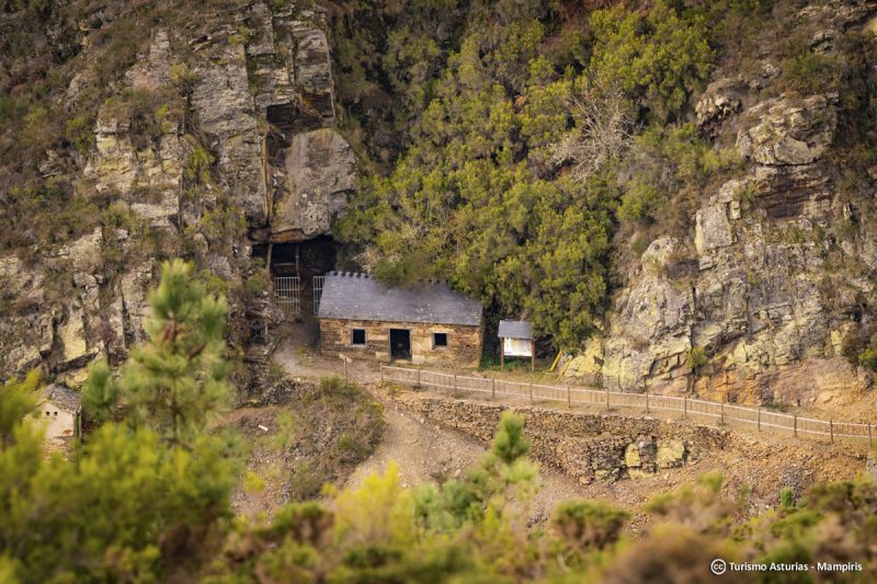
Download the route in PDF and KML and follow the route with your mountain bike or MTB. With different levels of difficulty, duration, slope and length. If you don’t have a bike you can rent one.
-
Vaguadas de Santa Eulalia de Oscos Route
- Santa Eulalia de Oscos
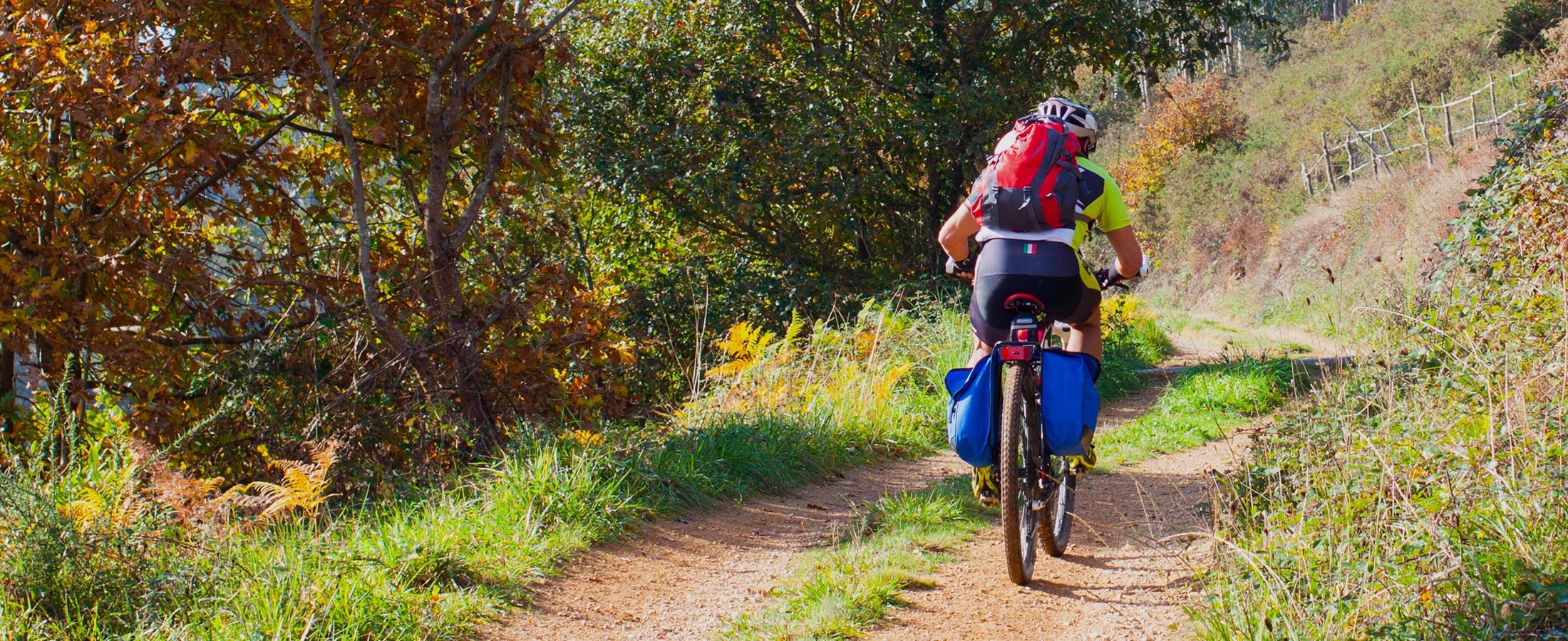
Download the route in PDF and KML and follow the route with your mountain bike or MTB.


