
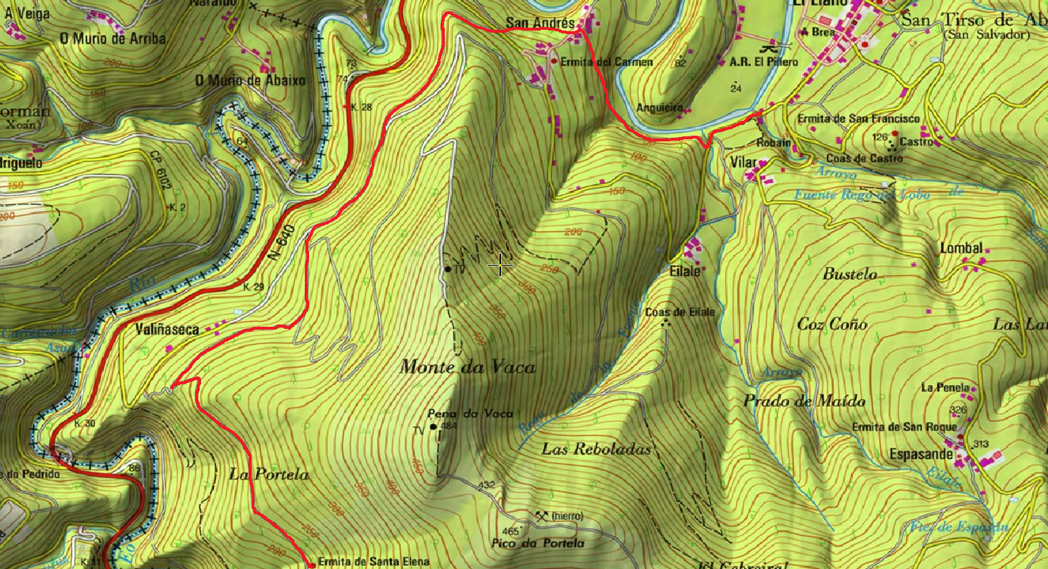
As Minas Greenway
- Vegadeo
- Circular route
- 13 km
- 4 hours
- Media
The route starts in the town of A Espía (Vegadeo) and is accessed through the AS-11 road that connects Vegadeo with Los Oscos.
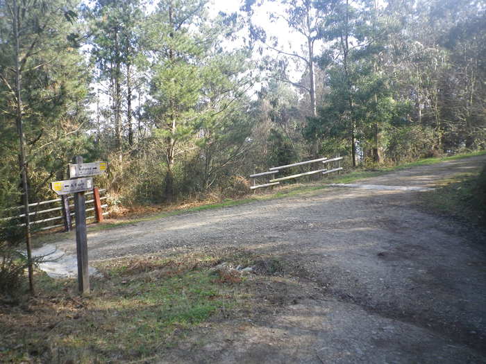
The trail consists of a circular section of about 8.7 km long, with an estimated travel time of 2 hours and a half, and a linear route, optional, of 4.3 km and estimated time of an hour and a half, which presents a greater difficulty and that will take us to Pico Bedures. After parking we see the beginning of the route with a complete explanatory panel, we start the path towards Rego de Llu, where we can stop to see one of the mouths, we continue the journey through the mountains of Bedures, Lameira and Rubieira, the path runs halfway up the slope and offers excellent views of the sea and other villages in the vicinity. After completing the circle and arriving back to Espía we have the option to climb the Bedures Peak, it is a steep slope, but in the end the views from the summit reward us for the effort and we can regain strength in the recreational area of Bedures.
Hiking trails
-
Ruta Piorno a os Fornos
- San Martín de Oscos
 5,5 km
 2h 30m
 Baja
Baja
Iniciamos la ruta en el pueblo de Piorno, que se recomienda recorrer porque conserva excelentes muestras de arquitectura tradicional de los Oscos en piedra, pizarra y madera.
-
Route of the “Estraperlo
- Vegadeo
- 8.2 km
- 2 hours and 30 minutes
- Download
The route begins in Louteiro, which is accessed after taking a detour to the left shortly before leaving Vegadeo in the direction of Galicia. From the chapel of this village begins the route once used by pilgrims and pilgrims on pilgrimage to Santiago de Compostela, who avoided the main roads to pass products from Galicia to Asturias.
-
Taramundi – Vegadeo route through the Eiros Mountain Range
- Taramundi
Download the route in PDF and KML and follow the route with your mountain bike or MTB.
-
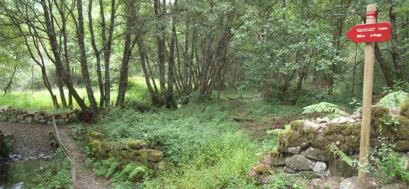
Route of the Muleteers
- San Tirso de Abres
- 15 km round trip
- 5 hours
- Download
To start the route we will move to the village of Espasande and half a kilometer from here in the direction of Taramundi we will see an explanatory panel on the left hand side at the beginning of the route.
-
Ruta de los Pañeiros
- San Tirso de Abres
- 6 km (solo ida)
- 2 horas
- Baja
Antiguo Camino de Santiago que acogía a los romeros llegados por la Ría del Eo.
-
Castropol-Figueras coastal walk
- Castropol
- 8 km round trip
- 2 hours
- Download
The trail starts at the entrance of the village, where we will find a suitable place to leave the car. After a few meters we will find an information panel that will give us a general idea of the itinerary.