


Castropol-Figueras coastal walk
- Castropol
- Linear route
- 8 km round trip
- 2 hours
- Download
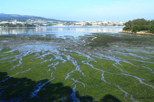
The trail starts at the entrance of the village, where we will find a suitable place to leave the car. After a few meters we will find an information panel that will give us a general idea of the itinerary.
We continue until we reach Salías, from here we can see a large part of the Linera inlet, Castropol on the left side, Figueras on the right side and in the background Ribadeo and the bridge of Los Santos; the islet of Turullón with its unique silhouette. At low tide you can see the oyster and mollusc crops of the Eo estuary. Spectacular is the contrast offered by the blue of the estuary with the green meadows that surround it. Our next stop is the Esquilo viaduct where we find a small Ribera carpentry. The only survivor of the many that once existed in the area, dedicated to the construction of fishing boats. Behind it, the inlet of the Linera is the contrast that offers a fantastic panoramic view. And a little further on we go back in time to contemplate the remains of the mill of As Acías, an old tide mill. Nearby two small coves offer us the possibility of a swim. We end the route in Figueras, a unique fishing village that deserves a visit. The way back runs through the same place, if we are tired and it is summer we have the possibility of returning by boat.
Hiking trails
-
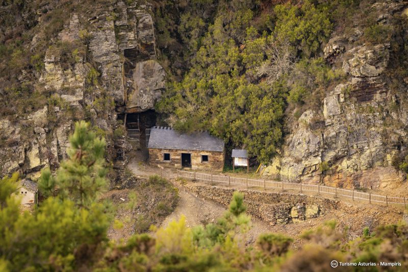
San Martín de Oscos Mining Route
- San Martín de Oscos
 30,618 Km
Download the route in PDF and KML and follow the route with your mountain bike or MTB. With different levels of difficulty, duration, slope and length. If you don’t have a bike you can rent one.
-
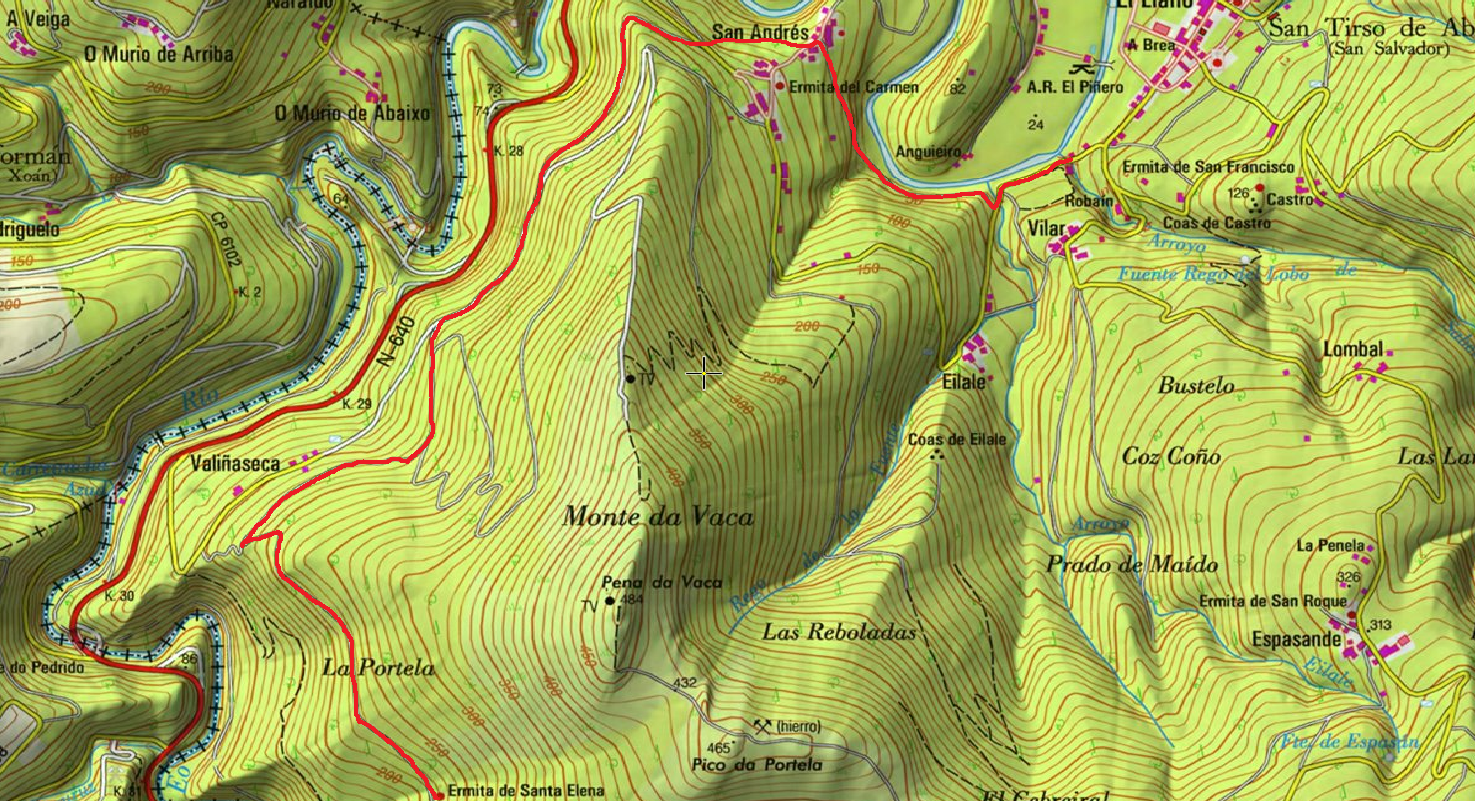
Ruta de los Pañeiros
- San Tirso de Abres
- 6 km (solo ida)
 2 horas
 Baja
Antiguo Camino de Santiago que acogía a los romeros llegados por la Ría del Eo.
-
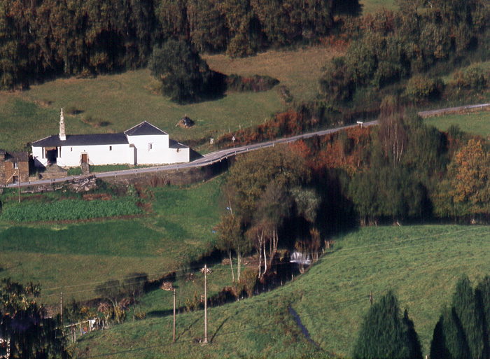
Forest Route
- Villanueva de Oscos
- 8 km
- 2 hours and 45 minutes
- Download
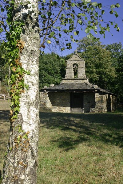
The route starts in Villanueva, capital of the council, from where we leave in the direction of Santa Eufemia where there is still a beautiful chapel of popular baroque style built between the seventeenth and eighteenth centuries that deserves to be visited. Continuing the itinerary along the road and after about three hundred meters of walking, we reach the Castañeira Bridge, and after crossing it we must take a path that goes off to the right, reaching a splendid birch forest next to the abandoned farmhouse of Abilleira.
-
Mount Marón and Ascuita route
- San Martín de Oscos
- 9 km
- 2 hours
- Download
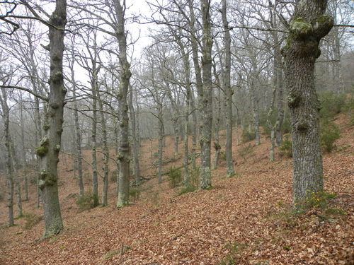
We begin the route in San Martín de Oscos where we can see the parish church, with a Latin cross plan, large porticoed space and inscription of 1828. To the right of the facade we observe one of the most characteristic hórreos of the Oscos with a mixed roof (slate and straw), which corresponds to the primitive models. In front of the church we have the mansion of the Guzmanes, an old manor house of the XVIII century, which preserves in the portico of its main entrance a coat of arms carved in stone. We cross the bridge that crosses the San Martín river to begin the ascent to Mount Marón, entering a small forest of birch and oak trees, which make our walk even more pleasant.
-
As Carballeiras Green Trail
- Santa Eulalia de Oscos
- 4.5 km
- 1 hour 20 minutes
- Download
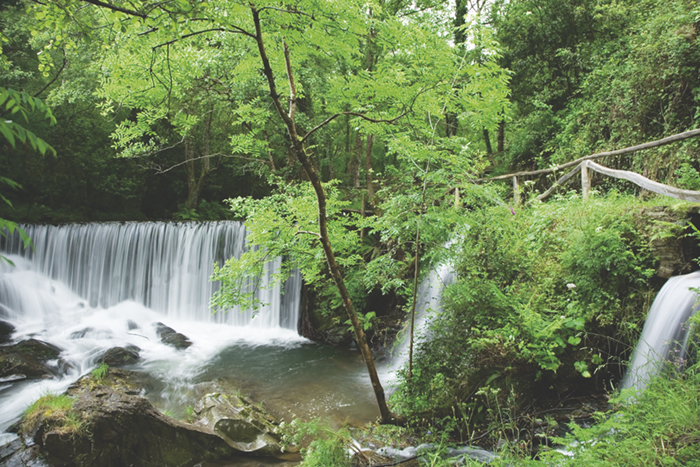
This route starts at the Nature Interpretation Center, in the center of Santa Eulalia de Oscos.
-
Route of the Mazo de Meredo
- Vegadeo
- 13 km
- 4 hours
- half
The route starts in Piantón, a charming village that was once the capital of the council, located about two kilometers from Vegadeo in which we recommend a walk around the square and a visit to the church. We cross the so-called Roman Bridge and take the path to the left towards Arcilo. The path begins with a slight ascent through a deep eucalyptus forest mixed with remnants of native vegetation: chestnut, holly, laurel, … fed by numerous streams.


