
A Pena do Encanto Route
- San Tirso de Abres
- Circular route
- 4 km
- 1 hour and 20 minutes
- Download
From the municipal capital we go to the exit of the town towards Galicia, finding ourselves on the right hand side with the San Isidro square in whose center is the chapel with the same name, coinciding with the starting point of the route.
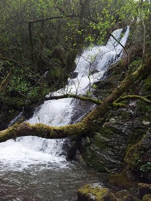
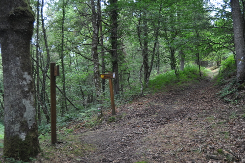
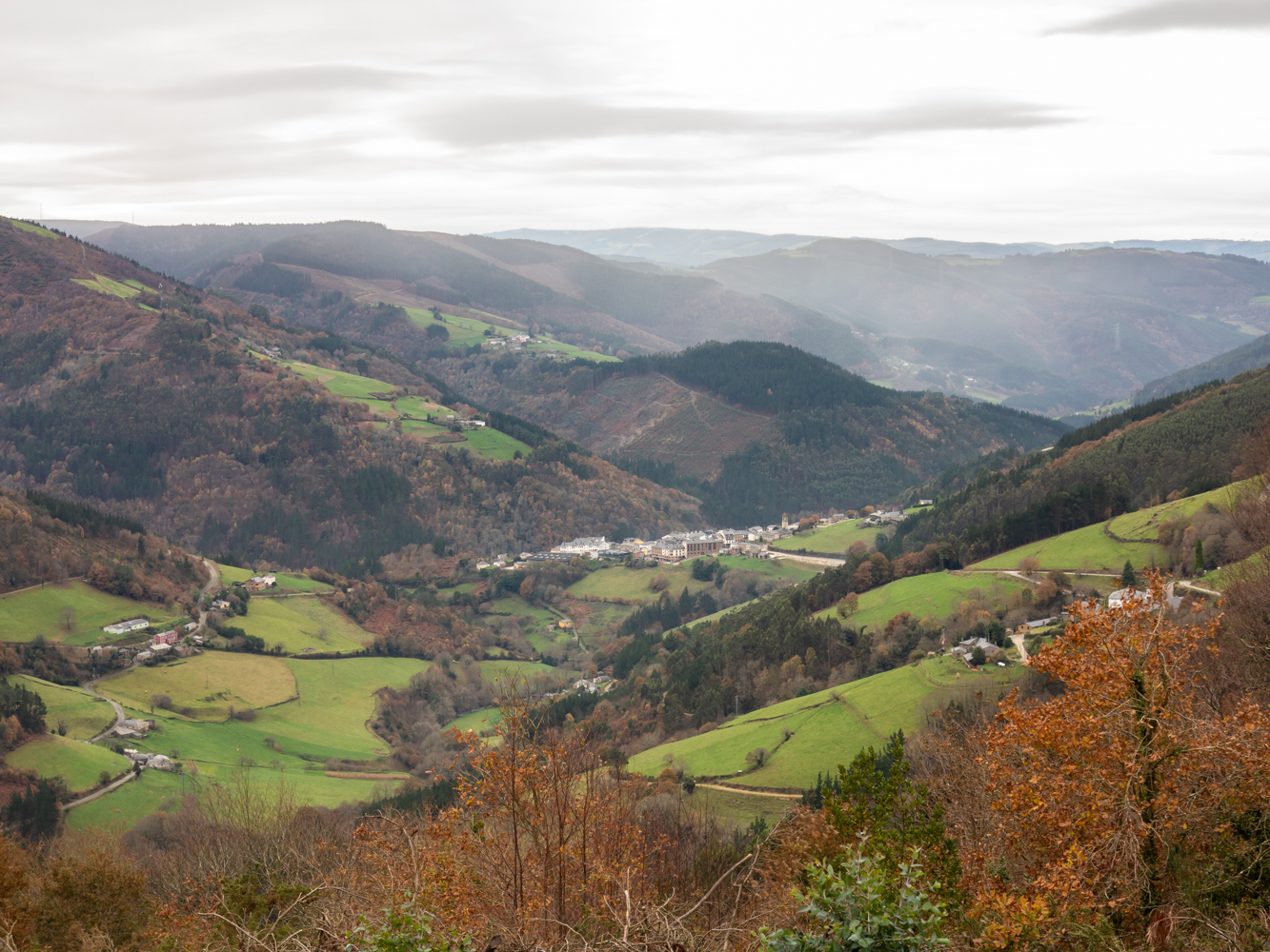
We will follow the asphalt road to Vilela de Abajo stretch in which we will observe the municipal capital in the area known as El Llano, seated on a valley surrounded by gentle mountains, crossed from SW to NW by the course of the river Eo, riverbed around which the history and life of the municipality has developed. Already in Vilela we will turn left to enter a dirt track surrounded by forest that brings us closer to the stream of Ramalledo, responsible for watering numerous forests of native flora that settle along its course. Once we go up the stream we reach the area known as Pena do Encanto where a mysterious waterfall flows between water and stone, where the legend of an enchanted lady who comes out of the rock with a golden comb every night of San Juan to bewitch whoever sees her still beats. From this place we start the way back on our steps, arriving at a crossroads where we must turn right to start a slight ascent to Vilela de Arriba, a village through which we must pass before arriving back to the starting point.
Hiking trails
-
As Zarras Route
- Villanueva de Oscos
 3.5 km
 1 hour and 50 minutes
 Download
The route begins in Santa Eufemia, shortly after passing the Ecomuseo del Pan in the direction of Pacios. We enter a small path through a native forest populated by oak, birch, holly and chestnut trees.
-
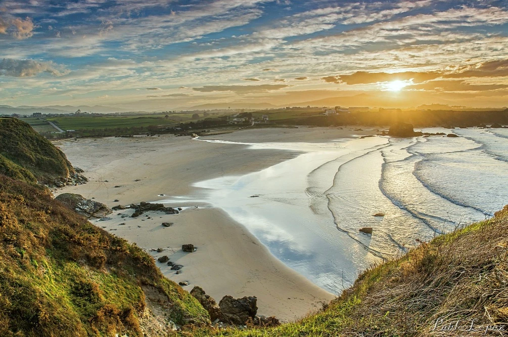
Coastal Path Tapia – Figueras
- Castropol
- 14 km
- 4 hours
- Download
In our region the route starts at Penarronda beach, declared a natural monument for its high environmental values, a beach that holds the blue flag and where you can not miss a good swim.
-
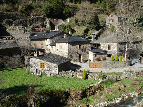
Water Route
- Taramundi
- 14 km
- 4 hours and 30 minutes
- Download
Its fourteen kilometers allow us to enjoy the water and its use for centuries in the rural environment. From the lower part of Taramundi we take a road that leads us to Mazonovo, where we can visit the Museum of Mills.
-
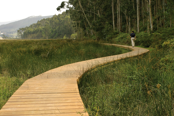
Eo estuary path
- Vegadeo
- 4.58 km
- 1 hour and a half
- Download
The route starts in the center of Vegadeo in the area known as the Fondrigo, located at the exit to Galicia. From here we start the ascent to Miou, where we will find a crossroads where the path forks and we can go on either side, since from this point the route is circular.
-
Taramundi – Vegadeo route through the Eiros Mountain Range
- Taramundi
Download the route in PDF and KML and follow the route with your mountain bike or MTB.
-
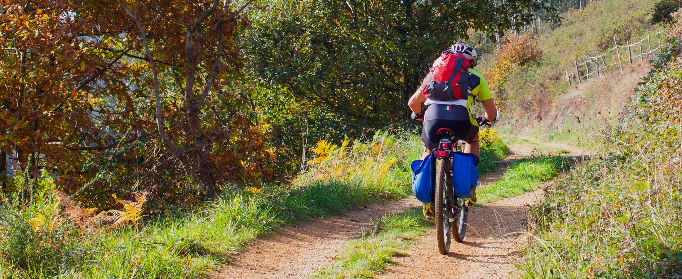
San Tirso de Abres – Vegadeo Route
- San Tirso de Abres
Download the route in PDF and KML and follow the route with your mountain bike or MTB.