
As Carballeiras Green Trail
- Santa Eulalia de Oscos
- Circular route
- 4.5 km
- 1 hour 20 minutes
- Download
This route starts at the Nature Interpretation Center, in the center of Santa Eulalia de Oscos.
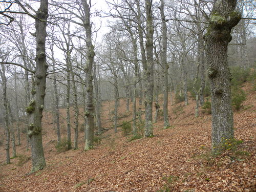
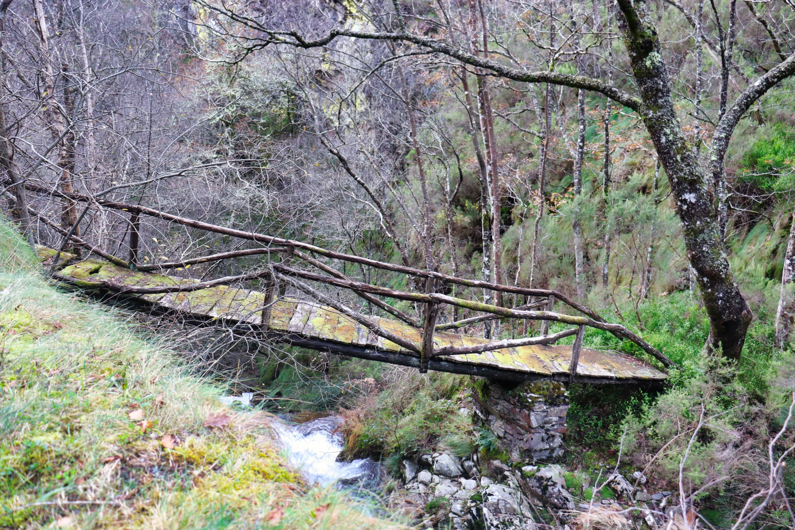
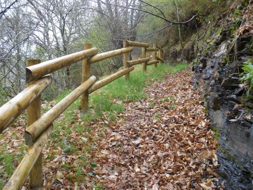
After visiting the center observing the educational material that shows us the richness in flora, fauna and ethnography of the area, we can complement our information with a tour of the path that will help us to identify in a short time the different ecosystems and forests of the region. After a few meters we enter a characteristic mixed deciduous forest in which we find, among other species, oak, chestnut, birch and hazelnut trees. In the upper part of the forest gradually opens up and almost without noticing we are surrounded by scrub (heather, gorse, ferns and broom) that allows us a wide panoramic view overlooking the valley of the river Agüeira, which crosses the municipality in a NW-SE direction and the highest and most humanized areas of the municipality. In the descent to Pumares we pass by several meadows where it will not be difficult to see cows grazing accompanied by their young, meadows watered by the river Agüeira, which also feeds another characteristic type of forest, the riparian, which has a wide wealth and biodiversity formed by species such as alder, ash, willow or hazel. From Pumares we will return by our tracks to the crossroads, where we turn right and return to Santa Eulalia.
Hiking trails
-
Ruta de los Pañeiros
- San Tirso de Abres
 6 km (solo ida)
 2 horas
 Baja
Baja
Antiguo Camino de Santiago que acogía a los romeros llegados por la Ría del Eo.
-
Railroad Route
- San Tirso de Abres
- 15 km
- 5 hours
- Download
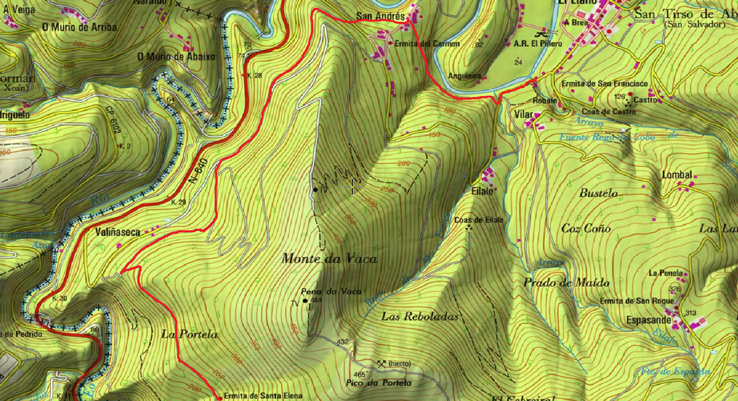
We start the walk in the old station of San Tirso de Abres, today restored for private housing, finding the first of the six tunnels just 300 m away, continuing next to the river Eo enjoying every moment of great panoramic views of the riverbed, of incalculable ecological and fish value, in which abound a large number of aquatic species, the most characteristic being trout, lamprey and salmon. Later the path crosses the N-640 road and leads us to an old power station built in 1932, located just before crossing another of the tunnels drilled in the rock, which leaves us close to the pedestrian walkway over the river Eo.
-
Cascada del Cioyo
- Castropol
- 3 km
- 1 - 2 horas
- Media
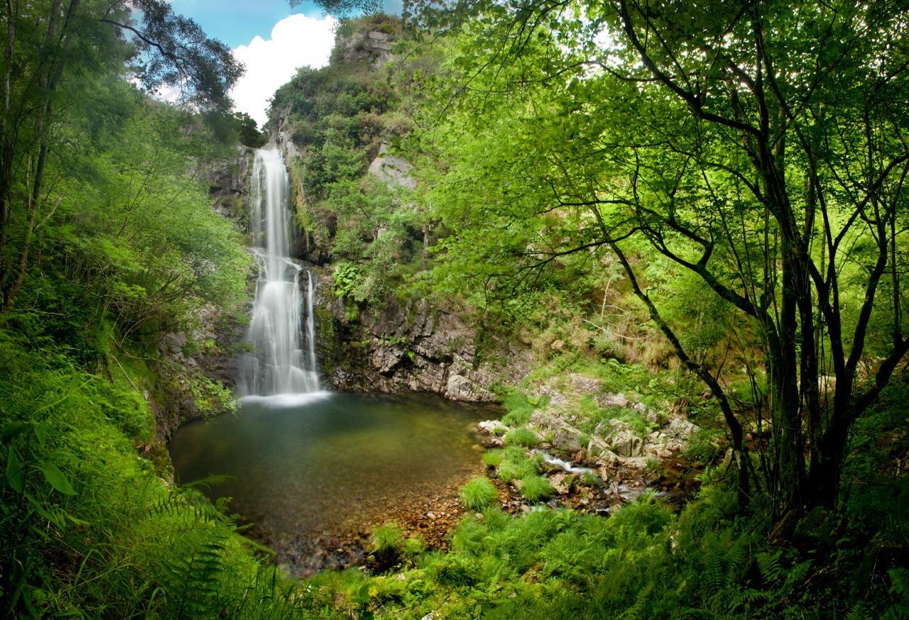
Escondida entre montañas y bosques del occidente asturiano, la Cascada del Cioyo es uno de esos lugares que parecen sacados de un cuento. El sonido del agua al caer, la vegetación exuberante que la rodea y la paz del entorno hacen de este rincón un destino ideal para quienes buscan conectar con la naturaleza. Una caminata entre árboles, pequeñas cascadas y paisajes que invitan a parar y respirar. Al final del recorrido, la gran cascada del Cioyo se abre paso con fuerza entre la roca, regalando una imagen de belleza salvaje difícil de olvidar.
-
Ruta del Esqueicer
- Santa Eulalia de Oscos
- 8,6 Km
- 3 horas
- Media
La ruta arranca en una curva situada entre el puente y la aldea de Sualleiro, justo al lado de los apartamentos que llevan ese mismo nombre. Inaugurada en agosto de 2020, se presenta bien cuidada y correctamente señalizada con flechas pintadas en árboles y piedras.
-
Agüeira Green Path
- Villanueva de Oscos
- 14 km
- 5 h
- Media
The route is made up of two circular sections starting and ending in the center of Villanueva. The longer one, about 12 km, coincides in part with the forest route.
-
As Minas Greenway
- Vegadeo
- 13 km
- 4 hours
- Media
The route starts in the town of A Espía (Vegadeo) and is accessed through the AS-11 road that connects Vegadeo with Los Oscos.