


Railroad Route
- San Tirso de Abres
- Linear route
- 15 km
- 5 hours
- Download
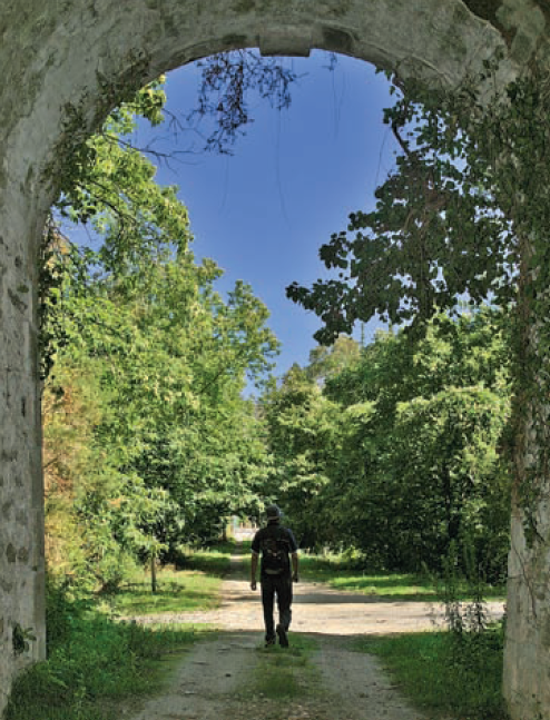
We start the walk in the old station of San Tirso de Abres, today restored for private housing, finding the first of the six tunnels just 300 m away, continuing next to the river Eo enjoying every moment of great panoramic views of the riverbed, of incalculable ecological and fish value, in which abound a large number of aquatic species, the most characteristic being trout, lamprey and salmon. Later the path crosses the N-640 road and leads us to an old power station built in 1932, located just before crossing another of the tunnels drilled in the rock, which leaves us close to the pedestrian walkway over the river Eo.
Shortly after the last tunnel we find some small masonry buildings “casetos”, with slate gable roof that served to house the coal used by the railroad. Following the route we reach the point where Galicia and Asturias come together, on the stream of O Cairo that acts as a natural divide. At this point the Asturian part of the route ends and we can choose to turn back or continue for 6 km. on asphalt until we reach the village of A Pontenova (Lugo), where four calcination furnaces that served to transform the ore transported by the railroad stand.
Hiking trails
-
Eo estuary path
- Vegadeo
 4.58 km
 1 hour and a half
 Download
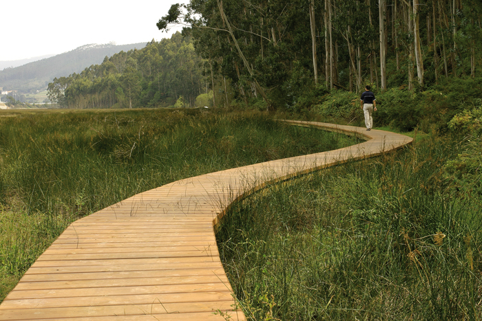
The route starts in the center of Vegadeo in the area known as the Fondrigo, located at the exit to Galicia. From here we start the ascent to Miou, where we will find a crossroads where the path forks and we can go on either side, since from this point the route is circular.
-
Castropol-Figueras coastal walk
- Castropol
- 8 km round trip
- 2 hours
- Download
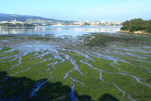
The trail starts at the entrance of the village, where we will find a suitable place to leave the car. After a few meters we will find an information panel that will give us a general idea of the itinerary.
-
Mount Marón and Ascuita route
- San Martín de Oscos
- 9 km
- 2 hours
- Download
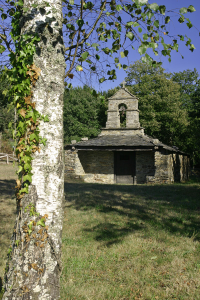
We begin the route in San Martín de Oscos where we can see the parish church, with a Latin cross plan, large porticoed space and inscription of 1828. To the right of the facade we observe one of the most characteristic hórreos of the Oscos with a mixed roof (slate and straw), which corresponds to the primitive models. In front of the church we have the mansion of the Guzmanes, an old manor house of the XVIII century, which preserves in the portico of its main entrance a coat of arms carved in stone. We cross the bridge that crosses the San Martín river to begin the ascent to Mount Marón, entering a small forest of birch and oak trees, which make our walk even more pleasant.
-
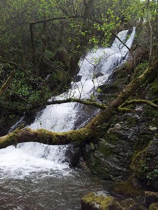
A Pena do Encanto Route
- San Tirso de Abres
- 4 km
- 1 hour and 20 minutes
- Download
From the municipal capital we go to the exit of the town towards Galicia, finding ourselves on the right hand side with the San Isidro square in whose center is the chapel with the same name, coinciding with the starting point of the route.
-
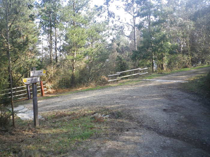
As Minas Greenway
- Vegadeo
- 13 km
- 4 hours
- Media
The route starts in the town of A Espía (Vegadeo) and is accessed through the AS-11 road that connects Vegadeo with Los Oscos.
-
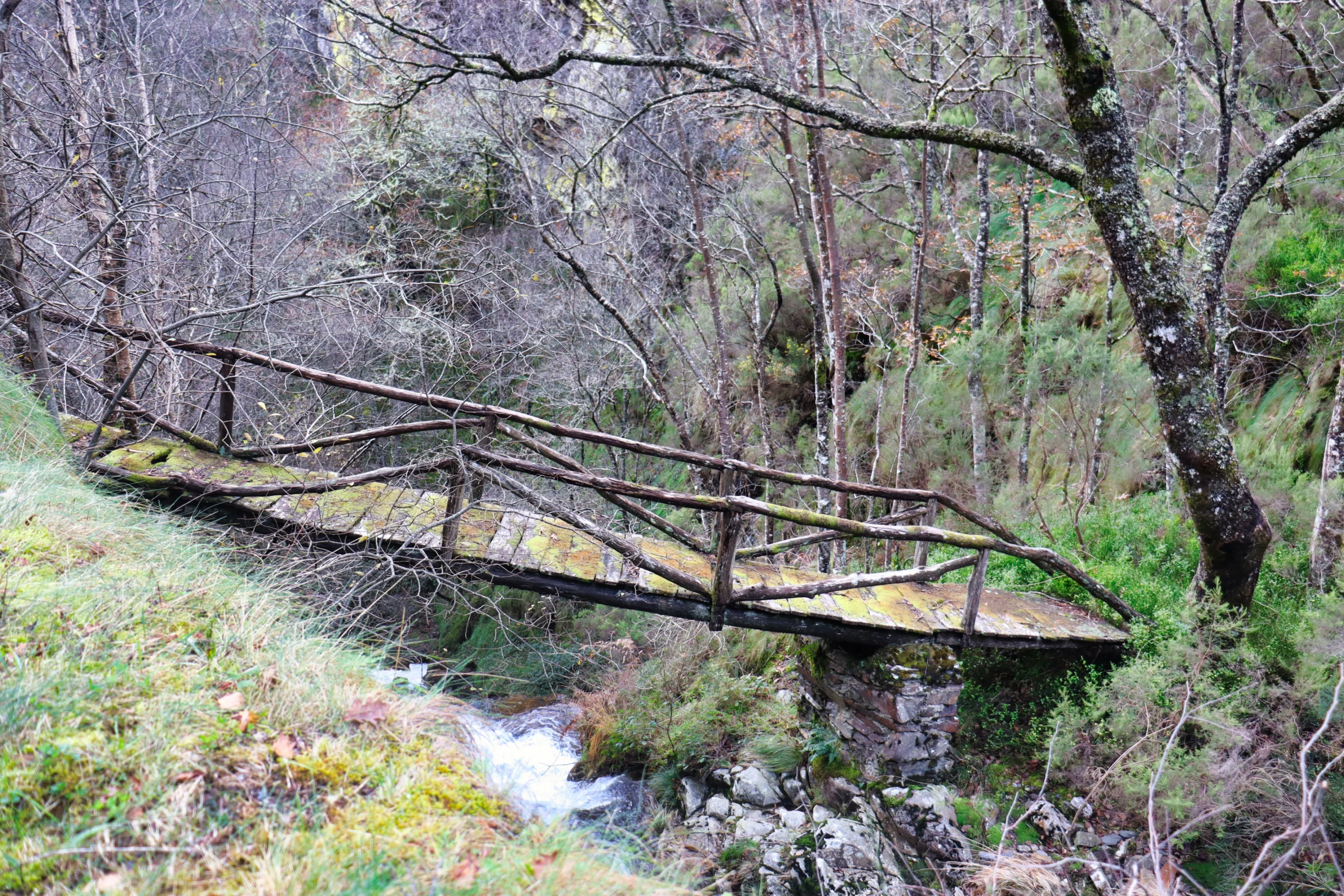
Ruta del Esqueicer
- Santa Eulalia de Oscos
- 8,6 Km
- 3 horas
- Media
La ruta arranca en una curva situada entre el puente y la aldea de Sualleiro, justo al lado de los apartamentos que llevan ese mismo nombre. Inaugurada en agosto de 2020, se presenta bien cuidada y correctamente señalizada con flechas pintadas en árboles y piedras.


