


Route of the “Estraperlo
- Vegadeo
- Circular route
- 8.2 km
- 2 hours and 30 minutes
- Download
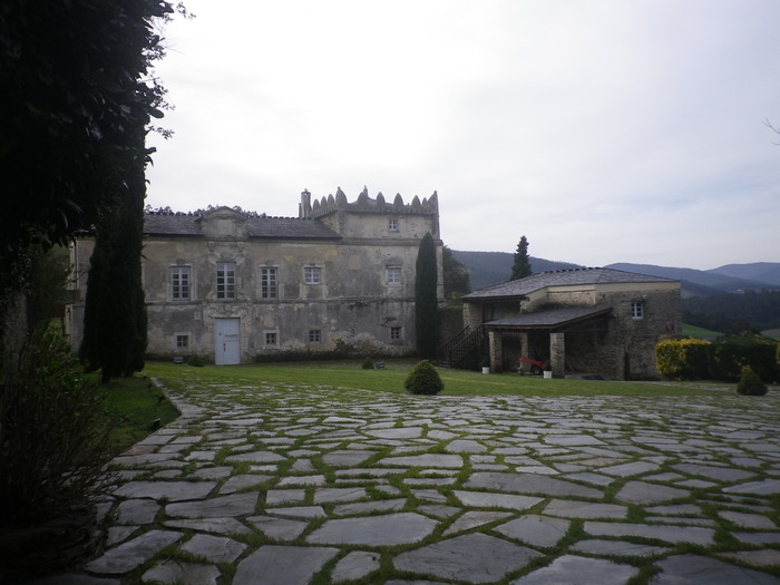
The route begins in Louteiro, which is accessed after taking a detour to the left shortly before leaving Vegadeo in the direction of Galicia. From the chapel of this village begins the route once used by pilgrims and pilgrims on pilgrimage to Santiago de Compostela, who avoided the main roads to pass products from Galicia to Asturias.
This is a route that runs along the banks of the Eo, through which we can see the fauna and flora of the estuary. In Abres there are still wharfs that were witnesses of the seafaring vitality of the estuary in the past. From the top of the hill, the Pividal Palace, an excellent example of local baroque built in 1674, guards the village and contemplates the passage of the Eo. Leaving Abres, we start a small ascent through Grandamiá until we reach the Sela de Murias, where we can visit the ruins of an old inn used as a resting and provisioning place by pilgrims and “arrieiros”, who, accompanied by their pack animals or ox carts, transported all kinds of goods. In its final stretch to Louteiro, the route runs immersed in a thick forest where we can find oak, chestnut, eucalyptus, … accompanied by abundant herbaceous and shrubby vegetation that covers the ground as a mosaic showing a variety of green tones.
Hiking trails
-
Ruta Os Cortíos
- Santa Eulalia de Oscos
 8,47 km
 4 horas
 Baja
Baja
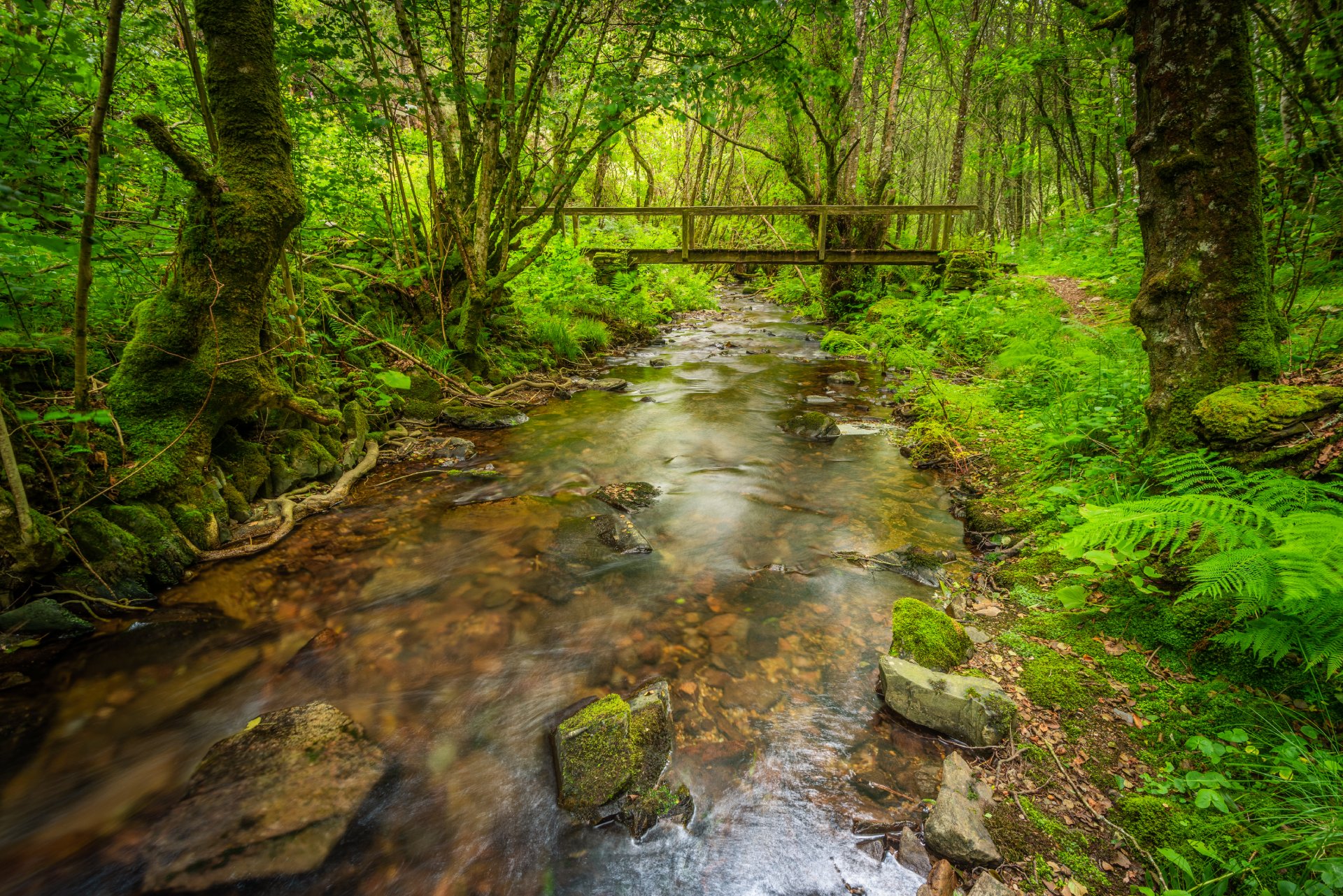
Esta ruta comienza en Barcia (Asturias) donde disponemos de un aparcamiento público para dejar nuestro coche a escasos metros del inicio.
-
Ruta Piorno a os Fornos
- San Martín de Oscos
- 5,5 km
- 2h 30m
- Baja
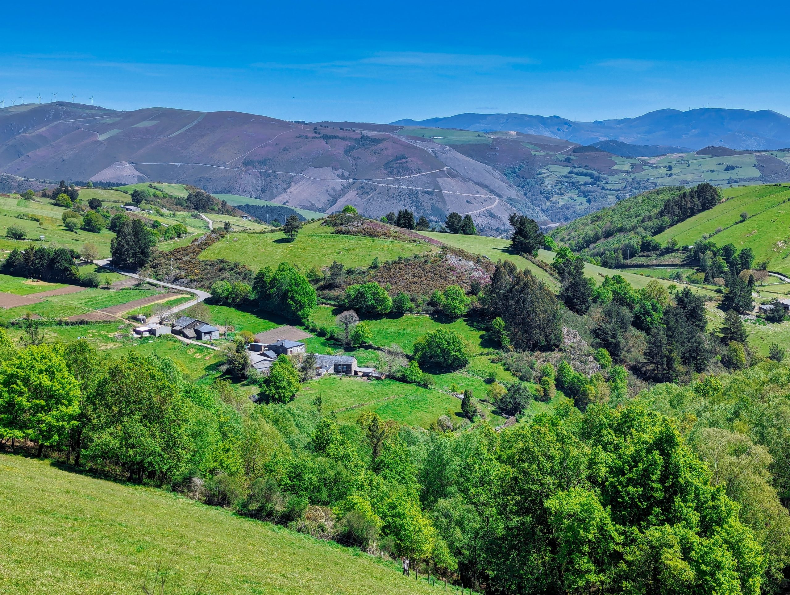
Iniciamos la ruta en el pueblo de Piorno, que se recomienda recorrer porque conserva excelentes muestras de arquitectura tradicional de los Oscos en piedra, pizarra y madera.
-
Railroad Route
- San Tirso de Abres
- 15 km
- 5 hours
- Download
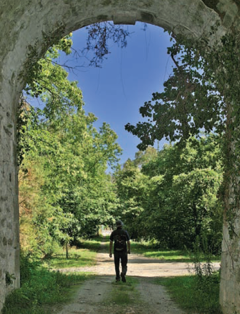
We start the walk in the old station of San Tirso de Abres, today restored for private housing, finding the first of the six tunnels just 300 m away, continuing next to the river Eo enjoying every moment of great panoramic views of the riverbed, of incalculable ecological and fish value, in which abound a large number of aquatic species, the most characteristic being trout, lamprey and salmon. Later the path crosses the N-640 road and leads us to an old power station built in 1932, located just before crossing another of the tunnels drilled in the rock, which leaves us close to the pedestrian walkway over the river Eo.
-
Agüeira Green Path
- Villanueva de Oscos
- 14 km
- 5 h
- Media
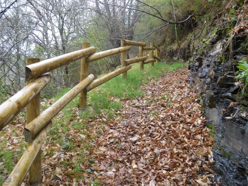
The route is made up of two circular sections starting and ending in the center of Villanueva. The longer one, about 12 km, coincides in part with the forest route.
-
Carbayal de Salgueiras Route
- Villanueva de Oscos
- 7 km
- 2 hours
- Download
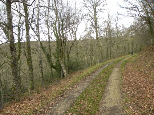
The itinerary begins next to the chapel of Salgueiras, located on the AS-27 road, 6 kilometers from Villanueva. Throughout the tour we must observe the environment around us: the houses, their attached buildings, orchards, meadows, farm implements, forests, to understand the way of life of the locals.
-
As Minas Greenway
- Vegadeo
- 13 km
- 4 hours
- Media
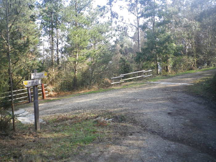
The route starts in the town of A Espía (Vegadeo) and is accessed through the AS-11 road that connects Vegadeo with Los Oscos.


