
Agüeira Green Path
- Villanueva de Oscos
- Circular
- 14 km
- 5 h
- Media
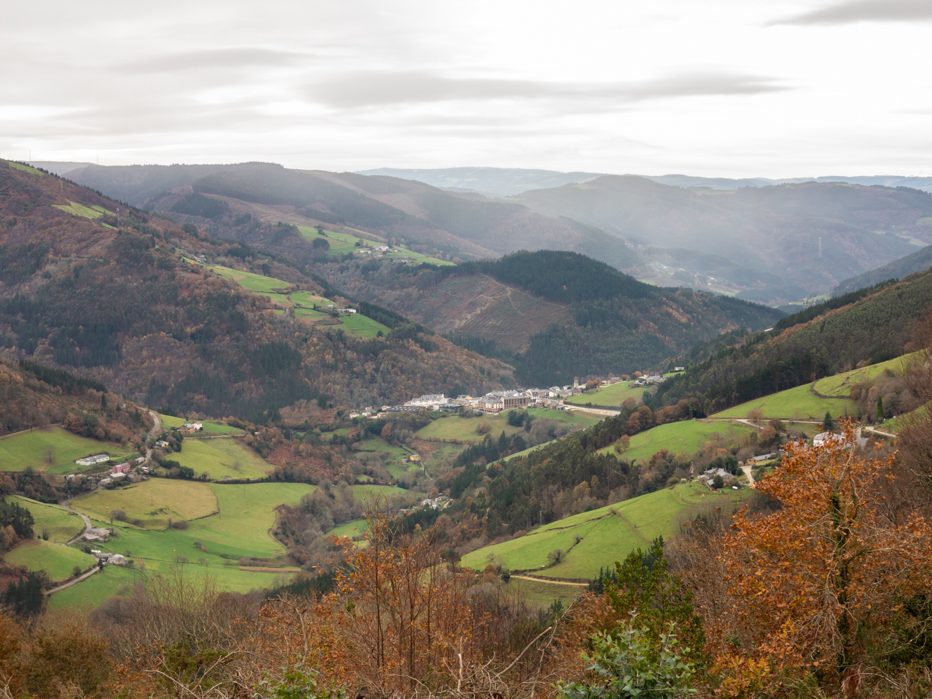
The route is made up of two circular sections starting and ending in the center of Villanueva. The longer one, about 12 km, coincides in part with the forest route.
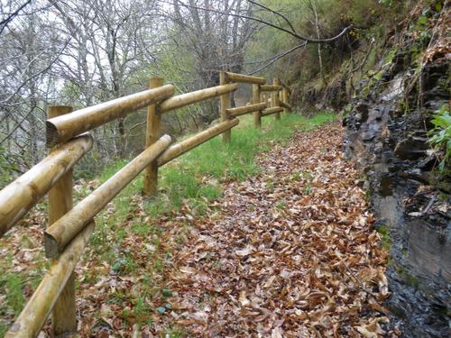
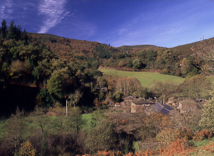
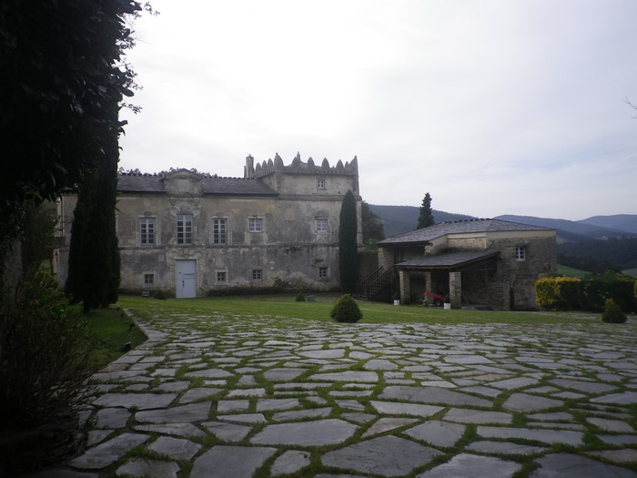
The itinerary begins near the Town Hall, along a path that leaves the village towards the cemetery of the town, we continue towards the houses of El Río and arrive at Santa Eufemia, where we can make a stop to visit the Ecomuseum of Bread or rest in the recreational area. At this point begins the ascent to El Vale and Pena Grande through a native forest where we will enjoy the shade of birch, oak and holly trees. We continue towards the brañas of Lama, Chao de Bureiros and A Folgueirúa enjoying the magnificent views from the top. We descend the mountainside crossing the streams Morán, Ceilán and Vilanova river. On the verge of reaching the latter we can not fail to delight us with the contemplation of a magnificent cortín that gives us an idea of the importance that since ancient times had in the area the production of honey and wax. In San Mamed we are greeted by a charming wash house that invites us to stop and enjoy the magnificent examples of stone architecture. We cross the road and continue along the mountainside until we reach the village of Pacios, whose splendid architecture also deserves our attention. We continue through the oak grove of Pacios until we reach the road again, we continue along the road to Santa Eufemia and from here along the cemetery road to Villanueva. The short section, about 2 km long, begins next to the monastery of Santa María, ascending to Ovellariza and descending through a native forest towards the Riodepil stream, which we cross over a wooden footbridge, continue towards the Guieiro neighborhood and descend again towards Villanueva.
Hiking trails
-
Taramundi – Vegadeo route through the Eiros Mountain Range
- Taramundi
Download the route in PDF and KML and follow the route with your mountain bike or MTB.
-
Forcón de los Ríos Route
- Santa Eulalia de Oscos
 13.3 km
 4 hours
 Media
Media
Route of nature and ethnography that begins next to the house of culture in Santa Eulalia de Oscos.
-
Carbayal de Salgueiras Route
- Villanueva de Oscos
- 7 km
- 2 hours
- Download
The itinerary begins next to the chapel of Salgueiras, located on the AS-27 road, 6 kilometers from Villanueva. Throughout the tour we must observe the environment around us: the houses, their attached buildings, orchards, meadows, farm implements, forests, to understand the way of life of the locals.
-
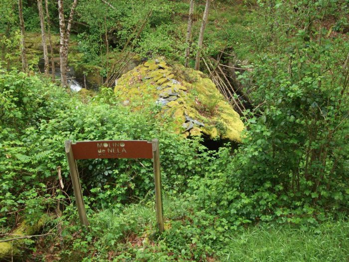
Route of the Mills
- Taramundi
- 10.7 km
- 4 hours
- Download
The route begins in the upper part of the village of Bres through a wide dirt road that leads to the Guxo mill, in excellent condition and also has in its vicinity a mini power plant.
-
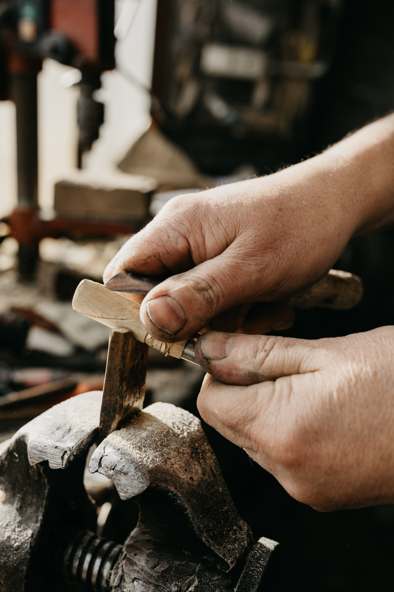
Ruta de los Ferreiros
- Taramundi
- 8 Km
- 2h 30m
- Baja
La Ruta de Os Ferreiros es un recorrido circular que invita a descubrir la esencia de Taramundi a través de su paisaje, su historia y sus oficios tradicionales. Un paseo accesible y lleno de encanto, perfecto para disfrutar de la naturaleza y el patrimonio cultural del concejo.
-
Route of the “Estraperlo
- Vegadeo
- 8.2 km
- 2 hours and 30 minutes
- Download
The route begins in Louteiro, which is accessed after taking a detour to the left shortly before leaving Vegadeo in the direction of Galicia. From the chapel of this village begins the route once used by pilgrims and pilgrims on pilgrimage to Santiago de Compostela, who avoided the main roads to pass products from Galicia to Asturias.