
Carbayal de Salgueiras Route
- Villanueva de Oscos
- Circular route
- 7 km
- 2 hours
- Download
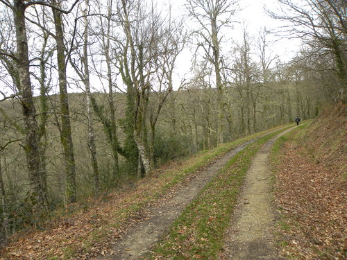
The itinerary begins next to the chapel of Salgueiras, located on the AS-27 road, 6 kilometers from Villanueva. Throughout the tour we must observe the environment around us: the houses, their attached buildings, orchards, meadows, farm implements, forests, to understand the way of life of the locals.
The route enters one of the best oak forests (Carbayo) in pure state of Asturias in which there are specimens of great size and shape. A few meters ahead we find an area of scrubland in which there are several types of heather characteristic of the region, as well as brooms and gorse with their typical colors that give good evidence of the time of year in which we are. Already in Xestoso and with similar characteristics to Salgueiras we begin a slight descent that takes us back into an impressive oak forest dotted with small groves of birch and chestnut trees, reaching the stream of Xestoso in which we can find a good example of riparian forest formed by alders, ashes and willows. With the help of a small wooden bridge we cross the stream and begin the ascent towards Salqueiras passing close to several farmhouses surrounded by their farms to finally reach the starting point.
Hiking trails
-
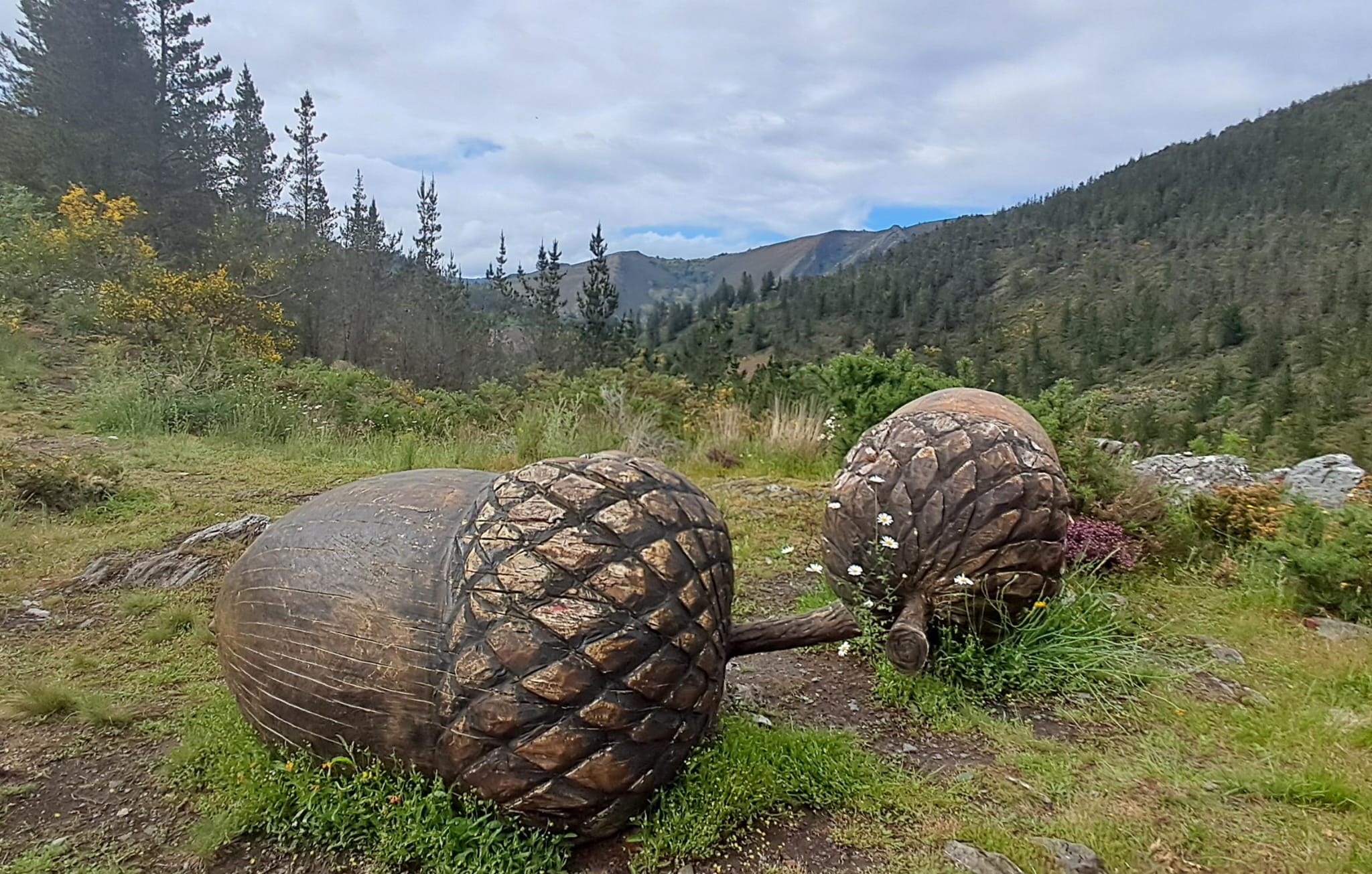
Ruta con Arte
- Santa Eulalia de Oscos
 10,9 km
 4 horas
 Baja
Baja
Este proyecto pionero e inédito, pretende impulsar y enriquecer Los Oscos a través de la vertebración artística, ofreciendo una conexión entre artistas, visitantes, naturaleza y tradición. Resaltando la belleza, cultura y tradición de los Oscos. Para ello se ha elegido una ruta circular de 10 Km. Dicha ruta comienza y termina en Santa Eulalia de Oscos.
-
Route of the Mazo de Meredo
- Vegadeo
- 13 km
- 4 hours
- half
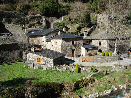
The route starts in Piantón, a charming village that was once the capital of the council, located about two kilometers from Vegadeo in which we recommend a walk around the square and a visit to the church. We cross the so-called Roman Bridge and take the path to the left towards Arcilo. The path begins with a slight ascent through a deep eucalyptus forest mixed with remnants of native vegetation: chestnut, holly, laurel, … fed by numerous streams.
-
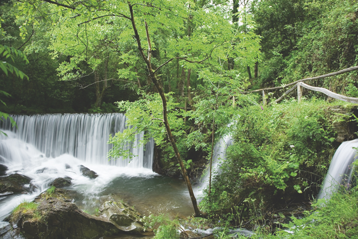
Water Route
- Taramundi
- 14 km
- 4 hours and 30 minutes
- Download
Its fourteen kilometers allow us to enjoy the water and its use for centuries in the rural environment. From the lower part of Taramundi we take a road that leads us to Mazonovo, where we can visit the Museum of Mills.
-
Route of the “Estraperlo
- Vegadeo
- 8.2 km
- 2 hours and 30 minutes
- Download
The route begins in Louteiro, which is accessed after taking a detour to the left shortly before leaving Vegadeo in the direction of Galicia. From the chapel of this village begins the route once used by pilgrims and pilgrims on pilgrimage to Santiago de Compostela, who avoided the main roads to pass products from Galicia to Asturias.
-
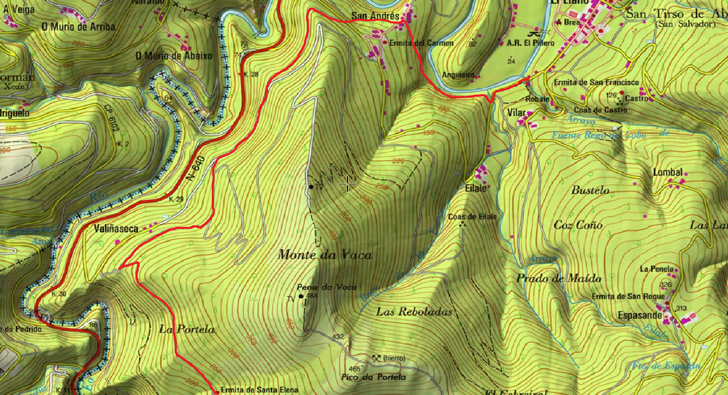
Ruta de los Pañeiros
- San Tirso de Abres
- 6 km (solo ida)
- 2 horas
- Baja
Antiguo Camino de Santiago que acogía a los romeros llegados por la Ría del Eo.
-
As Minas Greenway
- Vegadeo
- 13 km
- 4 hours
- Media
The route starts in the town of A Espía (Vegadeo) and is accessed through the AS-11 road that connects Vegadeo with Los Oscos.