
Mount Marón and Ascuita route
- San Martín de Oscos
- Circular route
- 9 km
- 2 hours
- Download
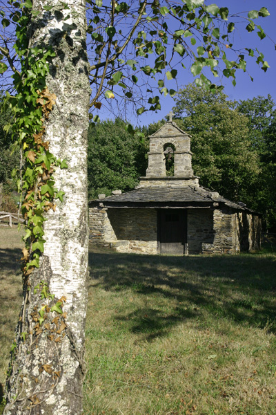
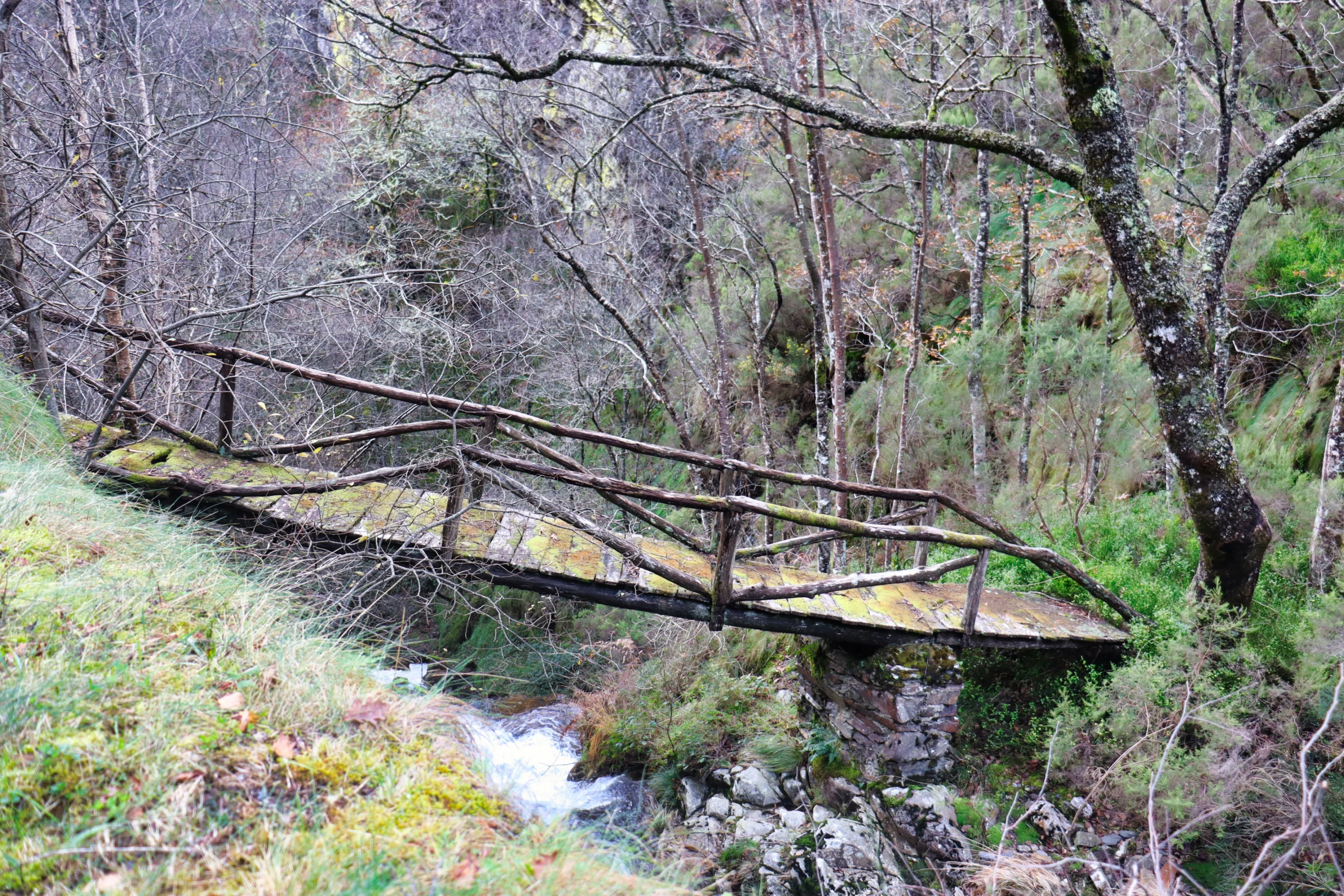
We begin the route in San Martín de Oscos where we can see the parish church, with a Latin cross plan, large porticoed space and inscription of 1828. To the right of the facade we observe one of the most characteristic hórreos of the Oscos with a mixed roof (slate and straw), which corresponds to the primitive models. In front of the church we have the mansion of the Guzmanes, an old manor house of the XVIII century, which preserves in the portico of its main entrance a coat of arms carved in stone. We cross the bridge that crosses the San Martín river to begin the ascent to Mount Marón, entering a small forest of birch and oak trees, which make our walk even more pleasant.
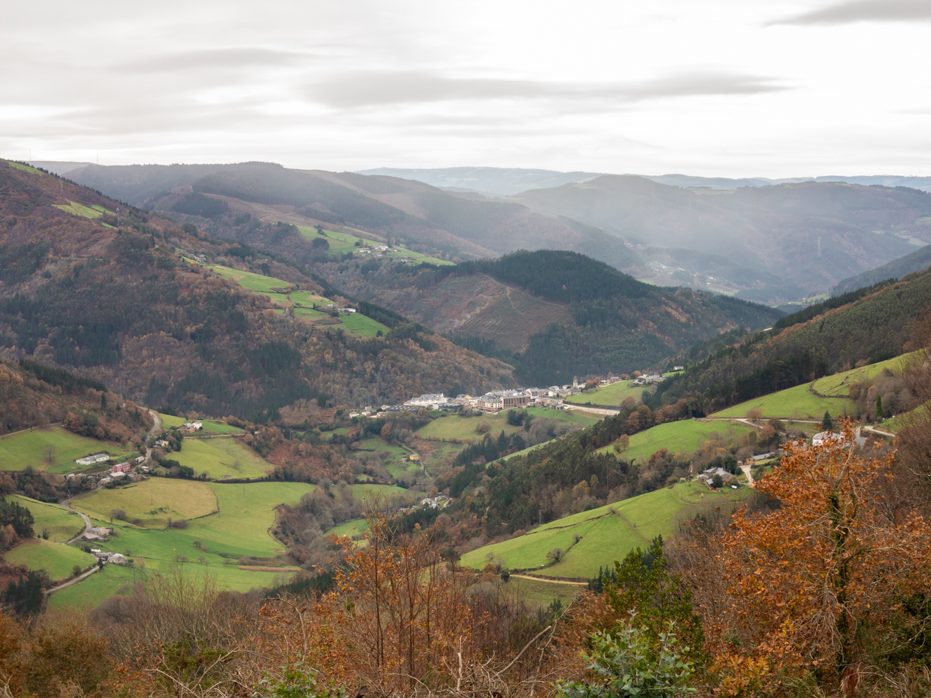
Already at the top of the summit (897 m) we can see most of the council of San Martin, as well as other neighboring: Santa Eulalia, Illano, Grandas de Salime, Pesoz and A Fonsagrada. After delighting ourselves with this view of distant horizons we descend through a pine forest, meeting the access road to Ascuita. After 1.25 km we reach this small village, once very busy because it was on the road between San Martín and Santa Eulalia. We return to the main road and head towards Vilarín de Trasmonte, passing by the hermitage of Santa Engracia. Currently this route is connected with a section of the Las Minas route, exactly with the one that leads to the Carmina Mine. At a given moment, the signage will warn the hiker of this circumstance. The return to San Martín will be by road.
Hiking trails
-
Taramundi – Vegadeo route through the Eiros Mountain Range
- Taramundi
Download the route in PDF and KML and follow the route with your mountain bike or MTB.
-
Ruta Piorno a os Fornos
- San Martín de Oscos
 5,5 km
 2h 30m
 Baja
Baja
Iniciamos la ruta en el pueblo de Piorno, que se recomienda recorrer porque conserva excelentes muestras de arquitectura tradicional de los Oscos en piedra, pizarra y madera.
-
A Mina de As Talladas Route
- Santa Eulalia de Oscos
- 12 km
- 3 hours and 45 minutes
- High average
The route starts in the square of Sta. Eulalia de Oscos descending to the lower part of the village and continuing along a beautiful path surrounded by native forest that leads us to Ferreirela de Baxo, a place where it is worth stopping and visiting the Museo Casa Natal del Marqués de Sargadelos.
-
Ruta del Esqueicer
- Santa Eulalia de Oscos
- 8,6 Km
- 3 horas
- Media
La ruta arranca en una curva situada entre el puente y la aldea de Sualleiro, justo al lado de los apartamentos que llevan ese mismo nombre. Inaugurada en agosto de 2020, se presenta bien cuidada y correctamente señalizada con flechas pintadas en árboles y piedras.
-
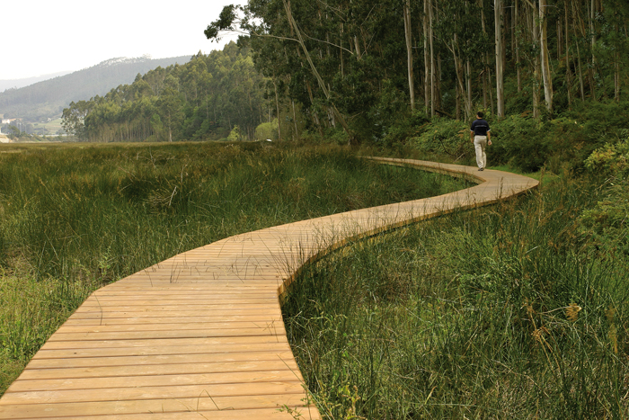
Eo estuary path
- Vegadeo
- 4.58 km
- 1 hour and a half
- Download
The route starts in the center of Vegadeo in the area known as the Fondrigo, located at the exit to Galicia. From here we start the ascent to Miou, where we will find a crossroads where the path forks and we can go on either side, since from this point the route is circular.
-
As Zarras Route
- Villanueva de Oscos
- 3.5 km
- 1 hour and 50 minutes
- Download
The route begins in Santa Eufemia, shortly after passing the Ecomuseo del Pan in the direction of Pacios. We enter a small path through a native forest populated by oak, birch, holly and chestnut trees.