
As Minas Greenway
- Vegadeo
- Circular route
- 13 km
- 4 hours
- Media
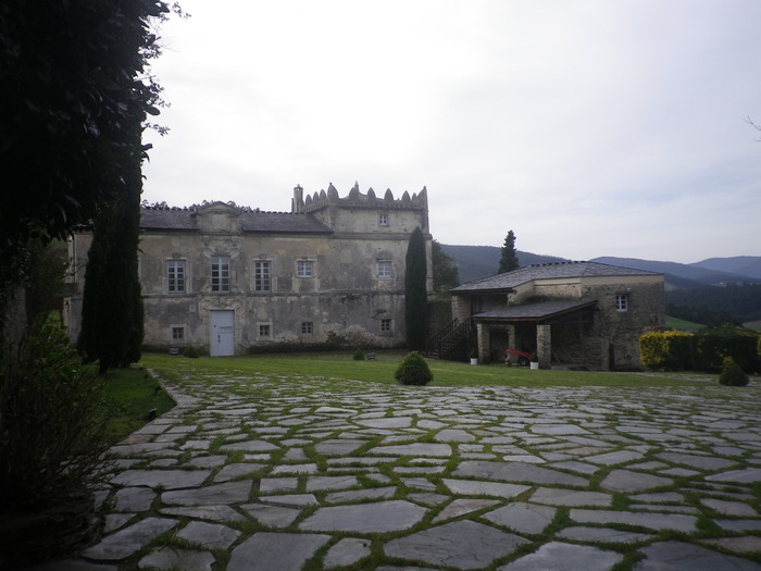
The route starts in the town of A Espía (Vegadeo) and is accessed through the AS-11 road that connects Vegadeo with Los Oscos.
The trail consists of a circular section of about 8.7 km long, with an estimated travel time of 2 hours and a half, and a linear route, optional, of 4.3 km and estimated time of an hour and a half, which presents a greater difficulty and that will take us to Pico Bedures. After parking we see the beginning of the route with a complete explanatory panel, we start the path towards Rego de Llu, where we can stop to see one of the mouths, we continue the journey through the mountains of Bedures, Lameira and Rubieira, the path runs halfway up the slope and offers excellent views of the sea and other villages in the vicinity. After completing the circle and arriving back to Espía we have the option to climb the Bedures Peak, it is a steep slope, but in the end the views from the summit reward us for the effort and we can regain strength in the recreational area of Bedures.
Hiking trails
-
A Mina de As Talladas Route
- Santa Eulalia de Oscos
 12 km
12 km 3 hours and 45 minutes
 High average
The route starts in the square of Sta. Eulalia de Oscos descending to the lower part of the village and continuing along a beautiful path surrounded by native forest that leads us to Ferreirela de Baxo, a place where it is worth stopping and visiting the Museo Casa Natal del Marqués de Sargadelos.
-
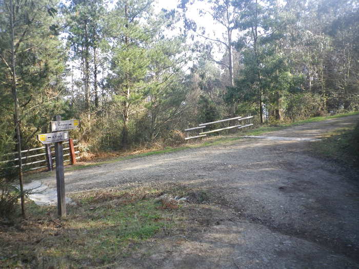
As Minas Route
- Castropol
- 5 km
- 1 hour and a half
- low
The route starts in the town of Tol. At the crossroads of the church of San Salvador, follow the signs to the parking area Fontequias, in the vicinity of the neighborhood of Cabaleiros.
-
Route of the Mazo de Meredo
- Vegadeo
- 13 km
- 4 hours
- half
The route starts in Piantón, a charming village that was once the capital of the council, located about two kilometers from Vegadeo in which we recommend a walk around the square and a visit to the church. We cross the so-called Roman Bridge and take the path to the left towards Arcilo. The path begins with a slight ascent through a deep eucalyptus forest mixed with remnants of native vegetation: chestnut, holly, laurel, … fed by numerous streams.
-
Route of the “Estraperlo
- Vegadeo
- 8.2 km
- 2 hours and 30 minutes
- Download
The route begins in Louteiro, which is accessed after taking a detour to the left shortly before leaving Vegadeo in the direction of Galicia. From the chapel of this village begins the route once used by pilgrims and pilgrims on pilgrimage to Santiago de Compostela, who avoided the main roads to pass products from Galicia to Asturias.
-
A Coba Route
- Santa Eulalia de Oscos
- 14.5 km
- 5 hours
- Medium - high
We start the route in the beautiful village of Ferreira, one of the best preserved of the municipality, where we can admire the popular architecture of the area while walking along its narrow paths in the shade of centuries-old vines.
-
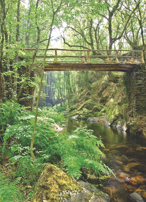
Railroad Route
- San Tirso de Abres
- 15 km
- 5 hours
- Download
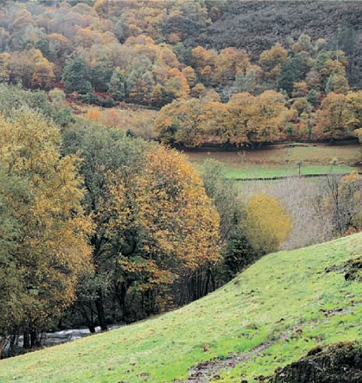
We start the walk in the old station of San Tirso de Abres, today restored for private housing, finding the first of the six tunnels just 300 m away, continuing next to the river Eo enjoying every moment of great panoramic views of the riverbed, of incalculable ecological and fish value, in which abound a large number of aquatic species, the most characteristic being trout, lamprey and salmon. Later the path crosses the N-640 road and leads us to an old power station built in 1932, located just before crossing another of the tunnels drilled in the rock, which leaves us close to the pedestrian walkway over the river Eo.