
As Minas Greenway
- Vegadeo
- Circular route
- 13 km
- 4 hours
- Media
The route starts in the town of A Espía (Vegadeo) and is accessed through the AS-11 road that connects Vegadeo with Los Oscos.
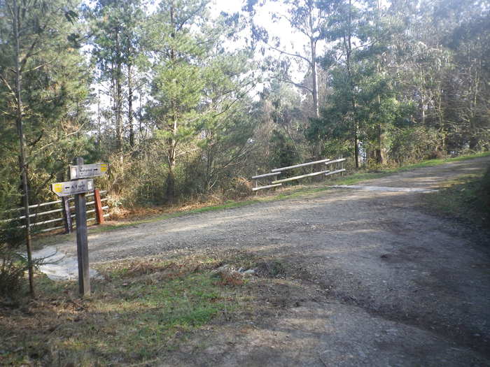
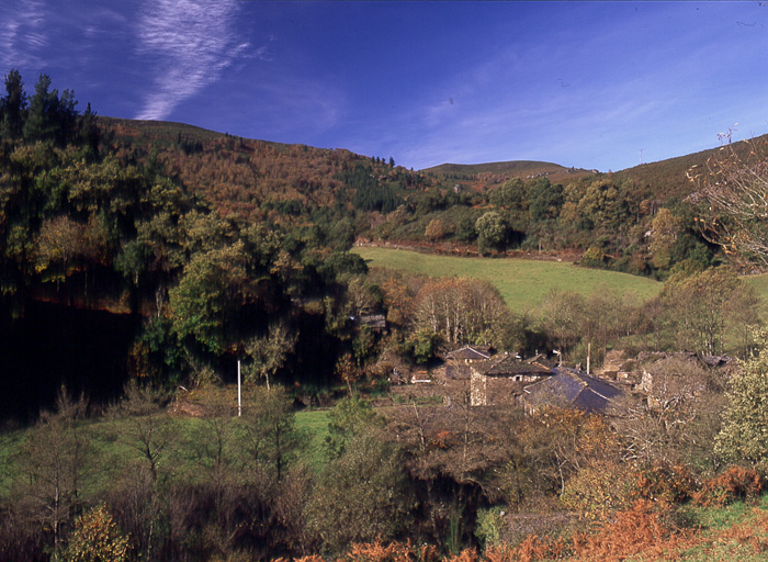
The trail consists of a circular section of about 8.7 km long, with an estimated travel time of 2 hours and a half, and a linear route, optional, of 4.3 km and estimated time of an hour and a half, which presents a greater difficulty and that will take us to Pico Bedures. After parking we see the beginning of the route with a complete explanatory panel, we start the path towards Rego de Llu, where we can stop to see one of the mouths, we continue the journey through the mountains of Bedures, Lameira and Rubieira, the path runs halfway up the slope and offers excellent views of the sea and other villages in the vicinity. After completing the circle and arriving back to Espía we have the option to climb the Bedures Peak, it is a steep slope, but in the end the views from the summit reward us for the effort and we can regain strength in the recreational area of Bedures.
Hiking trails
-
Forcón de los Ríos Route
- Santa Eulalia de Oscos
 13.3 km
 4 hours
 Media
Media
Route of nature and ethnography that begins next to the house of culture in Santa Eulalia de Oscos.
-
Vaguadas de Santa Eulalia de Oscos Route
- Santa Eulalia de Oscos
Download the route in PDF and KML and follow the route with your mountain bike or MTB.
-
Ruta del Esqueicer
- Santa Eulalia de Oscos
- 8,6 Km
- 3 horas
- Media
La ruta arranca en una curva situada entre el puente y la aldea de Sualleiro, justo al lado de los apartamentos que llevan ese mismo nombre. Inaugurada en agosto de 2020, se presenta bien cuidada y correctamente señalizada con flechas pintadas en árboles y piedras.
-
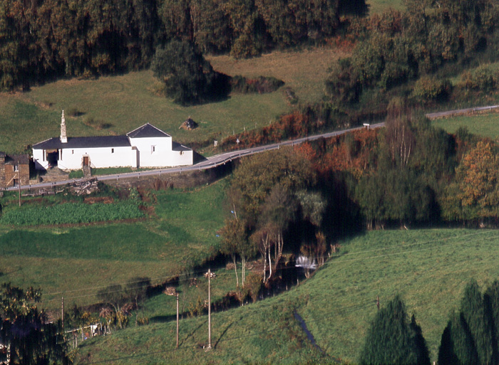
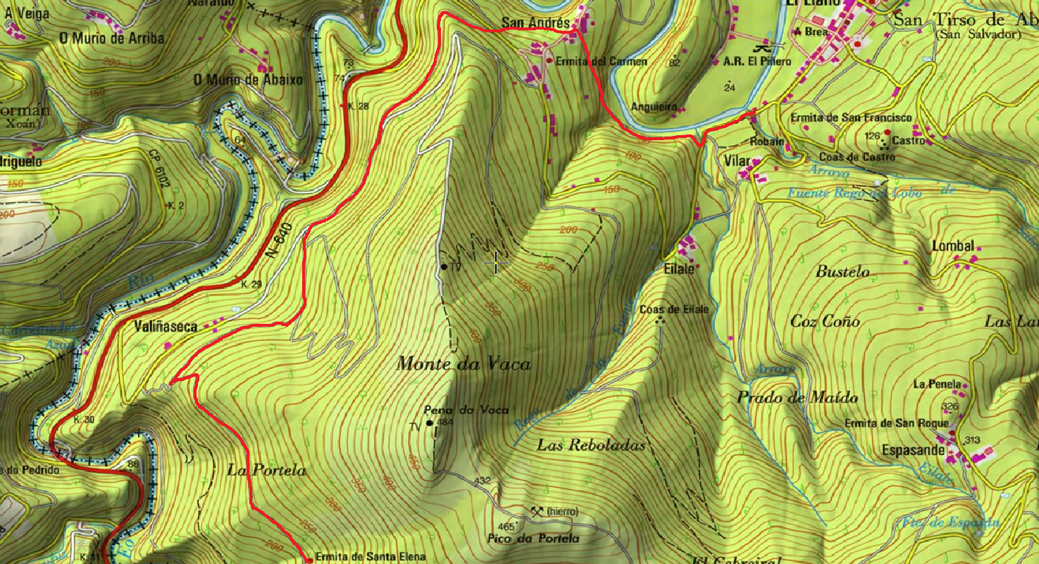
San Tirso de Abres – Vegadeo Route
- San Tirso de Abres
Download the route in PDF and KML and follow the route with your mountain bike or MTB.
-
Forest Route
- Villanueva de Oscos
- 8 km
- 2 hours and 45 minutes
- Download
The route starts in Villanueva, capital of the council, from where we leave in the direction of Santa Eufemia where there is still a beautiful chapel of popular baroque style built between the seventeenth and eighteenth centuries that deserves to be visited. Continuing the itinerary along the road and after about three hundred meters of walking, we reach the Castañeira Bridge, and after crossing it we must take a path that goes off to the right, reaching a splendid birch forest next to the abandoned farmhouse of Abilleira.
-
Ruta de los Pañeiros
- San Tirso de Abres
- 6 km (solo ida)
- 2 horas
- Baja
Antiguo Camino de Santiago que acogía a los romeros llegados por la Ría del Eo.