
A Mina de As Talladas Route
- Santa Eulalia de Oscos
- Circular route
- 12 km
- 3 hours and 45 minutes
- High average
The route starts in the square of Sta. Eulalia de Oscos descending to the lower part of the village and continuing along a beautiful path surrounded by native forest that leads us to Ferreirela de Baxo, a place where it is worth stopping and visiting the Museo Casa Natal del Marqués de Sargadelos.
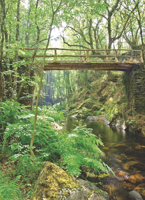
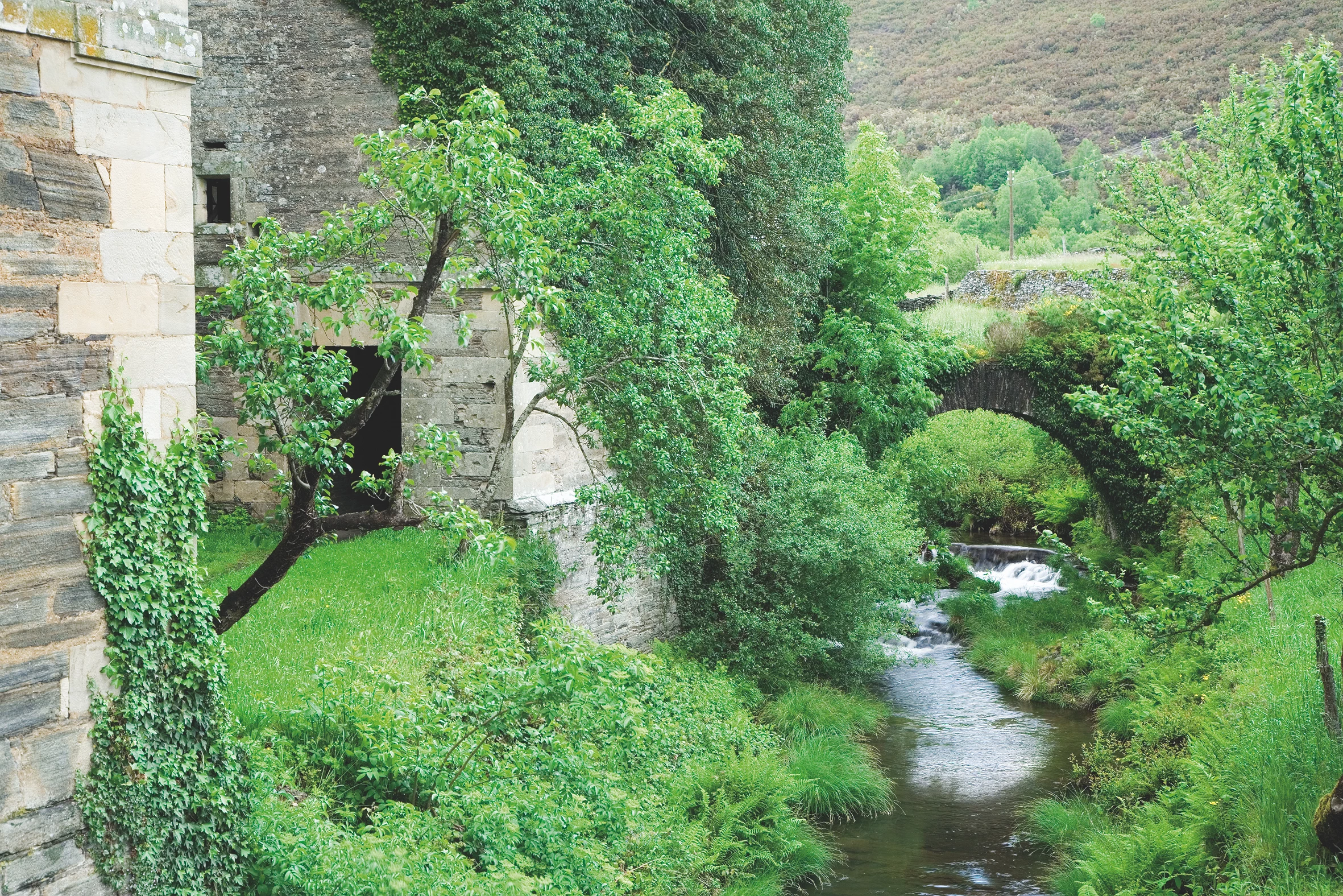
Continuing along the path we descend to the vicinity of the Agüeira River, which accompanies us to “As Barreiras” where it takes the waters of the Vilanova River. Already in Ferreira and after a walk through the village we cross the Agüeira River by a beautiful stone bridge that leaves us close to the tourist area, where we can rest or perform all kinds of water activities. We continue with a slight ascent that passes through As Talladas and takes us to the area of the Carmina mine. This mine has been exploited for the last time in the 50’s and 60’s, extracting from it important quantities of mineral formed by silver, zinc and lead. From the place where the old cable car that transported the ore to San Martin was installed, we start the way back, following a path that runs halfway up the slope allowing us unbeatable views of the entire valley. We cross the Vilanova River over a wooden bridge in a wooded area, where alders, chestnut and oak trees shelter the walker who gets lost under their canopies. We pass Caraduxe and Ferreirela de Riba to reach our starting point.
Hiking trails
-
Balcones de Villanueva de Oscos Route
- Villanueva de Oscos
 25,272 Km
 5 hours
  Download
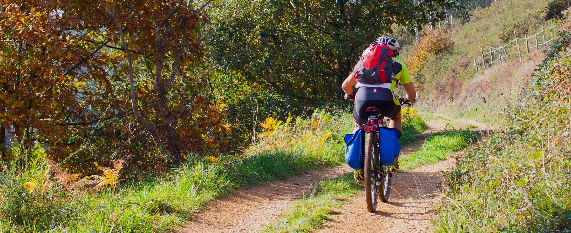
Download the route in PDF and KML and follow the route with your mountain bike or MTB. With different levels of difficulty, duration, slope and length. If you don’t have a bike you can rent one.
-
Forcón de los Ríos Route
- Santa Eulalia de Oscos
- 13.3 km
- 4 hours
- Media
Route of nature and ethnography that begins next to the house of culture in Santa Eulalia de Oscos.
-
San Tirso de Abres – Vegadeo Route
- San Tirso de Abres
Download the route in PDF and KML and follow the route with your mountain bike or MTB.
-
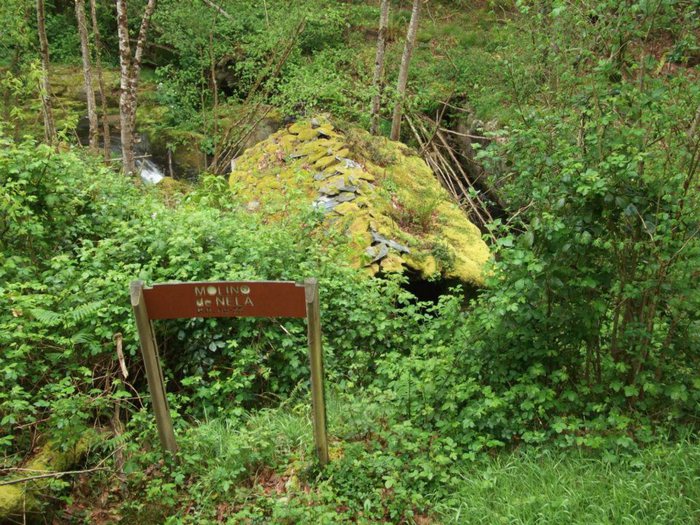
Route of the Mills
- Taramundi
- 10.7 km
- 4 hours
- Download
The route begins in the upper part of the village of Bres through a wide dirt road that leads to the Guxo mill, in excellent condition and also has in its vicinity a mini power plant.
-
Railroad Route
- San Tirso de Abres
- 15 km
- 5 hours
- Download
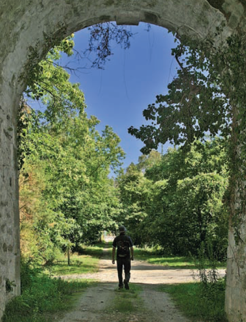
We start the walk in the old station of San Tirso de Abres, today restored for private housing, finding the first of the six tunnels just 300 m away, continuing next to the river Eo enjoying every moment of great panoramic views of the riverbed, of incalculable ecological and fish value, in which abound a large number of aquatic species, the most characteristic being trout, lamprey and salmon. Later the path crosses the N-640 road and leads us to an old power station built in 1932, located just before crossing another of the tunnels drilled in the rock, which leaves us close to the pedestrian walkway over the river Eo.
-
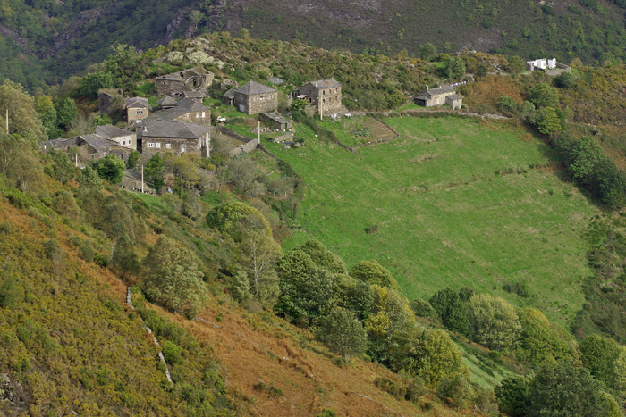
Route of Silence
- Villanueva de Oscos
- 12 km
- 5 hours
- High
The route starts in San Cristobal, a place where we find numerous samples of popular architecture in its purest state, giving us the sensation of having gone back several centuries in time. From its chapel we see the valley of Rio Ahio covered with a beautiful blanket of native forest that dazzles us with its typical colors.