


Cascada del Cioyo
- Castropol
- 3 km
- 1 - 2 horas
- Media
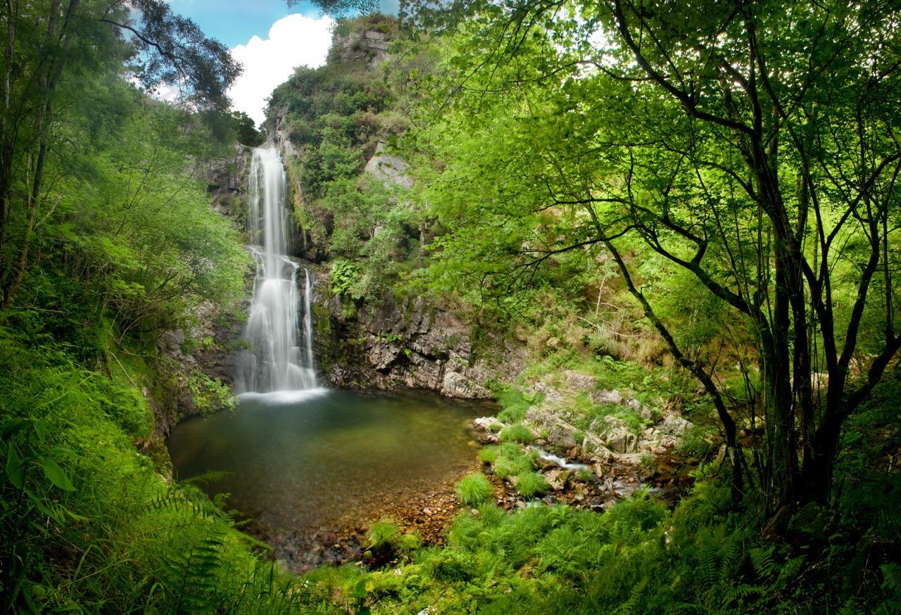
Escondida entre montañas y bosques del occidente asturiano, la Cascada del Cioyo es uno de esos lugares que parecen sacados de un cuento. El sonido del agua al caer, la vegetación exuberante que la rodea y la paz del entorno hacen de este rincón un destino ideal para quienes buscan conectar con la naturaleza.
Una caminata entre árboles, pequeñas cascadas y paisajes que invitan a parar y respirar. Al final del recorrido, la gran cascada del Cioyo se abre paso con fuerza entre la roca, regalando una imagen de belleza salvaje difícil de olvidar.
Inicio y fin del recorrido: Desde el aparcamiento retrocedemos unos 4 ó 5 metros andando, y encontraremos el sendero que nos dirigirá a la cascada. Una estrecha senda nos lleva a las cascadas de menor altura, pero no por ello de menor belleza. A la cascada del Cioyo, de mayor altura se llega atravesando la montaña.
Es recomendable llevar agua, algo de abrigo y calzado con buen agarre por los abruptos desniveles y el terreno.
Al acercarte al río, la vegetación cambia: sauces, musgos, líquenes y helechos tapizan las rocas y los márgenes del arroyo, creando un paisaje de cuento. Antes de llegar a la gran cascada del Cioyo, el camino pasa por pequeñas caídas de agua y pozas cristalinas, que ya adelantan la belleza del lugar final. Algunas son accesibles y perfectas para un descanso con vistas.
A lo largo del recorrido hay puntos donde se abren vistas hacia el valle, especialmente antes de la última bajada hacia la cascada. Son lugares ideales para hacer fotos o simplemente parar y contemplar.
El entorno natural que rodea la cascada ofrece espacios tranquilos y sombreados ideales para relajarse, tomar un tentempié o simplemente dejarse llevar por el sonido del agua y los cantos del bosque.
Es un lugar perfecto para llevar una pequeña mochila con comida ligera, una manta y disfrutar de un picnic sencillo y respetuoso con el medio ambiente.
Hiking trails
-
Mon Route
- San Martín de Oscos
 12.6 km
 4.5 hours
 Media
Media
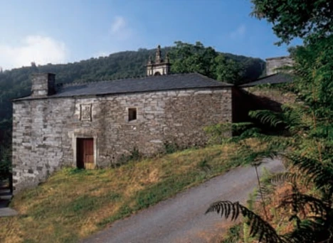
The itinerary begins in the village of A Revoqueira, three kilometers from San Martín.
-
A Seimeira Route
- Santa Eulalia de Oscos
- 8 km round trip
- 3 hours
- Download
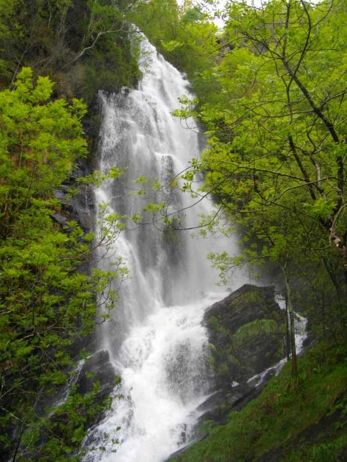
The route begins in the recreational area of Pumares; we cross the road and head parallel to the river to Pumares, a village of old ferreira activity, where we can still see the remains of an old mallet. From here, along a marked path, and leaving the river Agüeira to our left, we continue a slight ascent into a legendary forest characterized by riparian species (alders, ashes, willows, and hazelnut trees) and by oaks and chestnut trees that with their whimsical shapes are true monuments.
-
Forest Route
- Villanueva de Oscos
- 8 km
- 2 hours and 45 minutes
- Download
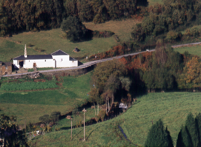
The route starts in Villanueva, capital of the council, from where we leave in the direction of Santa Eufemia where there is still a beautiful chapel of popular baroque style built between the seventeenth and eighteenth centuries that deserves to be visited. Continuing the itinerary along the road and after about three hundred meters of walking, we reach the Castañeira Bridge, and after crossing it we must take a path that goes off to the right, reaching a splendid birch forest next to the abandoned farmhouse of Abilleira.
-
Ruta de Eiroá
- Taramundi
- 13 km
- 3h 50m
- Baja
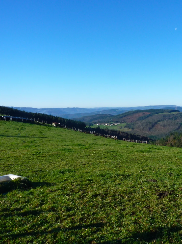
Esta ruta circular recorre buena parte del valle del río Cabreira, combinando caminos de montaña en la ida y de fondo de valle en la vuelta. Se inicia junto al hotel La Rectoral, tomando el camino que asciende entre el arbolado hacia la Sierra de Eiroá. Sin llegar a alcanzar su cumbre nos desviamos hacia el pueblo de Piñeiro, para llegar a él en suave descenso y disfrutar de su arquitectura tradicional y cabazos alzados al cielo.
-
Vaguadas de Santa Eulalia de Oscos Route
- Santa Eulalia de Oscos
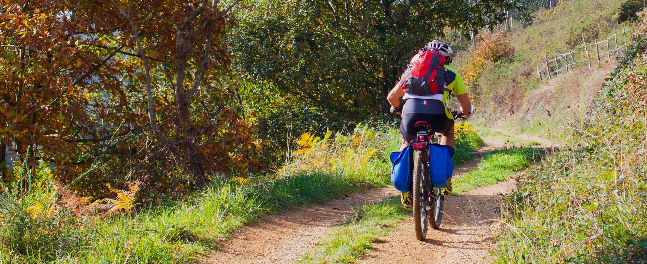
Download the route in PDF and KML and follow the route with your mountain bike or MTB.
-
Route of the “Estraperlo
- Vegadeo
- 8.2 km
- 2 hours and 30 minutes
- Download
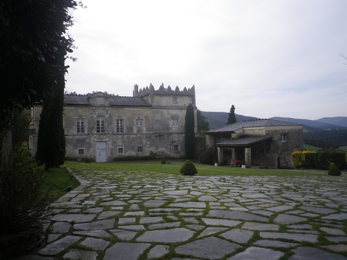
The route begins in Louteiro, which is accessed after taking a detour to the left shortly before leaving Vegadeo in the direction of Galicia. From the chapel of this village begins the route once used by pilgrims and pilgrims on pilgrimage to Santiago de Compostela, who avoided the main roads to pass products from Galicia to Asturias.


