
Ruta de los Ferreiros
- Taramundi
- Ruta circular
- 8 Km
- 2h 30m
- Baja
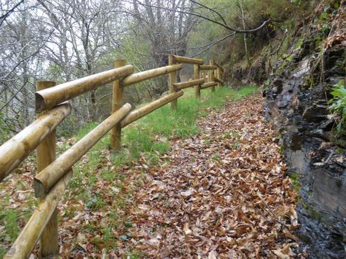
La Ruta de Os Ferreiros es un recorrido circular que invita a descubrir la esencia de Taramundi a través de su paisaje, su historia y sus oficios tradicionales. Un paseo accesible y lleno de encanto, perfecto para disfrutar de la naturaleza y el patrimonio cultural del concejo.
La ruta sale de Taramundi desde la Plaza del Poyo por un
paseo anexo a la carretera de Vegadeo hasta llegar a Veiga de
Llan donde podremos visitar dos talleres de cuchillería. Desde
aquí siguiendo el curso del río Cabreira llegaremos a
Mazonovo entrado por el Museo de los Molinos, donde se
reproducen molinos de diversa época y procedencia.
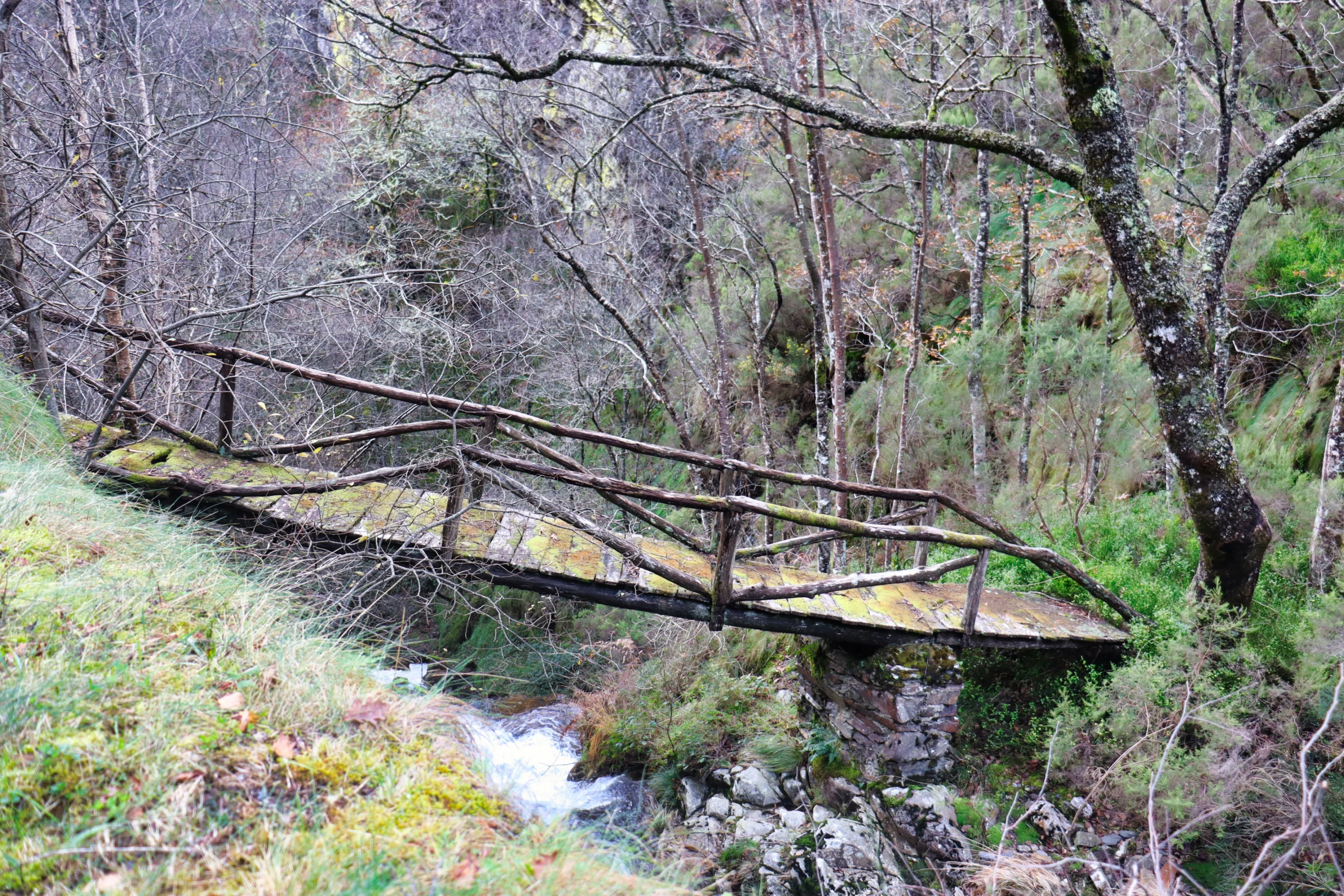
Pasado el puente sobre el río Turia se toma un sendero a la
derecha que transcurre paralelo al mismo, en el que abundan
los alisios, castaños, robles, abedules, fresnos, etc. Tras cruzar
otro puente sobre el mismo río pasamos a la margen derecha
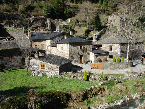
de éste hasta llegar a Veiga da Zarza, pueblo en el que existen
interesantes muestras de arquitectura popular así como un
molino en las proximidades del área recreativa. Continuamos
por un camino ligeramente ascendente, cruzamos la carretera
y seguimos en dirección a A Garda, a la izquierda está
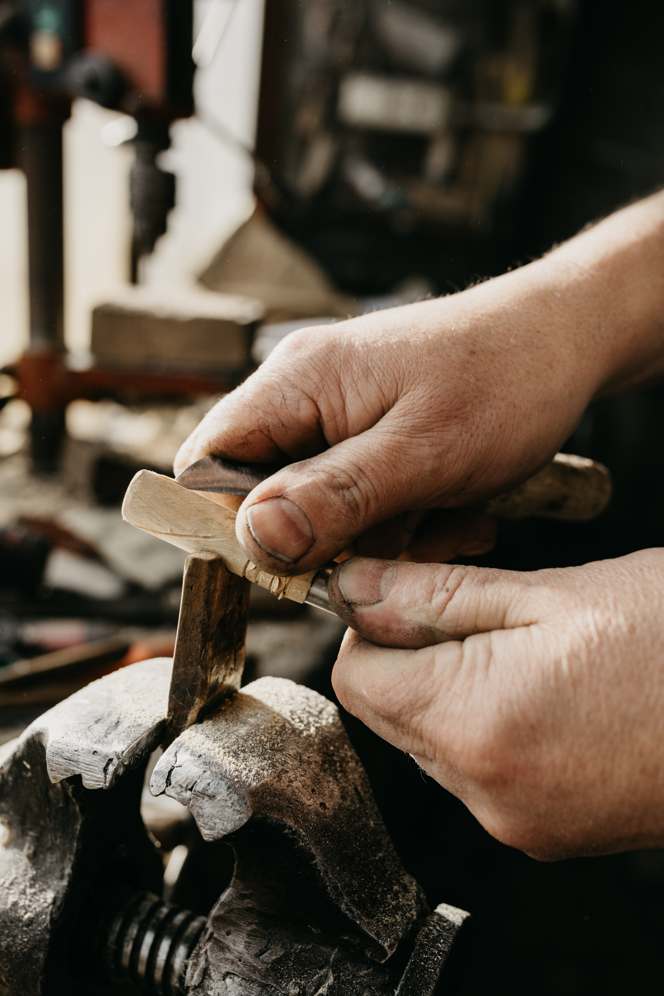
Mousende donde se pueden visitar talleres de “Ferreiros”
ejerciendo el oficio más tradicional del concejo: la elaboración
de navajas y cuchillos.
La ruta continúa en dirección norte por un camino ascendente
pasando por Vilanova y adentrándose en un espeso bosque
de castaños en el que hace años se recogían grandes
cantidades de castañas para alimento de personas y animales.
Ya en Pardiñas podremos hacer una parada para visitar la
casa-museo de la cuchillería tradicional, donde además
podremos ver una demostración de forja. Siguiendo el asfalto
llegamos a nuestro punto de partida, Taramundi.
Hiking trails
-
Agüeira Green Path
- Villanueva de Oscos
 14 km
14 km 5 h
5 h Media
Media
The route is made up of two circular sections starting and ending in the center of Villanueva. The longer one, about 12 km, coincides in part with the forest route.
-
Taramundi – Ouroso – Teixois – Veigas – Taramundi Route
- Taramundi
- 29,524 Km
Download the route in PDF and KML and follow the route with your mountain bike or MTB. With different levels of difficulty, duration, slope and length. If you don’t have a bike you can rent one.
-
As Minas Greenway
- Vegadeo
- 13 km
- 4 hours
- Media
The route starts in the town of A Espía (Vegadeo) and is accessed through the AS-11 road that connects Vegadeo with Los Oscos.
-
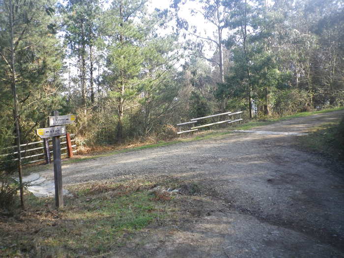
Ruta del Esqueicer
- Santa Eulalia de Oscos
- 8,6 Km
- 3 horas
- Media
La ruta arranca en una curva situada entre el puente y la aldea de Sualleiro, justo al lado de los apartamentos que llevan ese mismo nombre. Inaugurada en agosto de 2020, se presenta bien cuidada y correctamente señalizada con flechas pintadas en árboles y piedras.
-
Water Route
- Taramundi
- 14 km
- 4 hours and 30 minutes
- Download
Its fourteen kilometers allow us to enjoy the water and its use for centuries in the rural environment. From the lower part of Taramundi we take a road that leads us to Mazonovo, where we can visit the Museum of Mills.
-
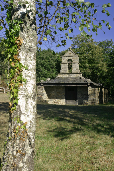
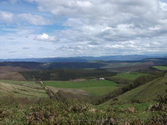
Mount Marón and Ascuita route
- San Martín de Oscos
- 9 km
- 2 hours
- Download
We begin the route in San Martín de Oscos where we can see the parish church, with a Latin cross plan, large porticoed space and inscription of 1828. To the right of the facade we observe one of the most characteristic hórreos of the Oscos with a mixed roof (slate and straw), which corresponds to the primitive models. In front of the church we have the mansion of the Guzmanes, an old manor house of the XVIII century, which preserves in the portico of its main entrance a coat of arms carved in stone. We cross the bridge that crosses the San Martín river to begin the ascent to Mount Marón, entering a small forest of birch and oak trees, which make our walk even more pleasant.