
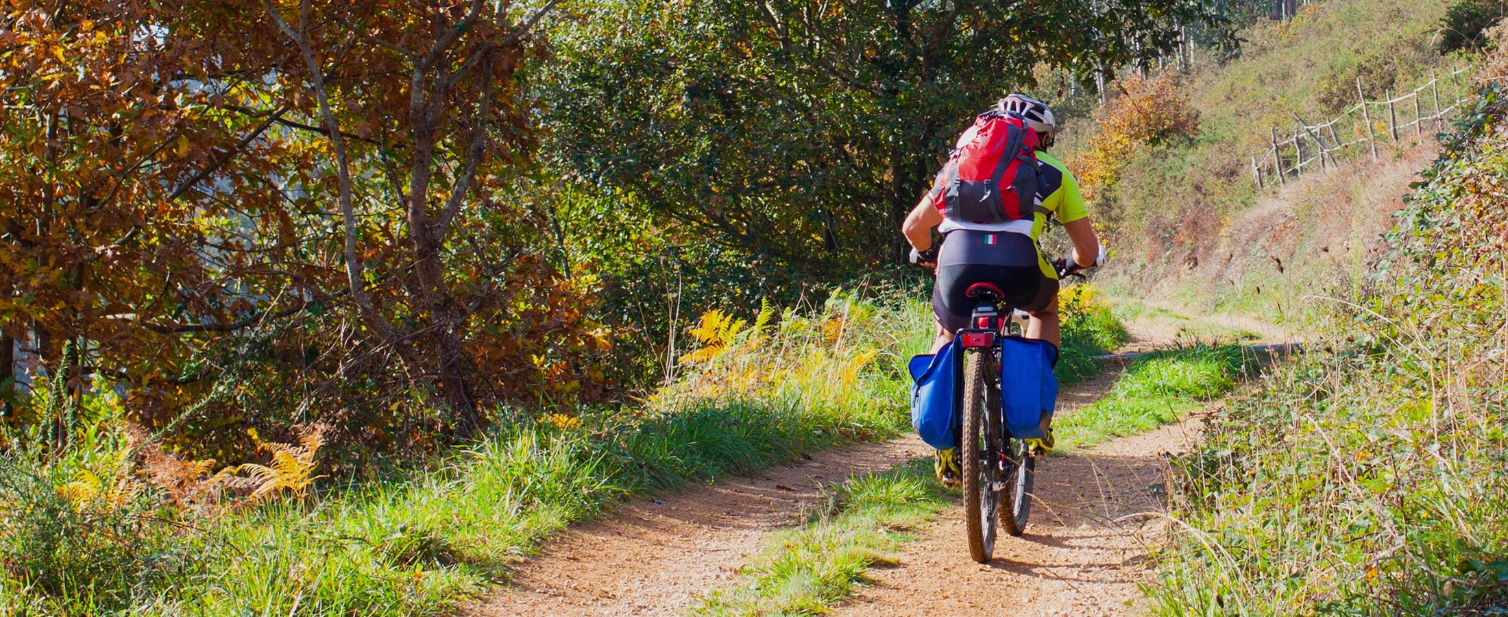
Ruta de Eiroá
- Taramundi
- Ruta circular
- 13 km
- 3h 50m
- Baja
Esta ruta circular recorre buena parte del valle del río Cabreira, combinando caminos de montaña en la ida y de fondo de valle en la vuelta. Se inicia junto al hotel La Rectoral, tomando el camino que asciende entre el arbolado hacia la Sierra de Eiroá. Sin llegar a alcanzar su cumbre nos desviamos hacia el pueblo de Piñeiro, para llegar a él en suave descenso y disfrutar de su arquitectura tradicional y cabazos alzados al cielo.
En Piñeiro se puede optar por continuar por la ruta principal o tomar una variante más corta de la misma. En este caso, atravesando el pueblo, descenderemos por un camino entre el bosque hacia Aguillón, localizado en el fondo del valle, para alcanzar el itinerario de vuelta a Taramundi.
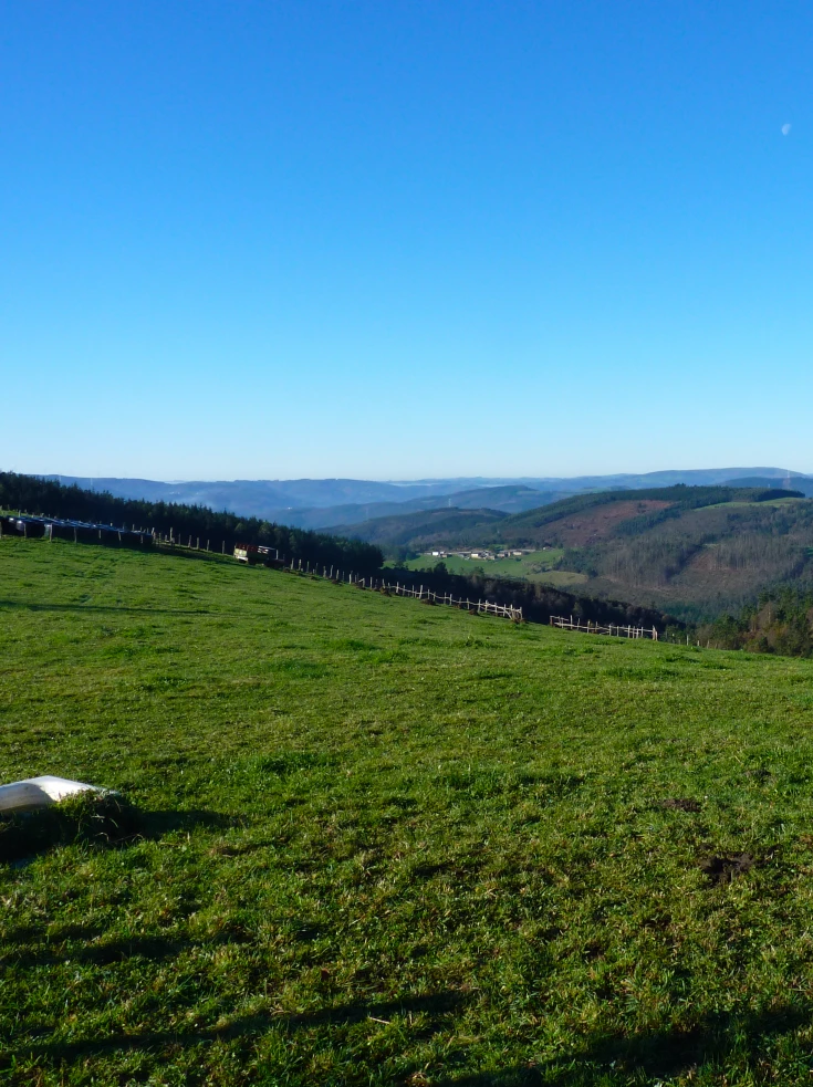
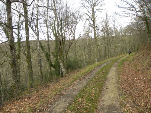
Si la opción elegida es hacer la ruta completa, desde Piñeiro continuaremos por la falda de la sierra siguiendo el camino forestal entre pinares que poco a poco desciende hacia Os Galiñeiros. A lo largo de este tramo podemos disfrutar de bonitas vistas del valle y las montañas que lo cierran por el sur.
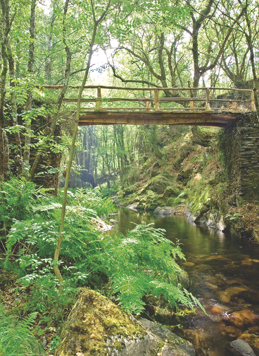
A la entrada de Os Galiñeiros tomamos el camino asfaltado que desciende hacia Lóutima y poco después, en una curva muy pronunciada, nos desviamos a la derecha para tomar el camino que recorre la vega y llegar a O Mazo de Bres. Este lugar, donde tiempo atrás hubo un mazo, bodegas de artesanos cuchilleros, molino harinero y varias viviendas se halla en la actualidad abandonado, languideciendo las ruinas de sus construcciones semiocultas entre la maleza.
Dejando O Mazo de Bres atrás, cruzamos el río e iniciamos la subida a Bres. Destaca entre su caserío la silueta de la iglesia de San Pedro y del edificio de su antigua escuela, que hoy alberga la Casa del Agua. Aquí, haciendo un alto en el camino, podemos visitar una interesante exposición centrada en el agua como materia prima y fuerza motriz.
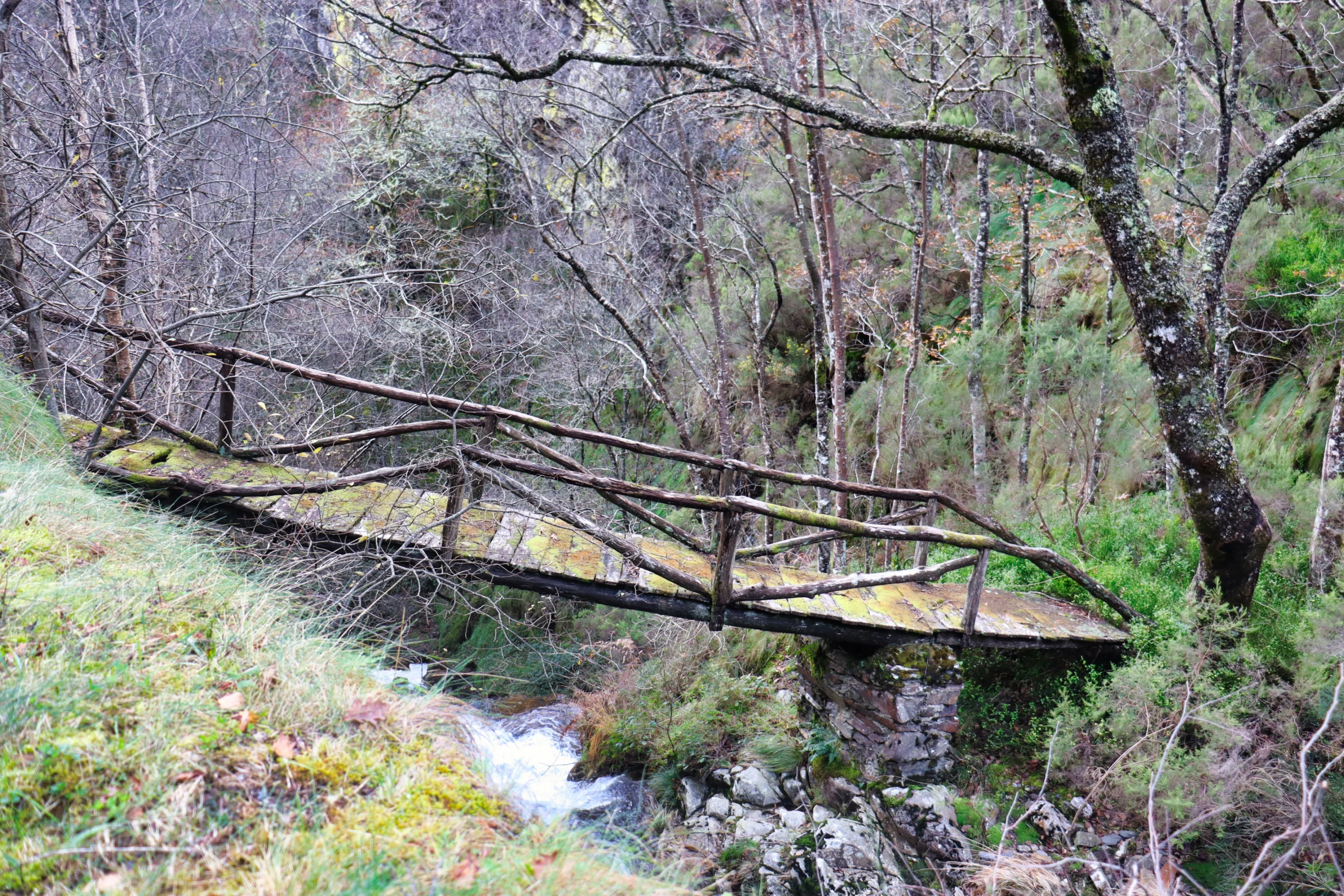
Saliendo de Bres junto al cementerio, descendemos hacia el río Cabreira y siguiendo el camino junto al río llegamos a Aguillón. Este pueblo tiene una larga historia de trabajo en torno al hierro, conservándose aún hoy un mazo. Un descanso en el área recreativa junto a la capilla de San Blás nos permitirá recuperar fuerzas para afrontar el último tramo de la ruta: la vuelta hacia Taramundi. Tras pasar junto al mazo salimos a la carretera y, por la senda acondicionada en su margen, regresamos a la villa.
Hiking trails
-
Ruta del Esqueicer
- Santa Eulalia de Oscos
 8,6 Km
 3 horas
 Media
Media
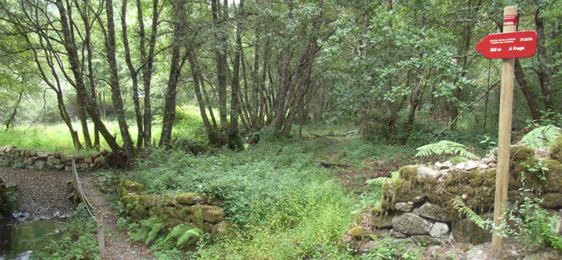
La ruta arranca en una curva situada entre el puente y la aldea de Sualleiro, justo al lado de los apartamentos que llevan ese mismo nombre. Inaugurada en agosto de 2020, se presenta bien cuidada y correctamente señalizada con flechas pintadas en árboles y piedras.
-
Route of the Muleteers
- San Tirso de Abres
- 15 km round trip
- 5 hours
- Download
To start the route we will move to the village of Espasande and half a kilometer from here in the direction of Taramundi we will see an explanatory panel on the left hand side at the beginning of the route.
-
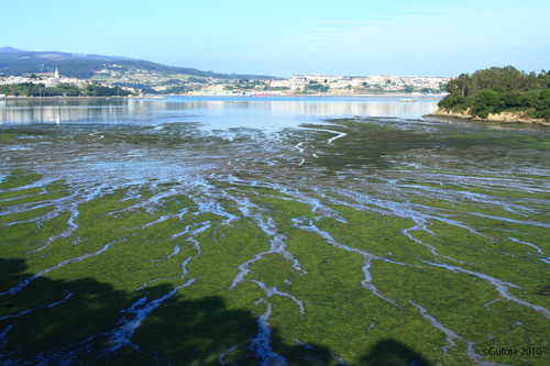
Castropol-Figueras coastal walk
- Castropol
- 8 km round trip
- 2 hours
- Download
The trail starts at the entrance of the village, where we will find a suitable place to leave the car. After a few meters we will find an information panel that will give us a general idea of the itinerary.
-
San Tirso de Abres – Vegadeo Route
- San Tirso de Abres
Download the route in PDF and KML and follow the route with your mountain bike or MTB.
-
Carbayal de Salgueiras Route
- Villanueva de Oscos
- 7 km
- 2 hours
- Download
The itinerary begins next to the chapel of Salgueiras, located on the AS-27 road, 6 kilometers from Villanueva. Throughout the tour we must observe the environment around us: the houses, their attached buildings, orchards, meadows, farm implements, forests, to understand the way of life of the locals.
-
A Mina de As Talladas Route
- Santa Eulalia de Oscos
- 12 km
- 3 hours and 45 minutes
- High average
The route starts in the square of Sta. Eulalia de Oscos descending to the lower part of the village and continuing along a beautiful path surrounded by native forest that leads us to Ferreirela de Baxo, a place where it is worth stopping and visiting the Museo Casa Natal del Marqués de Sargadelos.