
A Seimeira Route
- Santa Eulalia de Oscos
- Linear route
- 8 km round trip
- 3 hours
- Download
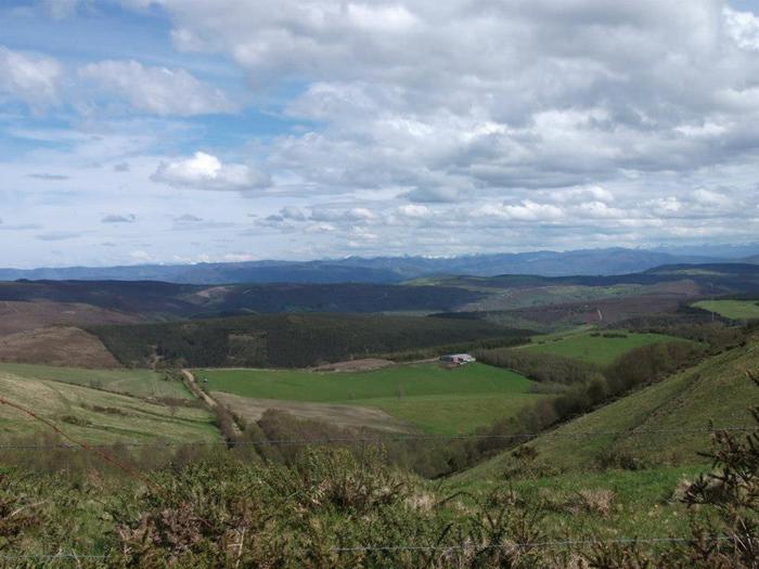
The route begins in the recreational area of Pumares; we cross the road and head parallel to the river to Pumares, a village of old ferreira activity, where we can still see the remains of an old mallet. From here, along a marked path, and leaving the river Agüeira to our left, we continue a slight ascent into a legendary forest characterized by riparian species (alders, ashes, willows, and hazelnut trees) and by oaks and chestnut trees that with their whimsical shapes are true monuments.
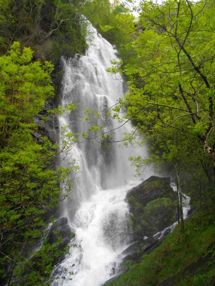
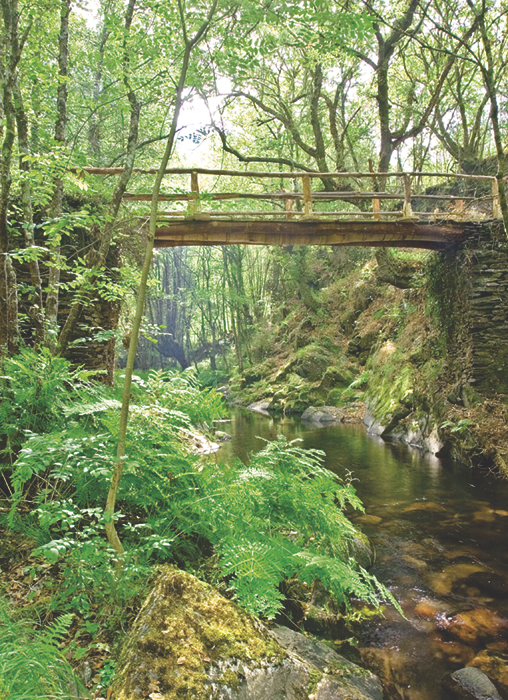
Most of the path is guarded by stone walls adorned with moss, with a soft carpet of leaf litter that cushions our steps. Already in the Ancadeira we pass by several abandoned buildings that show us the importance that the place had. We continue through the magical and lonely “Valle del Desterrado” that leads us to a crossroads where we can continue straight ahead until we reach the waterfall (seimeira) of about 30 meters of fall or turn left across a small bridge that will take us after a slight ascent to the village of Busqueimado where we can visit the chapel, dedicated to San Pedro, accompanied by two impressive yew trees listed as a natural monument. The way back will be done by the same path in reverse.
Hiking trails
-
Railroad Route
- San Tirso de Abres
 15 km
15 km 5 hours
 Download
We start the walk in the old station of San Tirso de Abres, today restored for private housing, finding the first of the six tunnels just 300 m away, continuing next to the river Eo enjoying every moment of great panoramic views of the riverbed, of incalculable ecological and fish value, in which abound a large number of aquatic species, the most characteristic being trout, lamprey and salmon. Later the path crosses the N-640 road and leads us to an old power station built in 1932, located just before crossing another of the tunnels drilled in the rock, which leaves us close to the pedestrian walkway over the river Eo.
-
A Mina de As Talladas Route
- Santa Eulalia de Oscos
- 12 km
- 3 hours and 45 minutes
- High average
The route starts in the square of Sta. Eulalia de Oscos descending to the lower part of the village and continuing along a beautiful path surrounded by native forest that leads us to Ferreirela de Baxo, a place where it is worth stopping and visiting the Museo Casa Natal del Marqués de Sargadelos.
-
Route of the Muleteers
- San Tirso de Abres
- 15 km round trip
- 5 hours
- Download
To start the route we will move to the village of Espasande and half a kilometer from here in the direction of Taramundi we will see an explanatory panel on the left hand side at the beginning of the route.
-
Taramundi – Ouroso – Teixois – Veigas – Taramundi Route
- Taramundi
- 29,524 Km
Download the route in PDF and KML and follow the route with your mountain bike or MTB. With different levels of difficulty, duration, slope and length. If you don’t have a bike you can rent one.
-
As Minas Route
- Castropol
- 5 km
- 1 hour and a half
- low
The route starts in the town of Tol. At the crossroads of the church of San Salvador, follow the signs to the parking area Fontequias, in the vicinity of the neighborhood of Cabaleiros.
-
Carbayal de Salgueiras Route
- Villanueva de Oscos
- 7 km
- 2 hours
- Download
The itinerary begins next to the chapel of Salgueiras, located on the AS-27 road, 6 kilometers from Villanueva. Throughout the tour we must observe the environment around us: the houses, their attached buildings, orchards, meadows, farm implements, forests, to understand the way of life of the locals.