
Forcón de los Ríos Route
- Santa Eulalia de Oscos
- Circular route
- 13.3 km
- 4 hours
- Media
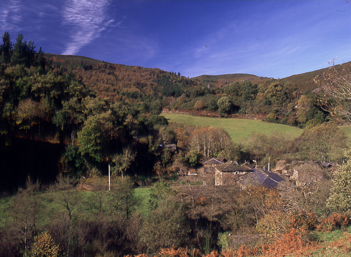
Route of nature and ethnography that begins next to the house of culture in Santa Eulalia de Oscos.
We leave in the direction of Millarado crossing a wooded area characterized by the presence of oaks, birches and pines, after which we reach a cattle farm (Millarado). After As Poceiras we descend the slope and cross a bridge over the river Barcia that will allow us to ascend to Vega del Carro where we pass next to the chapel consecrated to Nuestra Señora del Carmen, built with stone, wood and slate with the characteristic yew tree guarding it. On a path between mountains and river, we arrive at the confluence (forcón) of the rivers Villanueva and Barcia, which gives its name to the route. After crossing the inner road of the Oscos submerged in the forest that closes the Villanueva river with the presence of alder, ash, willow and hazelnut trees, we arrive at A Valía, of special ethnographic value, cradle of the Lombardía, who were watchmakers and inventors. After crossing San Julián and Caraduxe, we arrive at Ferreirela de Riba, where we find the old House of the Lombardero; continuing straight ahead on an asphalt road, we leave on the left a small path that leads to Ferreirela de Baxo where we find the Museum Casa Natal del Marqués de Sargadelos, a faithful recreation of the traditional housing of the Oscos and the peasant life in the region. In a few minutes we will be back at the starting point.
Hiking trails
-
Ruta del Esqueicer
- Santa Eulalia de Oscos
 8,6 Km
 3 horas
 Media
Media
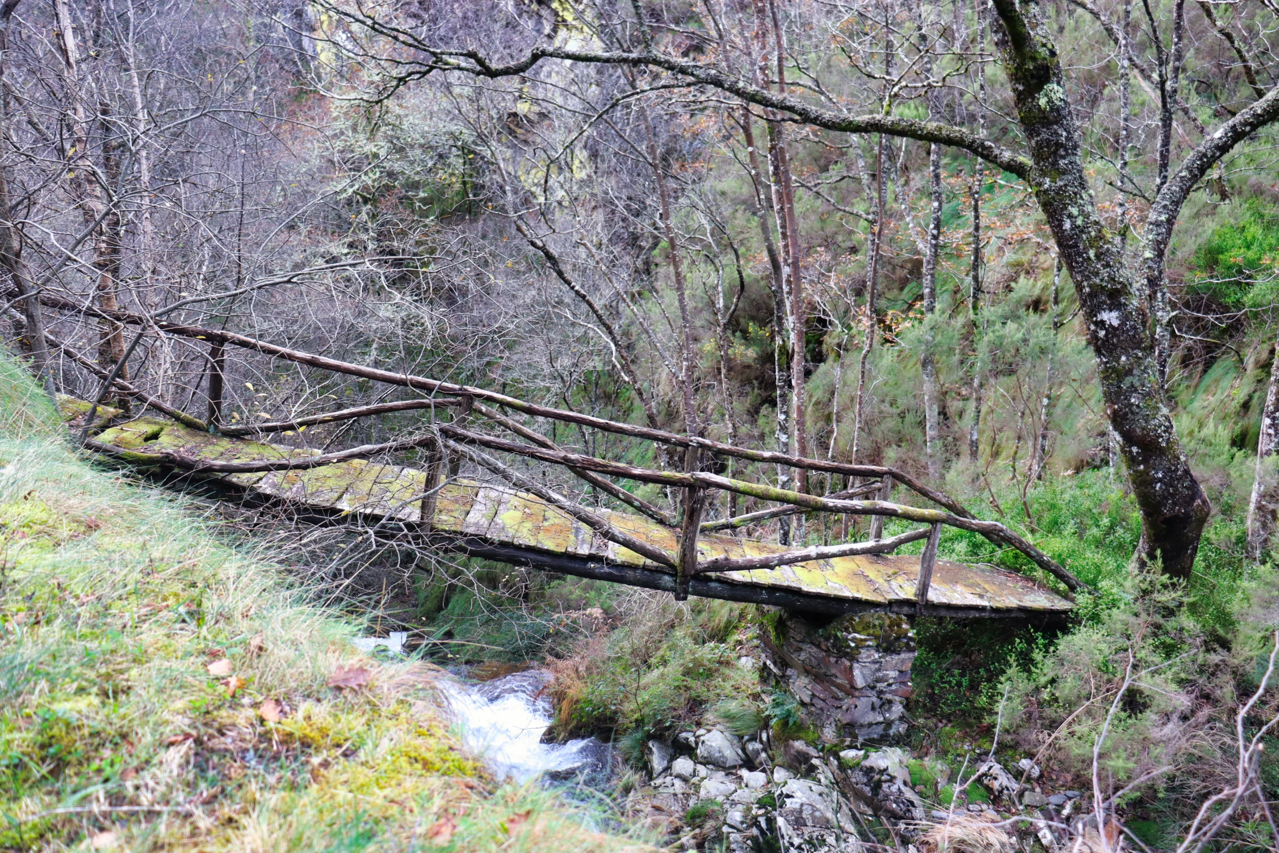
La ruta arranca en una curva situada entre el puente y la aldea de Sualleiro, justo al lado de los apartamentos que llevan ese mismo nombre. Inaugurada en agosto de 2020, se presenta bien cuidada y correctamente señalizada con flechas pintadas en árboles y piedras.
-
Castropol-Figueras coastal walk
- Castropol
- 8 km round trip
- 2 hours
- Download
The trail starts at the entrance of the village, where we will find a suitable place to leave the car. After a few meters we will find an information panel that will give us a general idea of the itinerary.
-
Ouroso Route
- Taramundi
- 7.8 km
- 3 hours
- Download
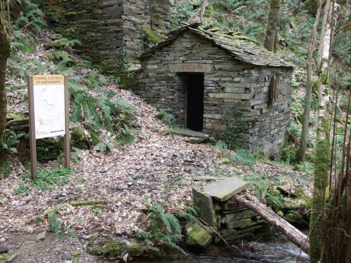
In the Teixo and just behind the hostel starts the forest track along which begins the walk to the Alto de Ouroso. The path is wide and passable by all-terrain vehicles, so there is hardly any possibility of getting lost. The route runs comfortably between wide pastures, heaths and pine forests of repopulation to reach a landing on which there is a small lagoon where at mid-morning many horses come to this point to water and refresh themselves in the shade of the pines. The animals graze in a semi-wild state and require little attention from their owners, which is why the number of horses has increased considerably in recent years.
-
Coastal Path Tapia – Figueras
- Castropol
- 14 km
- 4 hours
- Download
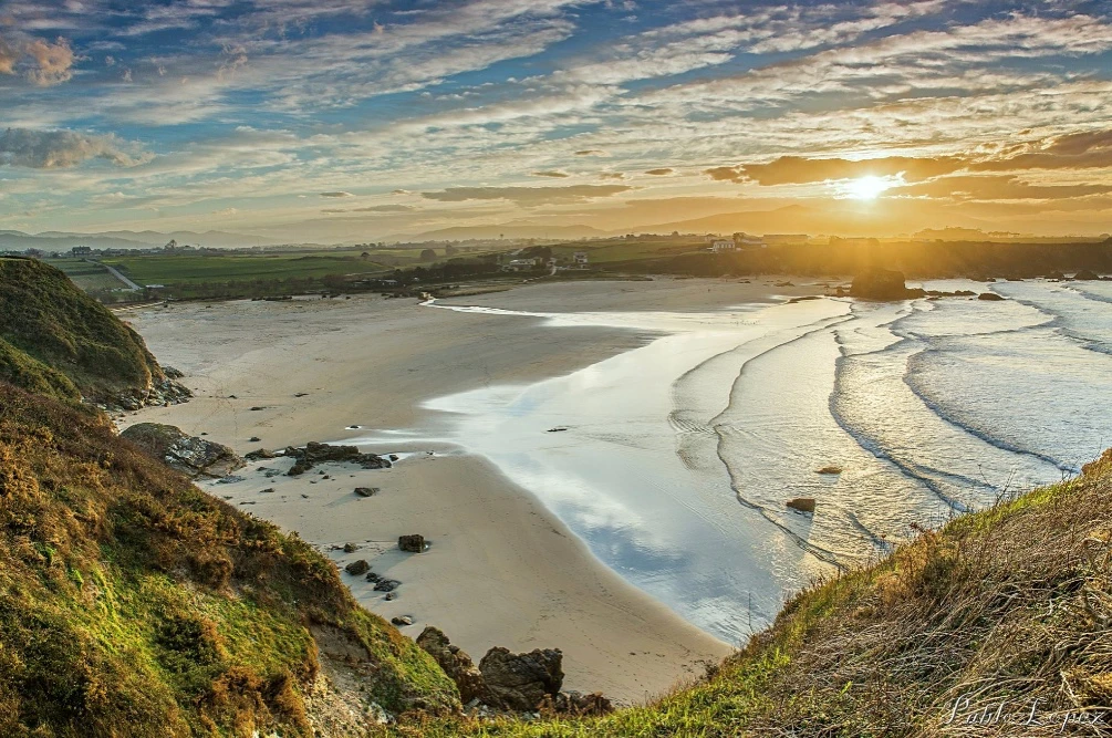
In our region the route starts at Penarronda beach, declared a natural monument for its high environmental values, a beach that holds the blue flag and where you can not miss a good swim.
-
Teixo – Os Teixois Route
- Taramundi
- 10 km
- 3 hours and 45 minutes
- Media
The itinerary begins in Teixo, where after leaving the vehicle and passing the last houses we start an easy walk along the road that connects this town with Santa Marina, leaving it to the right by a wide dirt track that leads us after a slight descent to the Arroyo das Mestas.
-
Ruta Piorno a os Fornos
- San Martín de Oscos
- 5,5 km
- 2h 30m
- Baja
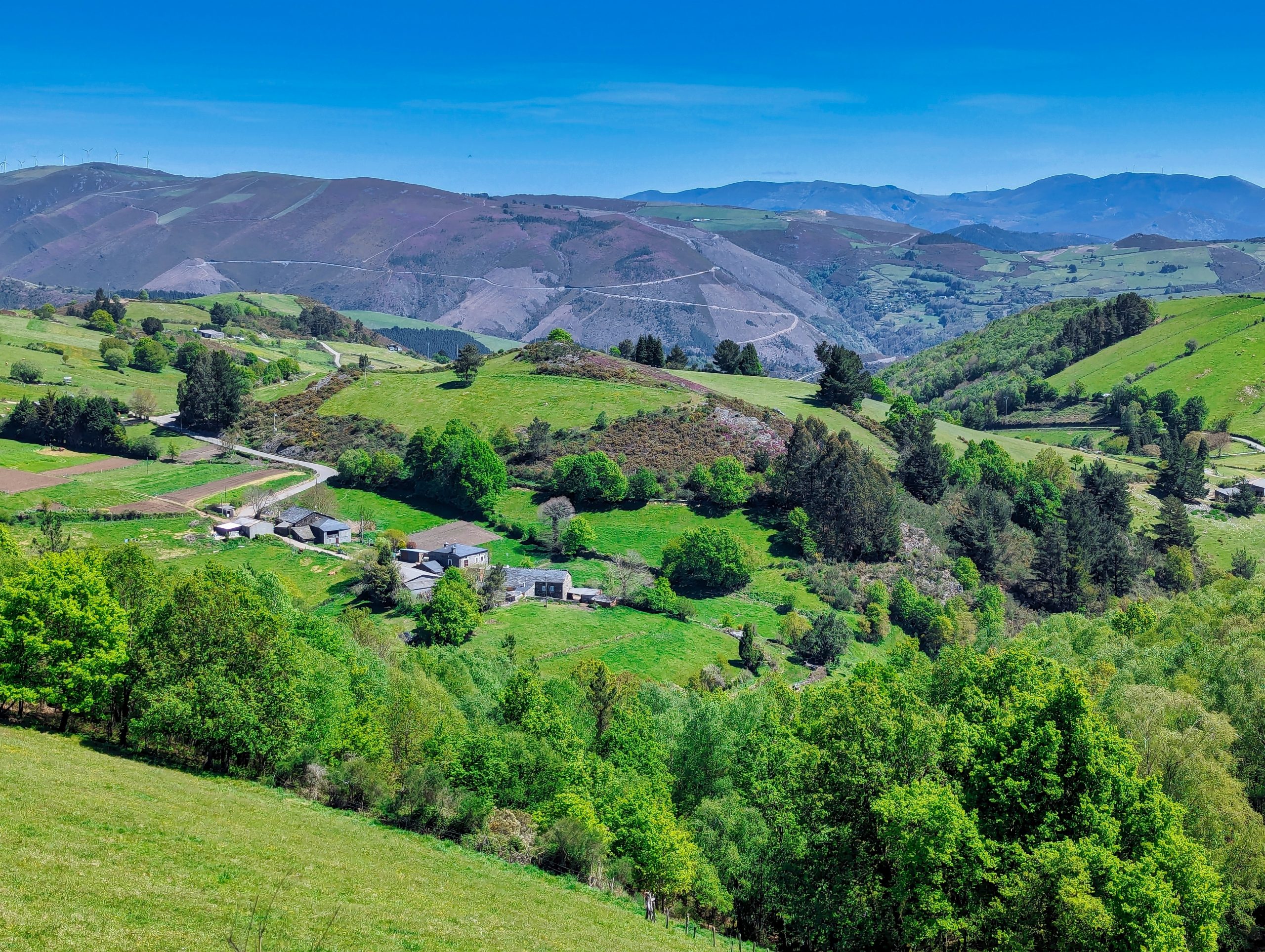
Iniciamos la ruta en el pueblo de Piorno, que se recomienda recorrer porque conserva excelentes muestras de arquitectura tradicional de los Oscos en piedra, pizarra y madera.