
A Coba Route
- Santa Eulalia de Oscos
- Circular route
- 14.5 km
- 5 hours
- Medium - high
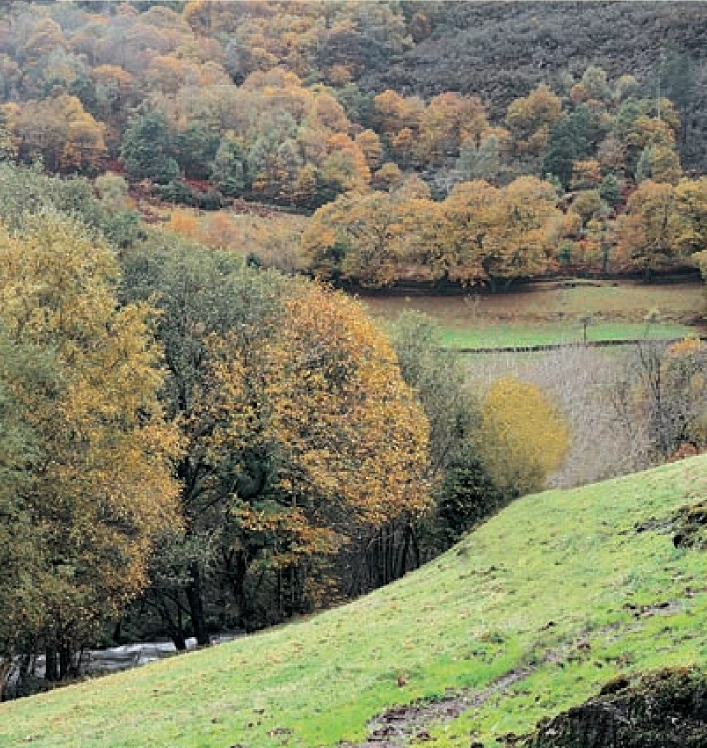
We start the route in the beautiful village of Ferreira, one of the best preserved of the municipality, where we can admire the popular architecture of the area while walking along its narrow paths in the shade of centuries-old vines.
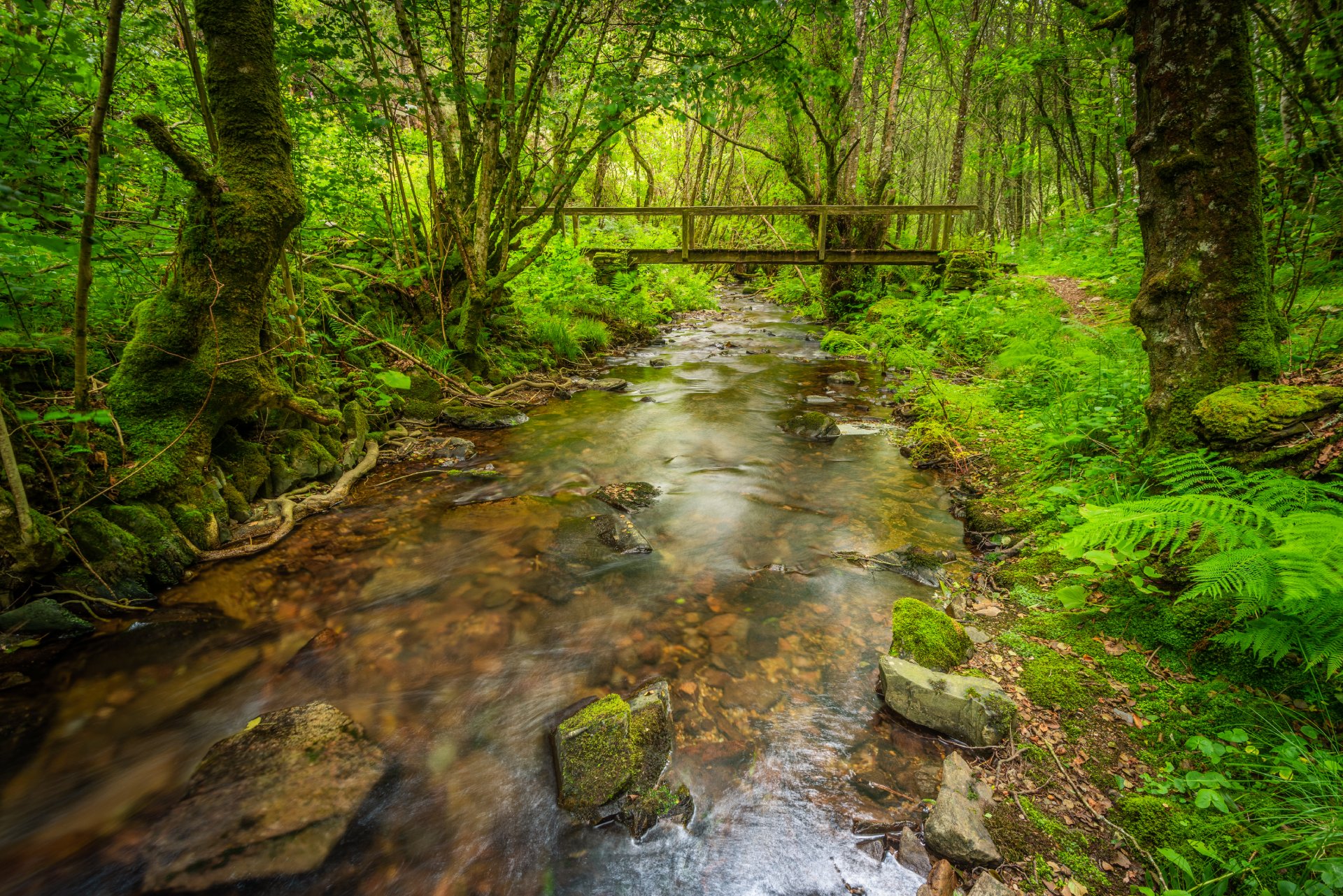
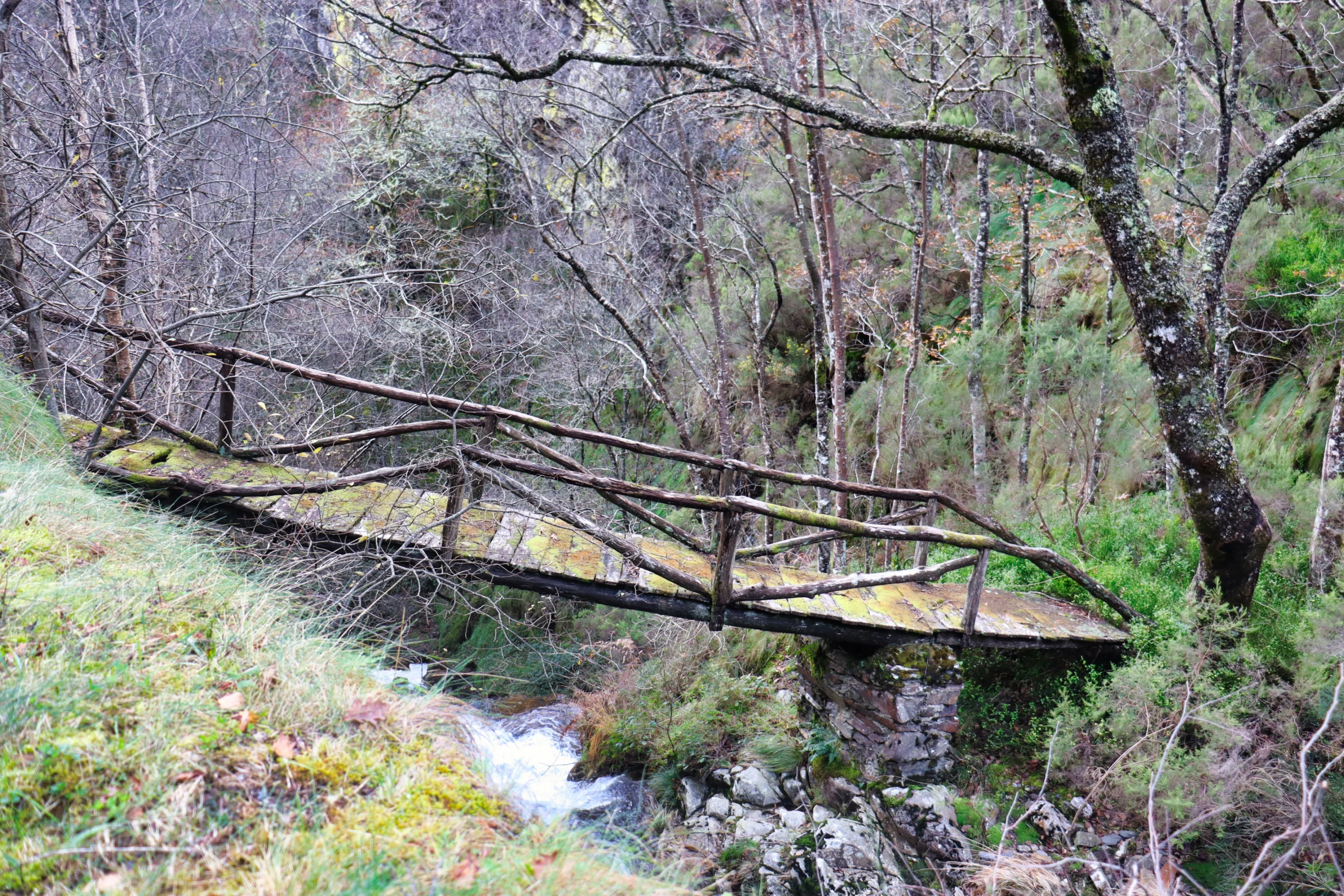
After crossing the village we begin the ascent towards Nonide, entering little by little in wooded patches of chestnut, oak and birch trees, which open up in small clearings allowing us to see the canyon of the river Agüeira in its rapid flow towards its mouth in the river Navia. Passing Nonide we begin a steep descent immersed in a large chestnut forest, on whose slopes we can see “cortines”, circular stone constructions that protect the hives from attacks by wildlife and fire. Soon we will reach the river Allonca that brings water from neighboring Galicia and pours into the river Agüeira in an area known as “ponte de A coba” ideal place to take a bath and continue with energy the ascent to La Coba and Coba; from here we border the mountain halfway up the slope between the heather, gorse and broom alternating with small copses of native trees, which will make us arrive back to Ferreira quickly and pleasantly. Back at the starting point we can not end the day without enjoying the tourist area of Ferreira where we can rest and practice water activities (canoeing, fishing, bathing, etc.).
Hiking trails
-
Ruta Os Cortíos
- Santa Eulalia de Oscos
 8,47 km
 4 horas
 Baja
Baja
Esta ruta comienza en Barcia (Asturias) donde disponemos de un aparcamiento público para dejar nuestro coche a escasos metros del inicio.
-
Ruta Piorno a os Fornos
- San Martín de Oscos
- 5,5 km
- 2h 30m
- Baja
Iniciamos la ruta en el pueblo de Piorno, que se recomienda recorrer porque conserva excelentes muestras de arquitectura tradicional de los Oscos en piedra, pizarra y madera.
-
San Martín de Oscos Mining Route
- San Martín de Oscos
- 30,618 Km
Download the route in PDF and KML and follow the route with your mountain bike or MTB. With different levels of difficulty, duration, slope and length. If you don’t have a bike you can rent one.
-
Ruta del Esqueicer
- Santa Eulalia de Oscos
- 8,6 Km
- 3 horas
- Media
La ruta arranca en una curva situada entre el puente y la aldea de Sualleiro, justo al lado de los apartamentos que llevan ese mismo nombre. Inaugurada en agosto de 2020, se presenta bien cuidada y correctamente señalizada con flechas pintadas en árboles y piedras.
-
Eo estuary path
- Vegadeo
- 4.58 km
- 1 hour and a half
- Download
The route starts in the center of Vegadeo in the area known as the Fondrigo, located at the exit to Galicia. From here we start the ascent to Miou, where we will find a crossroads where the path forks and we can go on either side, since from this point the route is circular.
-
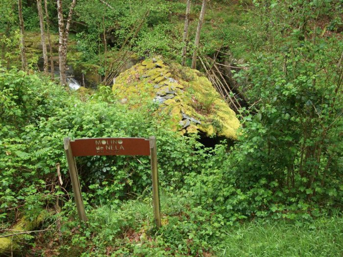
Route of the Mills
- Taramundi
- 10.7 km
- 4 hours
- Download
The route begins in the upper part of the village of Bres through a wide dirt road that leads to the Guxo mill, in excellent condition and also has in its vicinity a mini power plant.