
Route of the Mills
- Taramundi
- Circular route
- 10.7 km
- 4 hours
- Download
The route begins in the upper part of the village of Bres through a wide dirt road that leads to the Guxo mill, in excellent condition and also has in its vicinity a mini power plant.
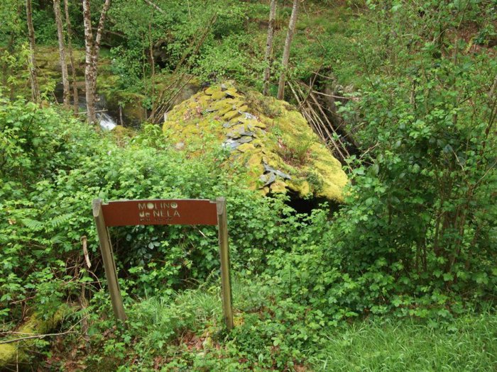
The route continues along a small path leaving the stream on the right until you reach a wooden bridge that we must cross to start the ascent through a chestnut grove to reach the Chao do Cobo, an area where it is common to find traces of wild boar. The path continues ascending through Cabaza until reaching the Teixo, crossing meadows and small oak forests. From the top of Teixo, on clear days, the views of the north of the council (Sela de Entorcisa, Sela de Fabal, etc) are unbeatable. The itinerary passes through Brataramundi and after a steep descent we reach the Molino Viejo and the Molino de Nela, both of which are in a bad state of preservation due to disuse. These hydraulic mills were once used to grind corn, wheat, oats and rye, cereals used to feed people and animals. From this point a slight ascent begins by a nice path in which oaks and blueberries abound on both sides, arriving at a wider dirt track that in descending sense takes us to the starting point.
Hiking trails
-
Route of Silence
- Villanueva de Oscos
 12 km
12 km 5 hours
 High
High
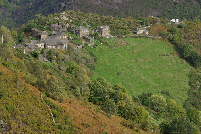
The route starts in San Cristobal, a place where we find numerous samples of popular architecture in its purest state, giving us the sensation of having gone back several centuries in time. From its chapel we see the valley of Rio Ahio covered with a beautiful blanket of native forest that dazzles us with its typical colors.
-
Forest Route
- Villanueva de Oscos
- 8 km
- 2 hours and 45 minutes
- Download
The route starts in Villanueva, capital of the council, from where we leave in the direction of Santa Eufemia where there is still a beautiful chapel of popular baroque style built between the seventeenth and eighteenth centuries that deserves to be visited. Continuing the itinerary along the road and after about three hundred meters of walking, we reach the Castañeira Bridge, and after crossing it we must take a path that goes off to the right, reaching a splendid birch forest next to the abandoned farmhouse of Abilleira.
-
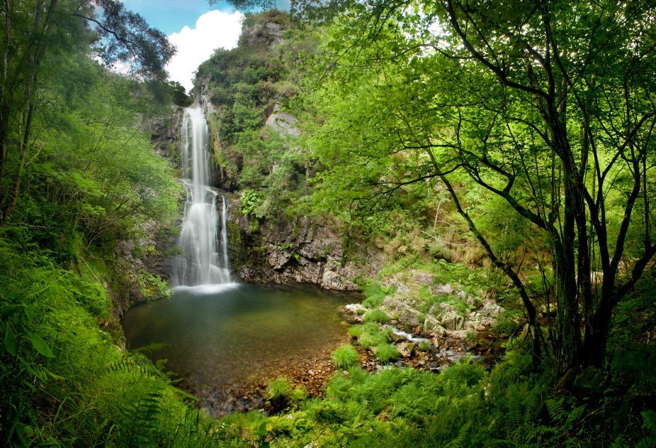
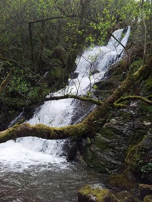
Cascada del Cioyo
- Castropol
- 3 km
- 1 - 2 horas
- Media
Escondida entre montañas y bosques del occidente asturiano, la Cascada del Cioyo es uno de esos lugares que parecen sacados de un cuento. El sonido del agua al caer, la vegetación exuberante que la rodea y la paz del entorno hacen de este rincón un destino ideal para quienes buscan conectar con la naturaleza. Una caminata entre árboles, pequeñas cascadas y paisajes que invitan a parar y respirar. Al final del recorrido, la gran cascada del Cioyo se abre paso con fuerza entre la roca, regalando una imagen de belleza salvaje difícil de olvidar.
-
A Pena do Encanto Route
- San Tirso de Abres
- 4 km
- 1 hour and 20 minutes
- Download
From the municipal capital we go to the exit of the town towards Galicia, finding ourselves on the right hand side with the San Isidro square in whose center is the chapel with the same name, coinciding with the starting point of the route.
-
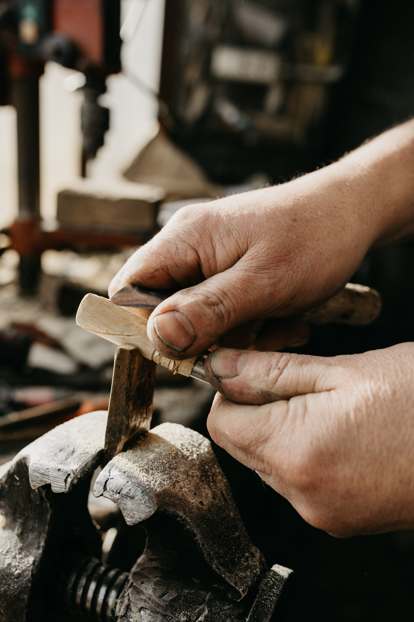
Ruta de los Ferreiros
- Taramundi
- 8 Km
- 2h 30m
- Baja
La Ruta de Os Ferreiros es un recorrido circular que invita a descubrir la esencia de Taramundi a través de su paisaje, su historia y sus oficios tradicionales. Un paseo accesible y lleno de encanto, perfecto para disfrutar de la naturaleza y el patrimonio cultural del concejo.
-
Route of the “Estraperlo
- Vegadeo
- 8.2 km
- 2 hours and 30 minutes
- Download
The route begins in Louteiro, which is accessed after taking a detour to the left shortly before leaving Vegadeo in the direction of Galicia. From the chapel of this village begins the route once used by pilgrims and pilgrims on pilgrimage to Santiago de Compostela, who avoided the main roads to pass products from Galicia to Asturias.