
Vegadeo – Vegadeo Route
- Vegadeo
- MTB Route
- 26,089 Km.
- Download
Download the route in PDF and KML and follow the route with your mountain bike or MTB.
With different levels of difficulty, duration, slope and length.
If you don’t have a bike you can rent one.
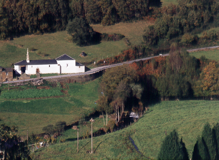
Route with a mixed route, based on wide and local roads, which presents a very affordable route profile and with a high cyclability. It starts from the Town Hall Square of Vegadeo, to take the street of Armando Cotarelo, up passing in front of the birthplace of the Barcia Trelles. The street is steep and soon does not give the possibility of softening the pedaling, especially at the junction with the South Street, where we turn right passing in front of a beautiful fountain. We continue along the street ahead without leaving it, which leads us to a local road along which we continue climbing up to the pk. 1.2 where we turn left onto a track that goes into the ocalital of Mount Silvela, steeply sloping. It skirts halfway up the slope, glimpsing part of the town of Vegadeo and the AS-22 road. The section has a couple of important slopes, between which there are two important points, one is the track that comes from Piantón, and then we have the point where we leave the ascent to the mountain where the antenna is located, but it has no exit, so we must be attentive to turn off at Wp 9 or 10, in order to continue. Either of the two options Wp 9 or Wp 10, lead us to the junction of the road to Beldedo, where there is the possibility of returning to take water. At this point we continue along the main road for a stretch to turn off towards a house that we see a little lonely and below our lane. We turn off towards it, and once we have passed it we continue along the tracks of Concentración Parcelaria that Villametide that little by little take us towards the nucleus of Montouto, to which we go up a steep ramp. From Montouto we leave by its road until we reach the nucleus of Las Penelas, after gaining the hillock we join the road to Paraxe, to continue descending again by a wide track (Wp 20) whose source marks a lonely abandoned house. We descend to the Mountouto stream and cross it while closing the loop in the middle of large meadows, thus reaching the AS -11, which we cross taking a paved road that takes us almost flat to the chapel of San Lorenzo in Foxo. We continue until we cross the road that goes from Grandamea to the AS 11 and at the same crossroads we take a wide track a little to the left that, flat and heading north, skirts the Pico Agudelo until it ends at the hamlet of El Cobre, sharing this section of the route with the PR.AS de Mazo de Meredo. In El Cobre, we go down towards the chapel of San Pedro, and before arriving we take an asphalted branch that is on the right and soon becomes a wide track that winds all along the slope until it leads to a local road, we take the right branch that leads to the place of Areilo, where the PR.AS of Meredo forks. We follow the road until we reach the road that goes down to La Loureira (Samagán).
Hiking trails
-
Route of the Muleteers
- San Tirso de Abres
 15 km round trip
 5 hours
 Download
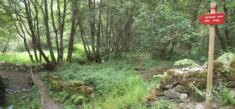
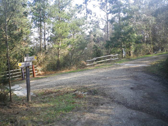
To start the route we will move to the village of Espasande and half a kilometer from here in the direction of Taramundi we will see an explanatory panel on the left hand side at the beginning of the route.
-
A Pena do Encanto Route
- San Tirso de Abres
- 4 km
- 1 hour and 20 minutes
- Download
From the municipal capital we go to the exit of the town towards Galicia, finding ourselves on the right hand side with the San Isidro square in whose center is the chapel with the same name, coinciding with the starting point of the route.
-
Ruta Os Cortíos
- Santa Eulalia de Oscos
- 8,47 km
- 4 horas
- Baja
Esta ruta comienza en Barcia (Asturias) donde disponemos de un aparcamiento público para dejar nuestro coche a escasos metros del inicio.
-
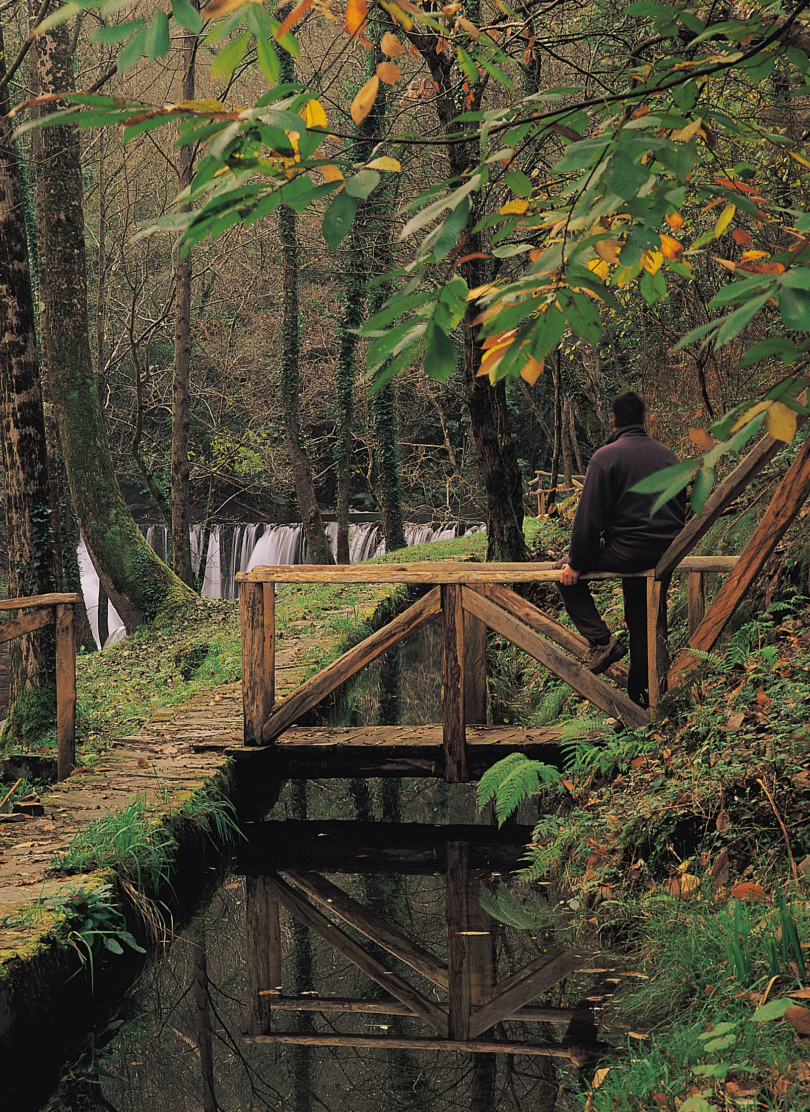
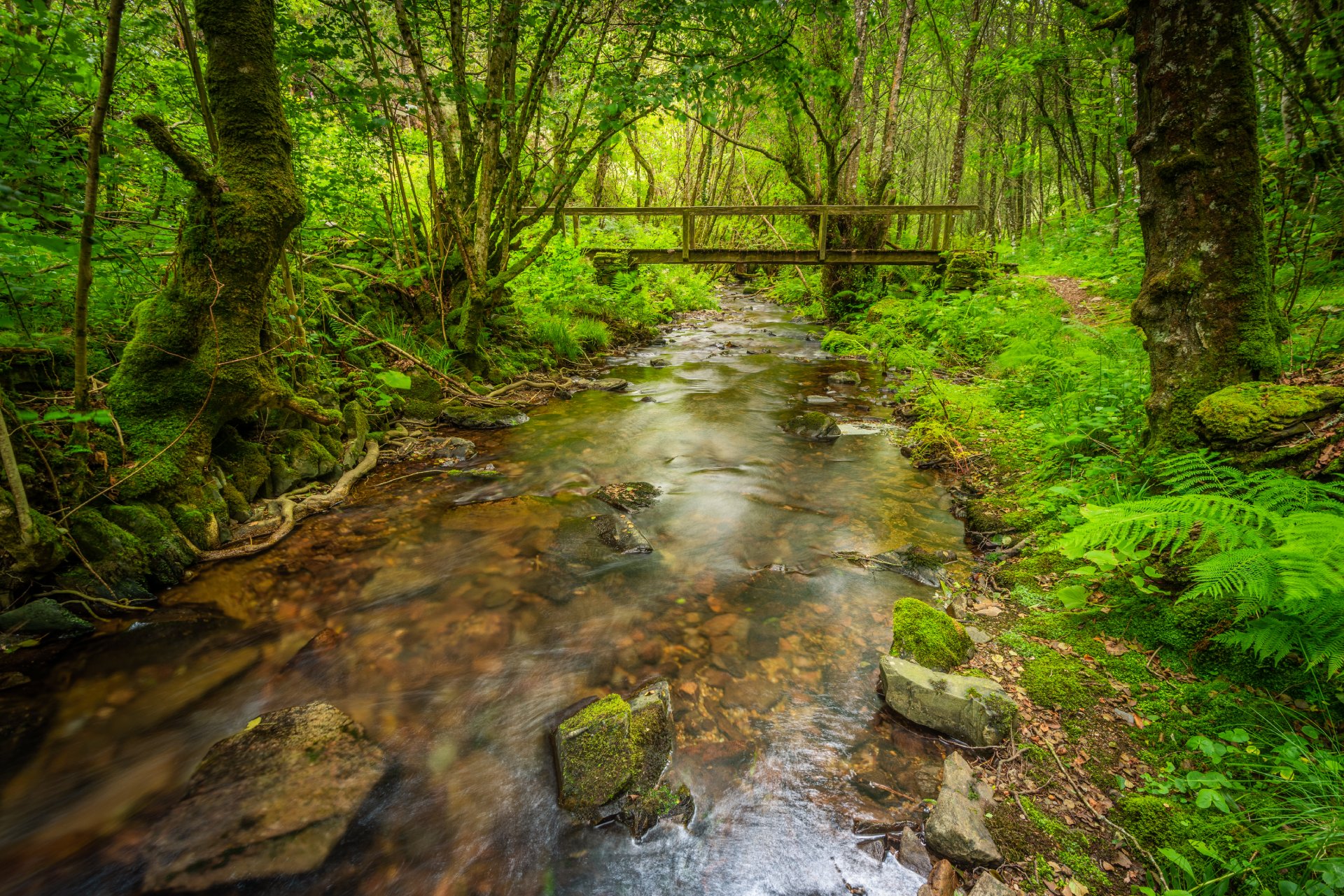
Forest Route
- Villanueva de Oscos
- 8 km
- 2 hours and 45 minutes
- Download
The route starts in Villanueva, capital of the council, from where we leave in the direction of Santa Eufemia where there is still a beautiful chapel of popular baroque style built between the seventeenth and eighteenth centuries that deserves to be visited. Continuing the itinerary along the road and after about three hundred meters of walking, we reach the Castañeira Bridge, and after crossing it we must take a path that goes off to the right, reaching a splendid birch forest next to the abandoned farmhouse of Abilleira.
-
As Minas Greenway
- Vegadeo
- 13 km
- 4 hours
- Media
The route starts in the town of A Espía (Vegadeo) and is accessed through the AS-11 road that connects Vegadeo with Los Oscos.
-
Agüeira Green Path
- Villanueva de Oscos
- 14 km
- 5 h
- Media
The route is made up of two circular sections starting and ending in the center of Villanueva. The longer one, about 12 km, coincides in part with the forest route.