
Route of the Mazo de Meredo
- Vegadeo
- Circular route
- 13 km
- 4 hours
- half
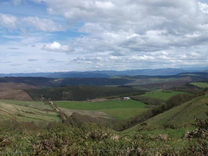
The route starts in Piantón, a charming village that was once the capital of the council, located about two kilometers from Vegadeo in which we recommend a walk around the square and a visit to the church. We cross the so-called Roman Bridge and take the path to the left towards Arcilo. The path begins with a slight ascent through a deep eucalyptus forest mixed with remnants of native vegetation: chestnut, holly, laurel, … fed by numerous streams.
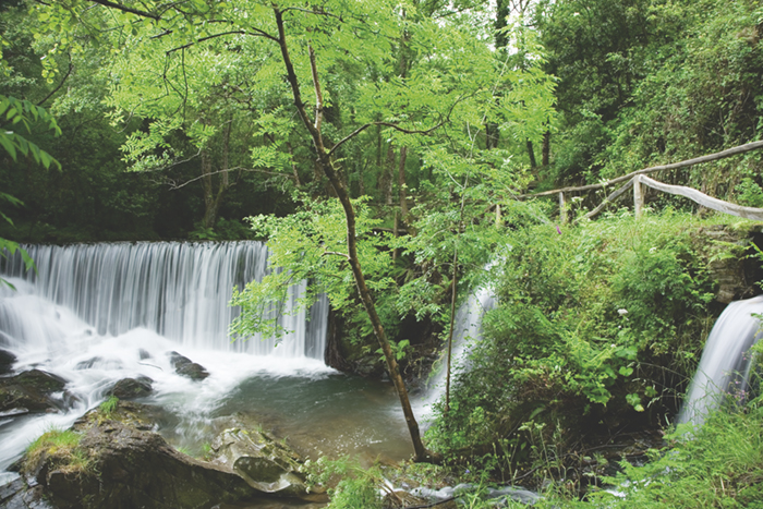
Arrived at Arcilo we turn off to the right continuing the road to Cobre, where we will find two possibilities to reach Meredo: a more direct way of 1.5 km and another of 3.5 km passing through El Foxo. Already in the area of Meredo we will descend until we reach the Mazo, where we can take the opportunity to regain strength in the recreational area that surrounds it and get closer to the tradition of iron and the use of water power by observing the mallet and the mill. Returning to the path again, we head for Arcilo, accompanied throughout the route by the Suarón River, which pours its waters tirelessly into the Eo estuary, noted for its important ecological and ornithological value. The route runs very close to the mansion of Sestelo, an emblematic building of the region. On the way back to Piantón we will have a good view of the valley, a very humanized landscape where we will be able to see meadows, farmland, reforestation, etc.
Hiking trails
-
Ruta Piorno a os Fornos
- San Martín de Oscos
 5,5 km
 2h 30m
 Baja
Baja
Iniciamos la ruta en el pueblo de Piorno, que se recomienda recorrer porque conserva excelentes muestras de arquitectura tradicional de los Oscos en piedra, pizarra y madera.
-
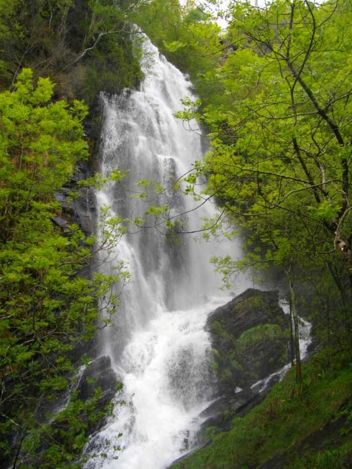
A Seimeira Route
- Santa Eulalia de Oscos
- 8 km round trip
- 3 hours
- Download
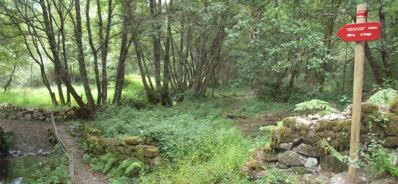
The route begins in the recreational area of Pumares; we cross the road and head parallel to the river to Pumares, a village of old ferreira activity, where we can still see the remains of an old mallet. From here, along a marked path, and leaving the river Agüeira to our left, we continue a slight ascent into a legendary forest characterized by riparian species (alders, ashes, willows, and hazelnut trees) and by oaks and chestnut trees that with their whimsical shapes are true monuments.
-
Forcón de los Ríos Route
- Santa Eulalia de Oscos
- 13.3 km
- 4 hours
- Media
Route of nature and ethnography that begins next to the house of culture in Santa Eulalia de Oscos.
-
Taramundi – Ouroso – Teixois – Veigas – Taramundi Route
- Taramundi
- 29,524 Km
Download the route in PDF and KML and follow the route with your mountain bike or MTB. With different levels of difficulty, duration, slope and length. If you don’t have a bike you can rent one.
-
Route of the Muleteers
- San Tirso de Abres
- 15 km round trip
- 5 hours
- Download
To start the route we will move to the village of Espasande and half a kilometer from here in the direction of Taramundi we will see an explanatory panel on the left hand side at the beginning of the route.
-
Mon Route
- San Martín de Oscos
- 12.6 km
- 4.5 hours
- Media
The itinerary begins in the village of A Revoqueira, three kilometers from San Martín.