
Railroad Route
- San Tirso de Abres
- Linear route
- 15 km
- 5 hours
- Download
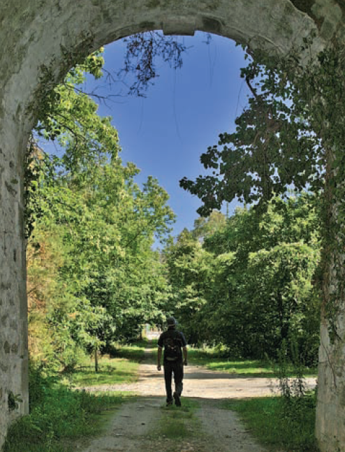
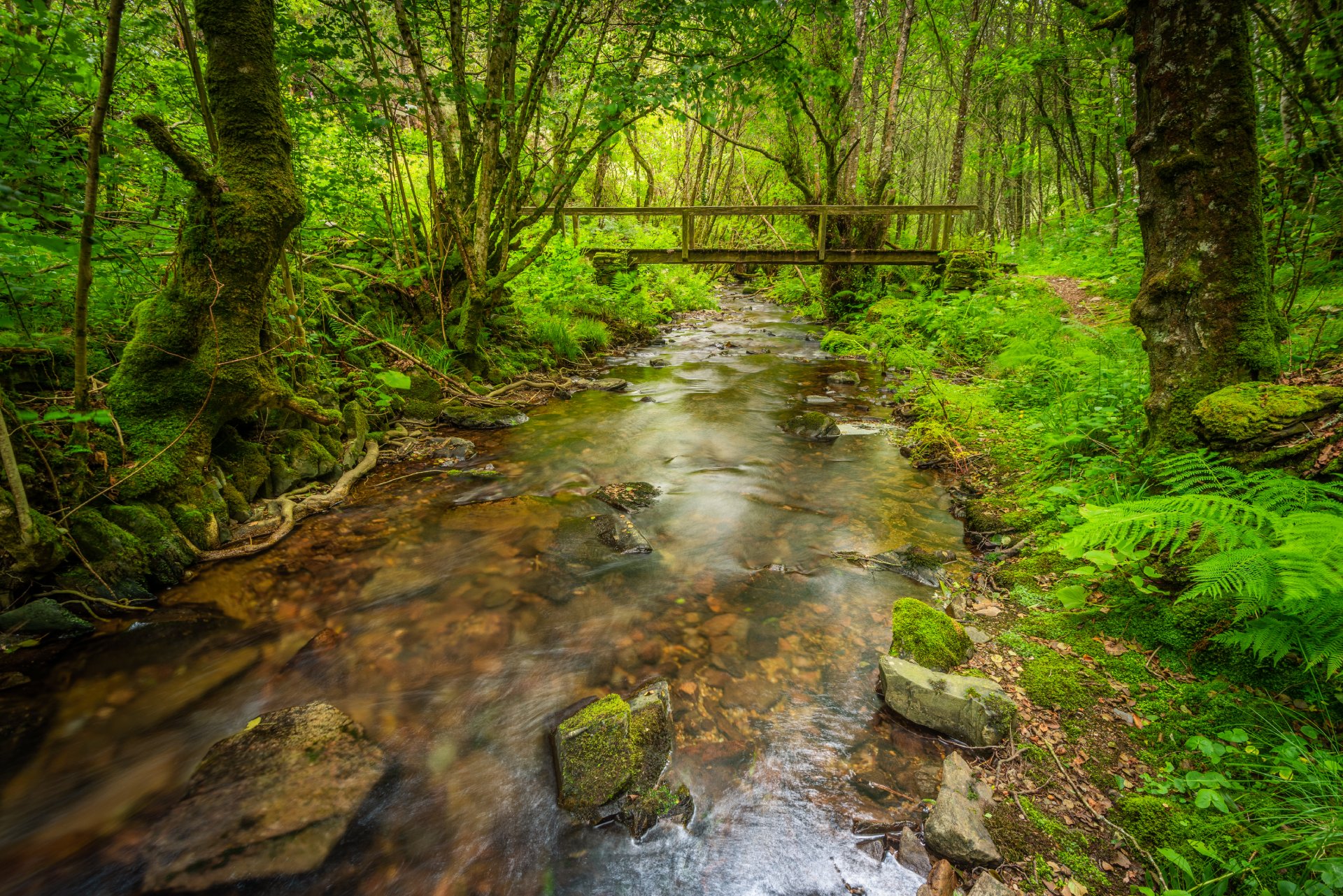
We start the walk in the old station of San Tirso de Abres, today restored for private housing, finding the first of the six tunnels just 300 m away, continuing next to the river Eo enjoying every moment of great panoramic views of the riverbed, of incalculable ecological and fish value, in which abound a large number of aquatic species, the most characteristic being trout, lamprey and salmon. Later the path crosses the N-640 road and leads us to an old power station built in 1932, located just before crossing another of the tunnels drilled in the rock, which leaves us close to the pedestrian walkway over the river Eo.
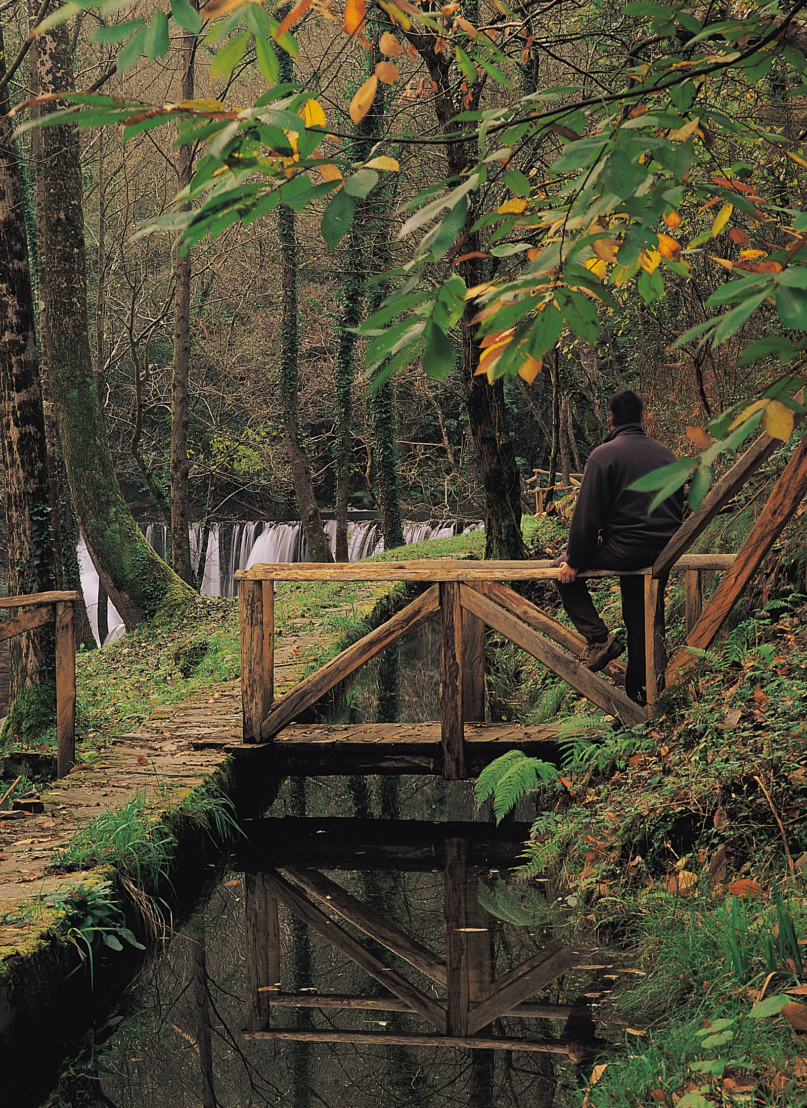
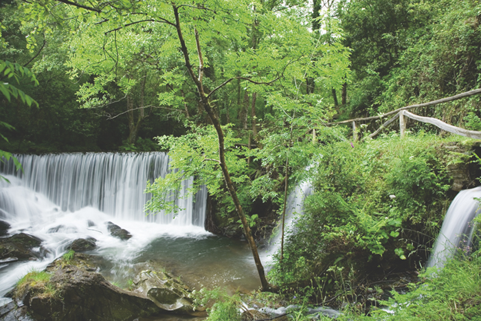
Shortly after the last tunnel we find some small masonry buildings “casetos”, with slate gable roof that served to house the coal used by the railroad. Following the route we reach the point where Galicia and Asturias come together, on the stream of O Cairo that acts as a natural divide. At this point the Asturian part of the route ends and we can choose to turn back or continue for 6 km. on asphalt until we reach the village of A Pontenova (Lugo), where four calcination furnaces that served to transform the ore transported by the railroad stand.
Hiking trails
-
Carbayal de Salgueiras Route
- Villanueva de Oscos
 7 km
7 km 2 hours
 Download
The itinerary begins next to the chapel of Salgueiras, located on the AS-27 road, 6 kilometers from Villanueva. Throughout the tour we must observe the environment around us: the houses, their attached buildings, orchards, meadows, farm implements, forests, to understand the way of life of the locals.
-
Vegadeo – Vegadeo Route
- Vegadeo
- 26,089 Km.
- Download
Download the route in PDF and KML and follow the route with your mountain bike or MTB. With different levels of difficulty, duration, slope and length. If you don’t have a bike you can rent one.
-
Route of the Mazo de Meredo
- Vegadeo
- 13 km
- 4 hours
- half
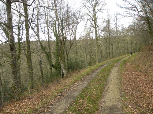
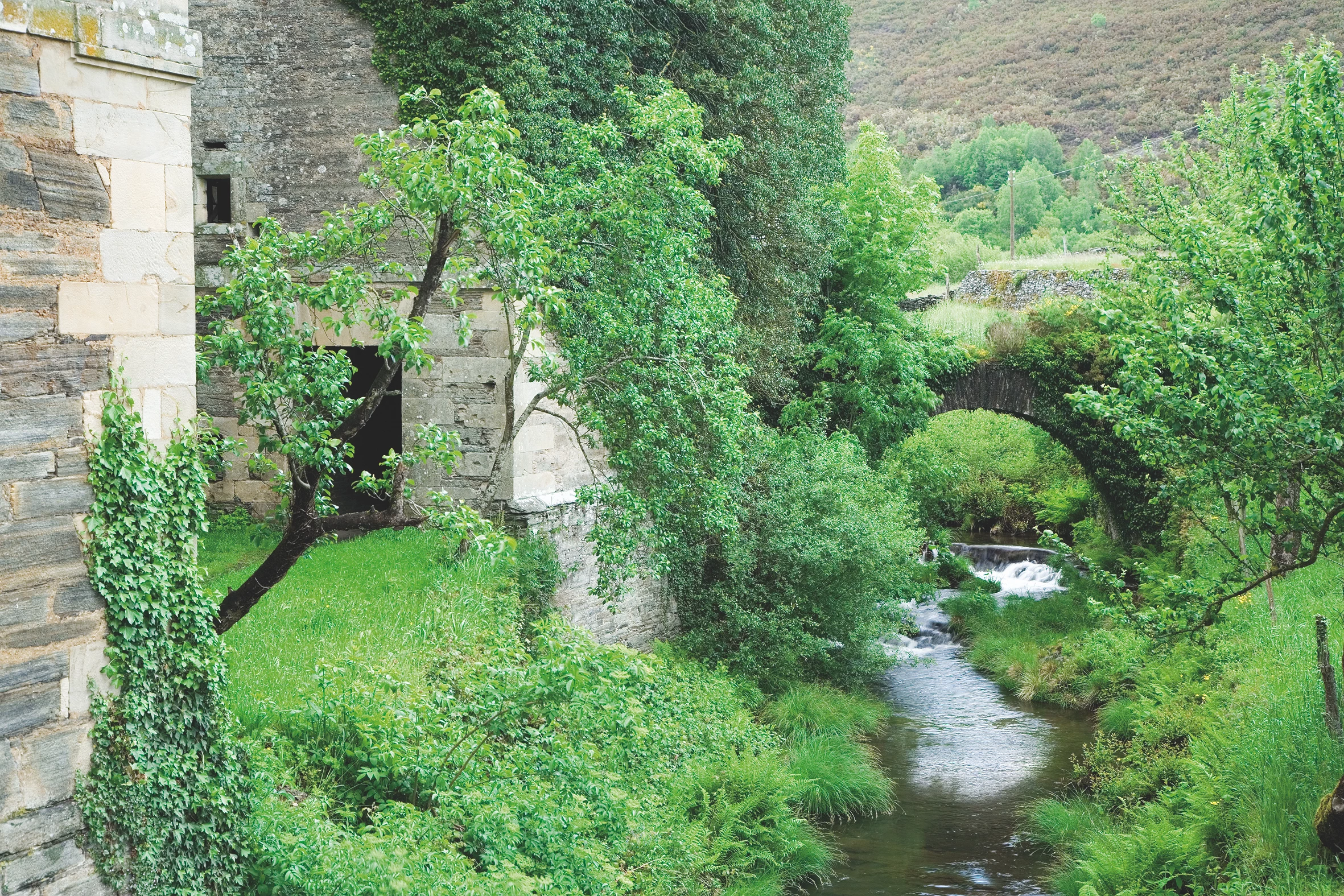
The route starts in Piantón, a charming village that was once the capital of the council, located about two kilometers from Vegadeo in which we recommend a walk around the square and a visit to the church. We cross the so-called Roman Bridge and take the path to the left towards Arcilo. The path begins with a slight ascent through a deep eucalyptus forest mixed with remnants of native vegetation: chestnut, holly, laurel, … fed by numerous streams.
-
Ruta Os Cortíos
- Santa Eulalia de Oscos
- 8,47 km
- 4 horas
- Baja
Esta ruta comienza en Barcia (Asturias) donde disponemos de un aparcamiento público para dejar nuestro coche a escasos metros del inicio.
-
Balcones de Villanueva de Oscos Route
- Villanueva de Oscos
- 25,272 Km
- 5 hours
- Download
Download the route in PDF and KML and follow the route with your mountain bike or MTB. With different levels of difficulty, duration, slope and length. If you don’t have a bike you can rent one.
-
Forest Route
- Villanueva de Oscos
- 8 km
- 2 hours and 45 minutes
- Download
The route starts in Villanueva, capital of the council, from where we leave in the direction of Santa Eufemia where there is still a beautiful chapel of popular baroque style built between the seventeenth and eighteenth centuries that deserves to be visited. Continuing the itinerary along the road and after about three hundred meters of walking, we reach the Castañeira Bridge, and after crossing it we must take a path that goes off to the right, reaching a splendid birch forest next to the abandoned farmhouse of Abilleira.