


Carbayal de Salgueiras Route
- Villanueva de Oscos
- Circular route
- 7 km
- 2 hours
- Download
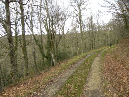
The itinerary begins next to the chapel of Salgueiras, located on the AS-27 road, 6 kilometers from Villanueva. Throughout the tour we must observe the environment around us: the houses, their attached buildings, orchards, meadows, farm implements, forests, to understand the way of life of the locals.
The route enters one of the best oak forests (Carbayo) in pure state of Asturias in which there are specimens of great size and shape. A few meters ahead we find an area of scrubland in which there are several types of heather characteristic of the region, as well as brooms and gorse with their typical colors that give good evidence of the time of year in which we are. Already in Xestoso and with similar characteristics to Salgueiras we begin a slight descent that takes us back into an impressive oak forest dotted with small groves of birch and chestnut trees, reaching the stream of Xestoso in which we can find a good example of riparian forest formed by alders, ashes and willows. With the help of a small wooden bridge we cross the stream and begin the ascent towards Salqueiras passing close to several farmhouses surrounded by their farms to finally reach the starting point.
Hiking trails
-
Water Route
- Taramundi
 14 km
14 km 4 hours and 30 minutes
 Download
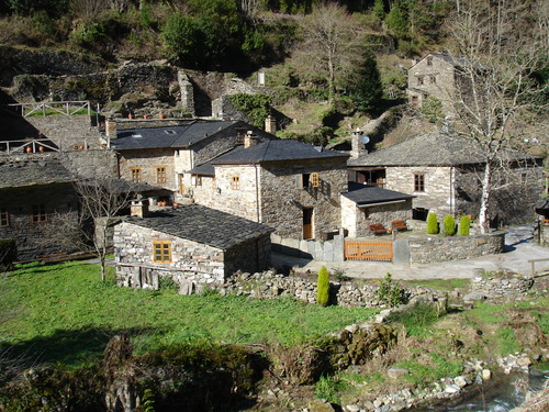
Its fourteen kilometers allow us to enjoy the water and its use for centuries in the rural environment. From the lower part of Taramundi we take a road that leads us to Mazonovo, where we can visit the Museum of Mills.
-
Railroad Route
- San Tirso de Abres
- 15 km
- 5 hours
- Download
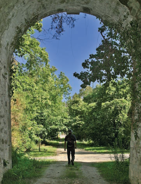
We start the walk in the old station of San Tirso de Abres, today restored for private housing, finding the first of the six tunnels just 300 m away, continuing next to the river Eo enjoying every moment of great panoramic views of the riverbed, of incalculable ecological and fish value, in which abound a large number of aquatic species, the most characteristic being trout, lamprey and salmon. Later the path crosses the N-640 road and leads us to an old power station built in 1932, located just before crossing another of the tunnels drilled in the rock, which leaves us close to the pedestrian walkway over the river Eo.
-
Green path of San Martín de Oscos
- San Martín de Oscos
- 7.5 km
- 3 hours
- Download
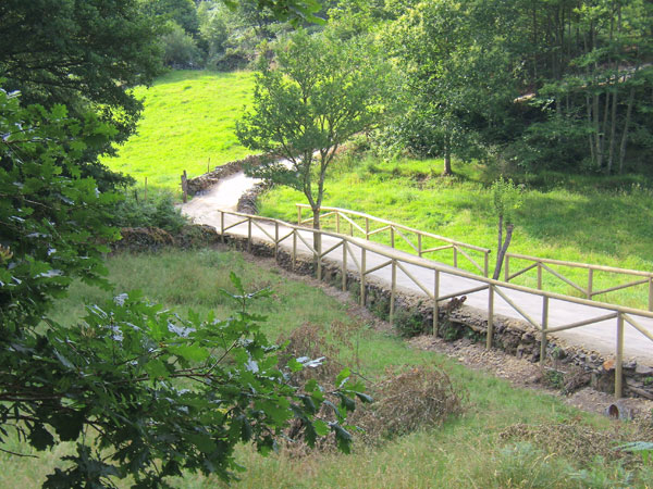
This is a circular route of about 7.5 km that starts and ends in the village of San Martín de Oscos. We start the route next to the tourist office going up to A Bouza, where we will contemplate an exceptional view of the village.
-
Mon Route
- San Martín de Oscos
- 12.6 km
- 4.5 hours
- Media
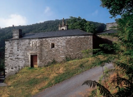
The itinerary begins in the village of A Revoqueira, three kilometers from San Martín.
-
Cascada del Cioyo
- Castropol
- 3 km
- 1 - 2 horas
- Media
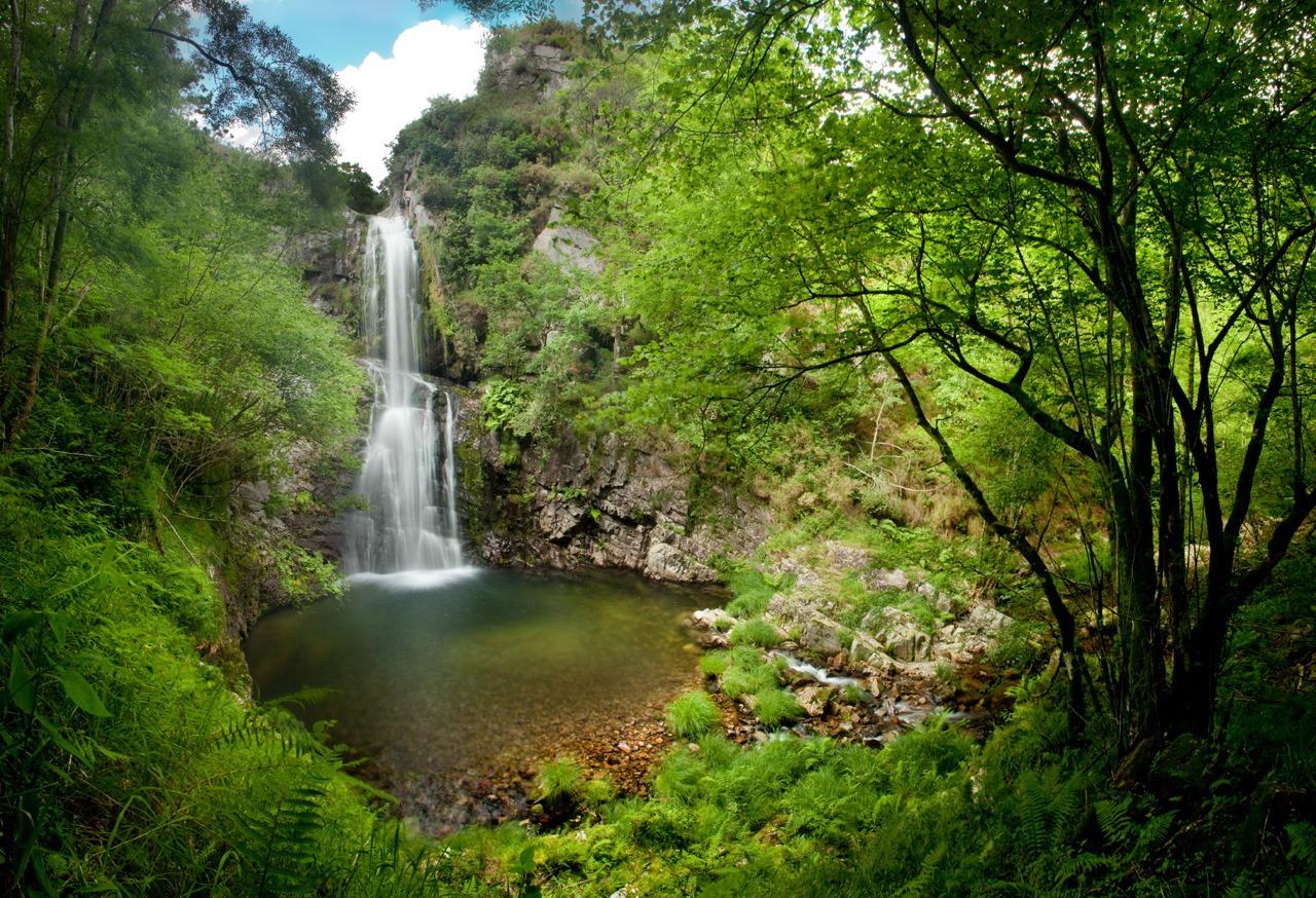
Escondida entre montañas y bosques del occidente asturiano, la Cascada del Cioyo es uno de esos lugares que parecen sacados de un cuento. El sonido del agua al caer, la vegetación exuberante que la rodea y la paz del entorno hacen de este rincón un destino ideal para quienes buscan conectar con la naturaleza. Una caminata entre árboles, pequeñas cascadas y paisajes que invitan a parar y respirar. Al final del recorrido, la gran cascada del Cioyo se abre paso con fuerza entre la roca, regalando una imagen de belleza salvaje difícil de olvidar.
-
Ruta Piorno a os Fornos
- San Martín de Oscos
- 5,5 km
- 2h 30m
- Baja
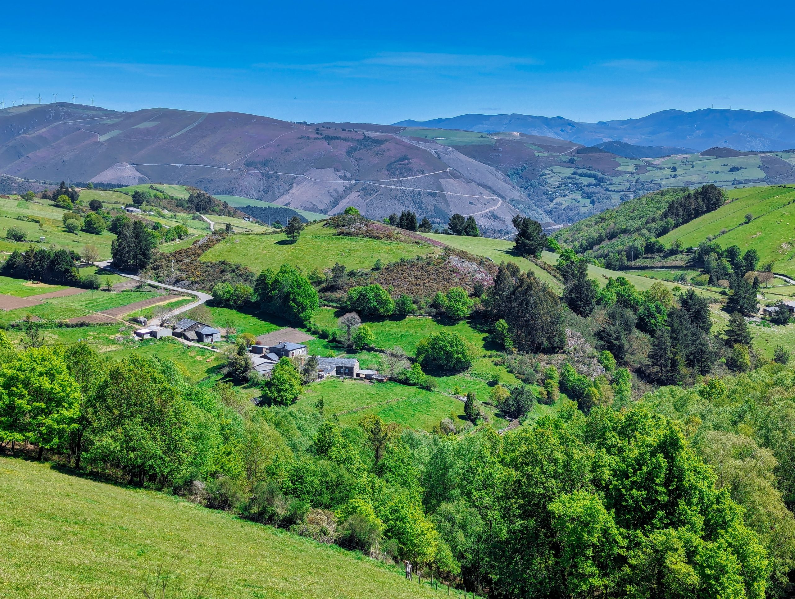
Iniciamos la ruta en el pueblo de Piorno, que se recomienda recorrer porque conserva excelentes muestras de arquitectura tradicional de los Oscos en piedra, pizarra y madera.


