


Mon Route
- San Martín de Oscos
- Circular route
- 12.6 km
- 4.5 hours
- Media
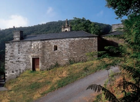
The itinerary begins in the village of A Revoqueira, three kilometers from San Martín.
This town is characterized by a well-preserved popular architecture and a gentle orography with green meadows, where numerous cows and their calves graze. Shortly after we will find the native forest (oak, chestnut and birch trees) that accompanies us until we reach Mon. Here the walker will be amazed by the majesty of the Palace of Mon, an example of baroque and stately architecture of the region. We continue the walk along a cart track bounded by stone walls and “chantos” (slate slabs driven) adorned with mosses and ferns to reach the chapel of Santa Marina, a place worth stopping and look out over the valley of the river Ahío in the background of which shines the Mazo de Mon. We continue the descent to the mallet through a lush and centenary chestnut grove dotted with “corripas” (circular stone constructions to store chestnuts), until we reach the hidden mallet of Mon. In this privileged natural space we find the remains of the Mazo, next to the old irrigation channel, still perfectly preserved today. At this point and before starting the way back, along the same path, we must stop to take a breath and enjoy the Ahío river and the ecosystem that surrounds it, characterized by riparian forest in which alders, ash and willows bathe their roots. Halfway up we turn left to Ventosa to return to Revoqueira.
Hiking trails
-
As Zarras Route
- Villanueva de Oscos
 3.5 km
 1 hour and 50 minutes
 Download
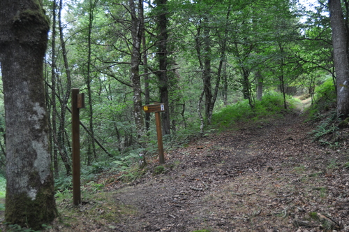
The route begins in Santa Eufemia, shortly after passing the Ecomuseo del Pan in the direction of Pacios. We enter a small path through a native forest populated by oak, birch, holly and chestnut trees.
-
Route of the Muleteers
- San Tirso de Abres
- 15 km round trip
- 5 hours
- Download
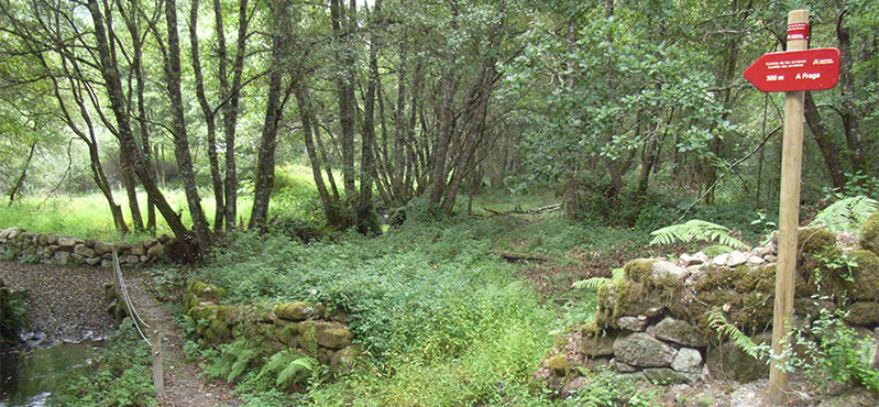
To start the route we will move to the village of Espasande and half a kilometer from here in the direction of Taramundi we will see an explanatory panel on the left hand side at the beginning of the route.
-
Ruta con Arte
- Santa Eulalia de Oscos
- 10,9 km
- 4 horas
- Baja
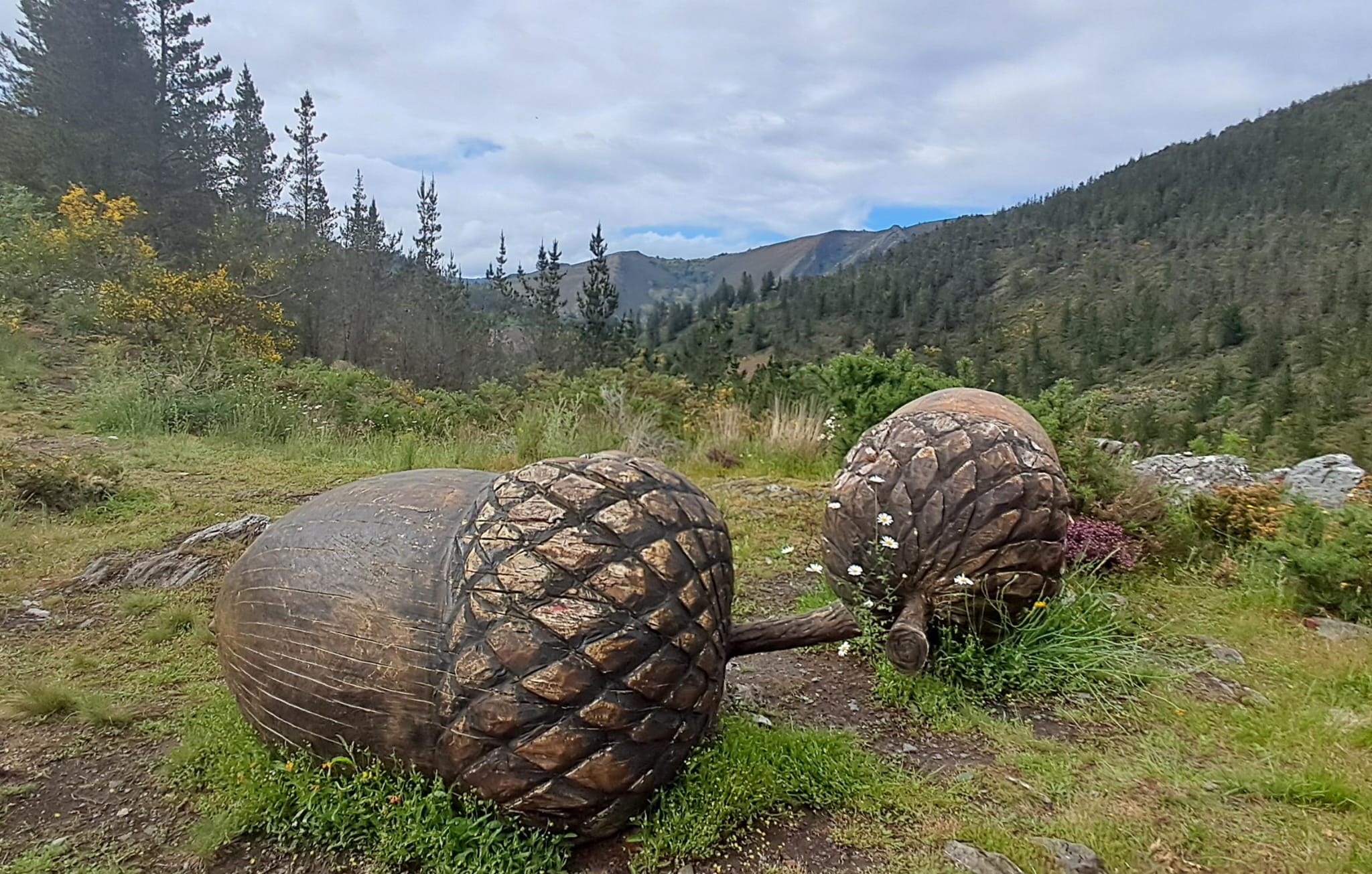
Este proyecto pionero e inédito, pretende impulsar y enriquecer Los Oscos a través de la vertebración artística, ofreciendo una conexión entre artistas, visitantes, naturaleza y tradición. Resaltando la belleza, cultura y tradición de los Oscos. Para ello se ha elegido una ruta circular de 10 Km. Dicha ruta comienza y termina en Santa Eulalia de Oscos.
-
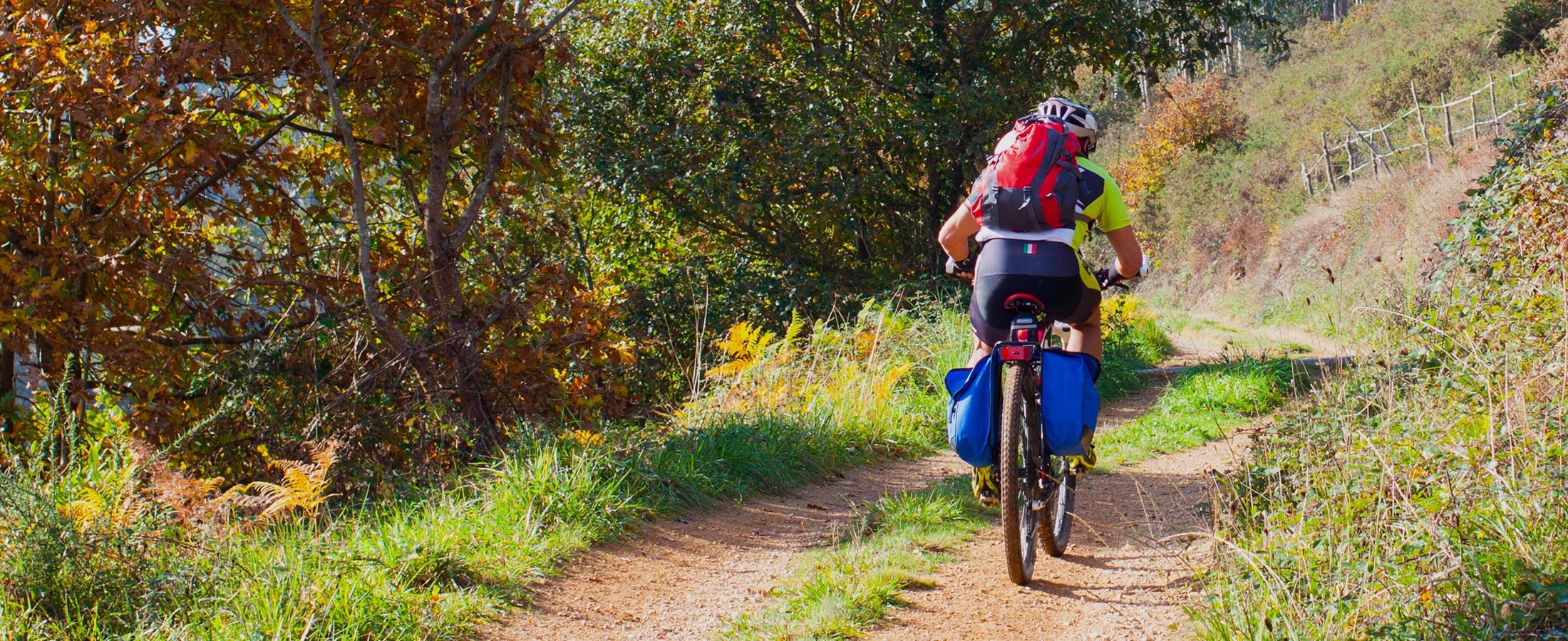
Vaguadas de Santa Eulalia de Oscos Route
- Santa Eulalia de Oscos
Download the route in PDF and KML and follow the route with your mountain bike or MTB.
-
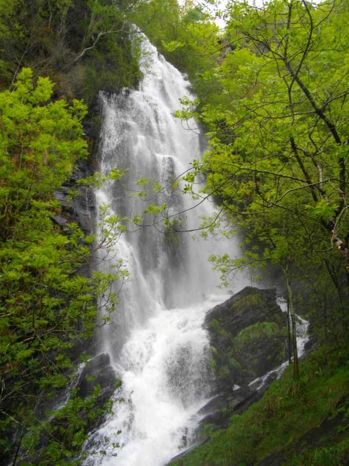
A Seimeira Route
- Santa Eulalia de Oscos
- 8 km round trip
- 3 hours
- Download
The route begins in the recreational area of Pumares; we cross the road and head parallel to the river to Pumares, a village of old ferreira activity, where we can still see the remains of an old mallet. From here, along a marked path, and leaving the river Agüeira to our left, we continue a slight ascent into a legendary forest characterized by riparian species (alders, ashes, willows, and hazelnut trees) and by oaks and chestnut trees that with their whimsical shapes are true monuments.
-
San Tirso de Abres – Vegadeo Route
- San Tirso de Abres
Download the route in PDF and KML and follow the route with your mountain bike or MTB.


