


Green path of San Martín de Oscos
- San Martín de Oscos
- Circular route
- 7.5 km
- 3 hours
- Download
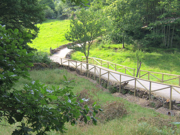
This is a circular route of about 7.5 km that starts and ends in the village of San Martín de Oscos. We start the route next to the tourist office going up to A Bouza, where we will contemplate an exceptional view of the village.
Crossing an oak forest we continue towards Labiarón, Loujedo and Villamañe, towns where we will find magnificent examples of traditional architecture. We go back into the native forest and reach a viewpoint where we can take a break to rest and observe the landscape. We continue towards San Martín crossing the village of Deilán and a dense forest of oak and birch trees. In A Trapela we recommend a detour a few meters to visit the mine of Pena Teixeira, typical example of mining model more abundant in the region, we can access a gallery and observe the trenches and the front of exploitation. On the way back to the village it is also advisable to stop to observe Cabeza Da Villa, an impressive 17th century mansion. At the Loujedo detour we can choose to follow an alternative section that takes us to the castro of Deilán and the chapel of Carmen, cross Deilán again and return along the main route to San Martín de Oscos.
Hiking trails
-
As Minas Route
- Castropol
 5 km
5 km 1 hour and a half
 low
low
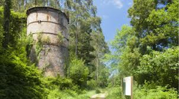
The route starts in the town of Tol. At the crossroads of the church of San Salvador, follow the signs to the parking area Fontequias, in the vicinity of the neighborhood of Cabaleiros.
-
As Carballeiras Green Trail
- Santa Eulalia de Oscos
- 4.5 km
- 1 hour 20 minutes
- Download
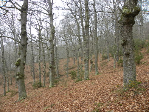
This route starts at the Nature Interpretation Center, in the center of Santa Eulalia de Oscos.
-

Ruta de los Ferreiros
- Taramundi
- 8 Km
- 2h 30m
- Baja
La Ruta de Os Ferreiros es un recorrido circular que invita a descubrir la esencia de Taramundi a través de su paisaje, su historia y sus oficios tradicionales. Un paseo accesible y lleno de encanto, perfecto para disfrutar de la naturaleza y el patrimonio cultural del concejo.
-
Teixo – Os Teixois Route
- Taramundi
- 10 km
- 3 hours and 45 minutes
- Media
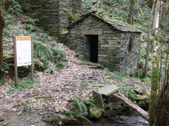
The itinerary begins in Teixo, where after leaving the vehicle and passing the last houses we start an easy walk along the road that connects this town with Santa Marina, leaving it to the right by a wide dirt track that leads us after a slight descent to the Arroyo das Mestas.
-
Route of Silence
- Villanueva de Oscos
- 12 km
- 5 hours
- High
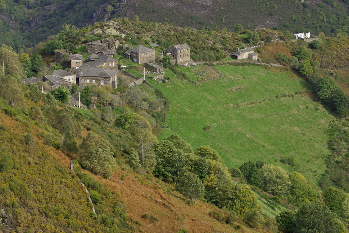
The route starts in San Cristobal, a place where we find numerous samples of popular architecture in its purest state, giving us the sensation of having gone back several centuries in time. From its chapel we see the valley of Rio Ahio covered with a beautiful blanket of native forest that dazzles us with its typical colors.
-
Forest Route
- Villanueva de Oscos
- 8 km
- 2 hours and 45 minutes
- Download
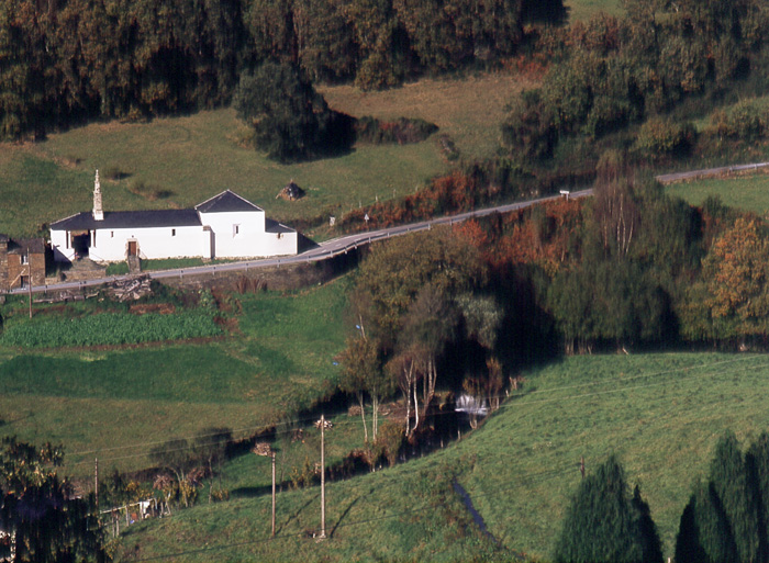
The route starts in Villanueva, capital of the council, from where we leave in the direction of Santa Eufemia where there is still a beautiful chapel of popular baroque style built between the seventeenth and eighteenth centuries that deserves to be visited. Continuing the itinerary along the road and after about three hundred meters of walking, we reach the Castañeira Bridge, and after crossing it we must take a path that goes off to the right, reaching a splendid birch forest next to the abandoned farmhouse of Abilleira.


