
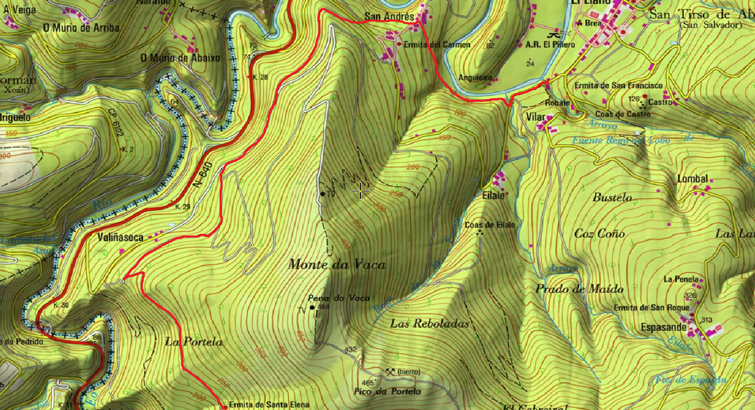
San Martín de Oscos Mining Route
- San Martín de Oscos
- MTB Route
- 30,618 Km
Download the route in PDF and KML and follow the route with your mountain bike or MTB.
With different levels of difficulty, duration, slope and length.
If you don’t have a bike you can rent one.
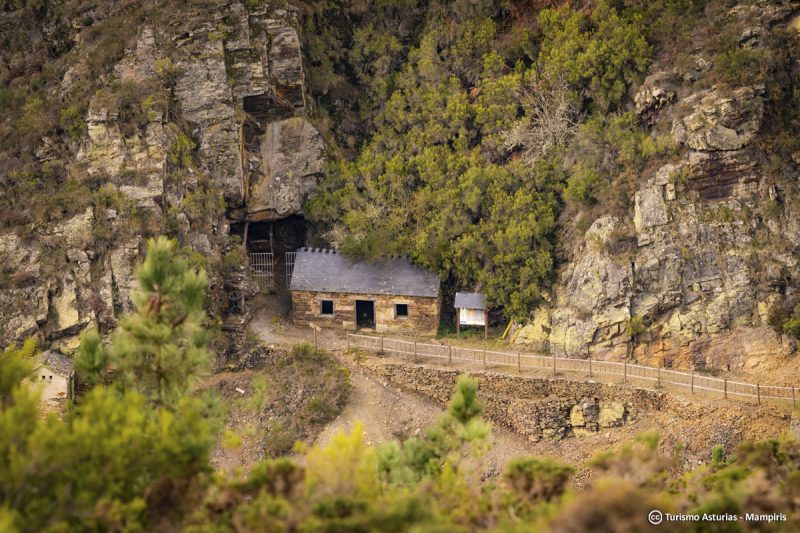
The route begins in the Recreational Area located at the very foot of the capital of the Council. As such, the route runs through a succession of tracks and local roads, which allows a mixed route that runs through the landscape of Huesca and various mining resources. At the same time, it presents a very accessible profile for many types of cyclists and mountaineers. It starts from the Recreational Area, crossing the AS-13 road, to take the concrete branch that goes up to the cemetery, where it joins the PR.AS 243, (there is also the option of going to the center of San Martín and there take the head of the PR.AS 243 to the Cemetery). This somewhat peri-urban section, is threading a route based on local roads that surround San Martin. From Wp 4 we get into a more rural route, with climbs and some steep slopes, with the occasional stretch of trail (beware of hikers) to conclude in Louxedo (wp 10) From this point the route continues along the PR.AS, staying almost always at the same elevation until reaching Deilán, where the route leaves the Pequeño Recorrido, to turn (wp 13) towards the top of the mountain towards the Mina de Teixeira. (Wp 15) Once we have seen this we return on our feet until (wp 14 bis) where we turn right to look for the AS-13 road, where we take the ascending branch to the marked hill that we see above. At the change of slope, we take the detour to the left towards the so-called Meseta de San Martín, always flat and with great views, then we descend steeply and even somewhat “technical” to the paved lane that connects Santalla with San Martín. At this point there is a possible option: go down to the right to Marful and see its centenary Yew, and then return to the point where we are, and follow the lane up without any detour to the gates of San Martin de Oscos. Before arriving at San Martín we turn off on the first concrete lane (wp19) that goes through the factories towards the nucleus of houses of Barrial de Arriba where again we join the marks of the PR.AS, of Marón and Ascuita, we continue until a “Cierre con perros de caza”; (wp 22) here the PR goes into the Monte Marón, but our route goes looking for flat and without any complication the crossing above the village of Teixeira (wp 23) what allows us to follow now other marks of PR, and the indications of Mina Carmina. A wide track will lead us to the east until it goes downhill very fast and with a significant deterioration of the road surface (if you do not want to make that descent and subsequent ascent, you can always turn around at some point between Villarín and Tresmonte, and avoid the loop of the Mina Carmina). The valley where the Carmina Mine is located (wp28) is impressive, with the villages of As Talladas and As Barreiras in the background… After the visit to the mine, we have to climb the path that goes steeply uphill to Villarín de Trasmonte, about 20 minutes with the bike in hand, then the tracks and local roads will allow us a tour of the land of Villarín, where again we leave the PR and so continue to Villarquille, In this village where the museum of the farmhouse is located, At the foot of the Ermita de los Remedios (Chapel of Los Remedios) there is a track of land consolidation that we take and that returns us a few meters ahead again to the hard asphalt, until we take a detour to Teixeira, (wp 39) whose settlement we leave behind to continue along a path that comfortably circumvents the stream of San Martín on the hillside while it offers beautiful views over Baldedo; After a short time we are in front of a new stretch of concrete that allows us to go down without any complications until we reach the recreational area of San Martín de Oscos, thus ending the route.
Hiking trails
-
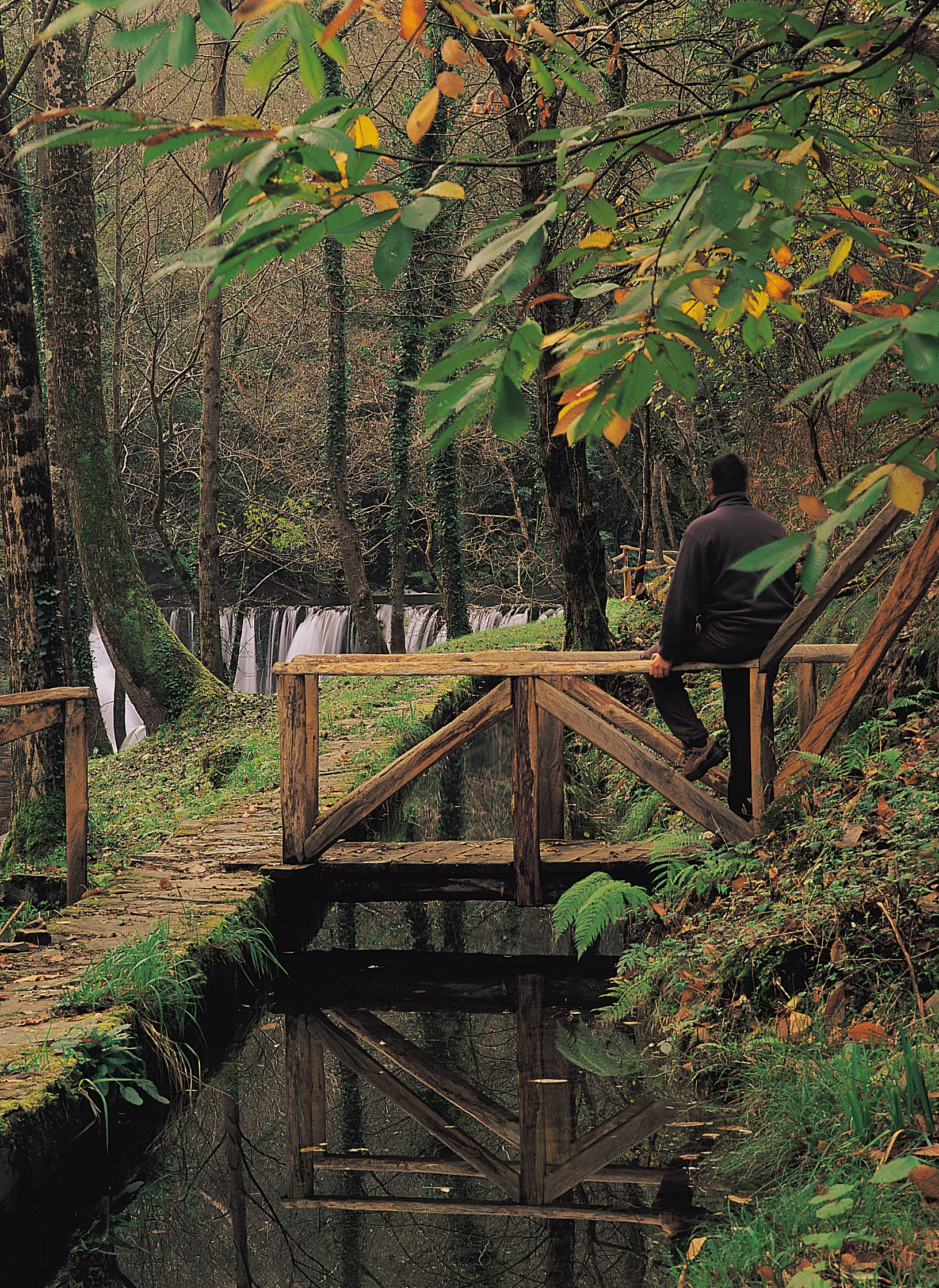
Route of the Mazo de Meredo
- Vegadeo
 13 km
13 km 4 hours
 half
half
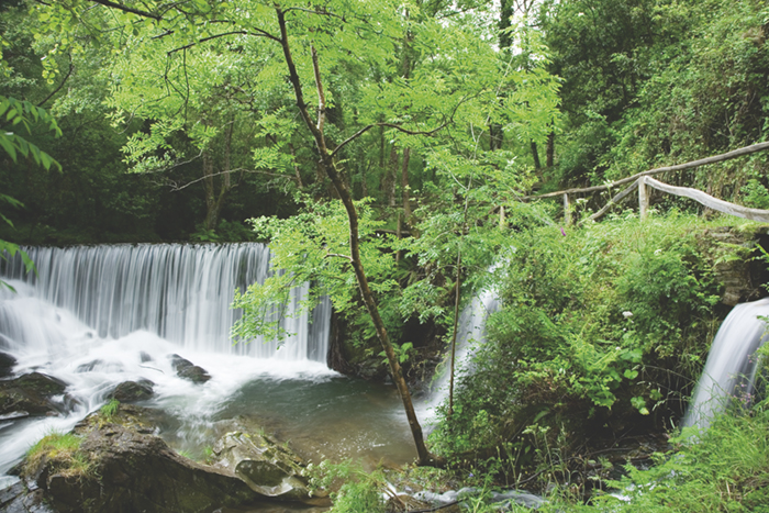
The route starts in Piantón, a charming village that was once the capital of the council, located about two kilometers from Vegadeo in which we recommend a walk around the square and a visit to the church. We cross the so-called Roman Bridge and take the path to the left towards Arcilo. The path begins with a slight ascent through a deep eucalyptus forest mixed with remnants of native vegetation: chestnut, holly, laurel, … fed by numerous streams.
-
Ruta con Arte
- Santa Eulalia de Oscos
- 10,9 km
- 4 horas
- Baja
Este proyecto pionero e inédito, pretende impulsar y enriquecer Los Oscos a través de la vertebración artística, ofreciendo una conexión entre artistas, visitantes, naturaleza y tradición. Resaltando la belleza, cultura y tradición de los Oscos. Para ello se ha elegido una ruta circular de 10 Km. Dicha ruta comienza y termina en Santa Eulalia de Oscos.
-
Route of Silence
- Villanueva de Oscos
- 12 km
- 5 hours
- High
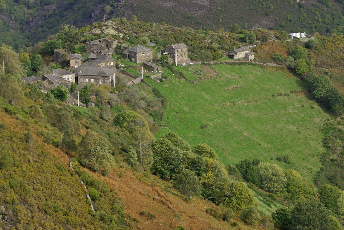
The route starts in San Cristobal, a place where we find numerous samples of popular architecture in its purest state, giving us the sensation of having gone back several centuries in time. From its chapel we see the valley of Rio Ahio covered with a beautiful blanket of native forest that dazzles us with its typical colors.
-
Ruta de los Pañeiros
- San Tirso de Abres
- 6 km (solo ida)
- 2 horas
- Baja
Antiguo Camino de Santiago que acogía a los romeros llegados por la Ría del Eo.
-
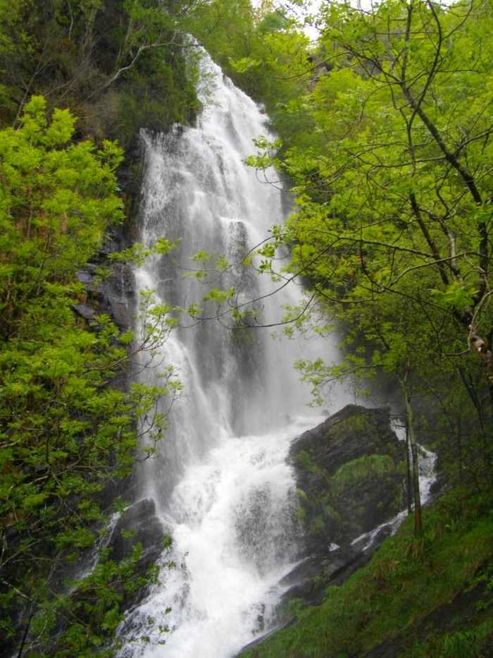
A Seimeira Route
- Santa Eulalia de Oscos
- 8 km round trip
- 3 hours
- Download
The route begins in the recreational area of Pumares; we cross the road and head parallel to the river to Pumares, a village of old ferreira activity, where we can still see the remains of an old mallet. From here, along a marked path, and leaving the river Agüeira to our left, we continue a slight ascent into a legendary forest characterized by riparian species (alders, ashes, willows, and hazelnut trees) and by oaks and chestnut trees that with their whimsical shapes are true monuments.
-
Vegadeo – Vegadeo Route
- Vegadeo
- 26,089 Km.
- Download
Download the route in PDF and KML and follow the route with your mountain bike or MTB. With different levels of difficulty, duration, slope and length. If you don’t have a bike you can rent one.