
Ruta Os Cortíos
- Santa Eulalia de Oscos
- Ruta circular
- 8,47 km
- 4 horas
- Baja
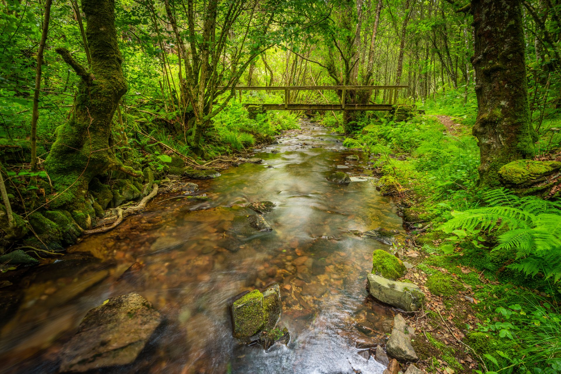
Esta ruta comienza en Barcia (Asturias) donde disponemos de un aparcamiento público para dejar nuestro coche a escasos metros del inicio.
Comenzamos por un sendero paralelo al río Barcia atravesando el pueblo hasta encontrarnos con un pequeño puente, donde justo se juntan los tramos de ida y vuelta.
Seguimos caminando por un frondoso bosque de castaños y carballos acompañados del sonido del río que pasa a nuestra izquierda.
La vegetación es abundante y muy atractiva, típica de ribera donde los suelos están cubiertos de musgo acompañándonos siempre la sombra que forman los abundantes árboles autóctonos.
Hiking trails
-
Vegadeo – Vegadeo Route
- Vegadeo
 26,089 Km.
 Download
Download the route in PDF and KML and follow the route with your mountain bike or MTB. With different levels of difficulty, duration, slope and length. If you don’t have a bike you can rent one.
-
A Mina de As Talladas Route
- Santa Eulalia de Oscos
- 12 km
 3 hours and 45 minutes
- High average
The route starts in the square of Sta. Eulalia de Oscos descending to the lower part of the village and continuing along a beautiful path surrounded by native forest that leads us to Ferreirela de Baxo, a place where it is worth stopping and visiting the Museo Casa Natal del Marqués de Sargadelos.
-
Teixo – Os Teixois Route
- Taramundi
- 10 km
- 3 hours and 45 minutes
- Media
The itinerary begins in Teixo, where after leaving the vehicle and passing the last houses we start an easy walk along the road that connects this town with Santa Marina, leaving it to the right by a wide dirt track that leads us after a slight descent to the Arroyo das Mestas.
-
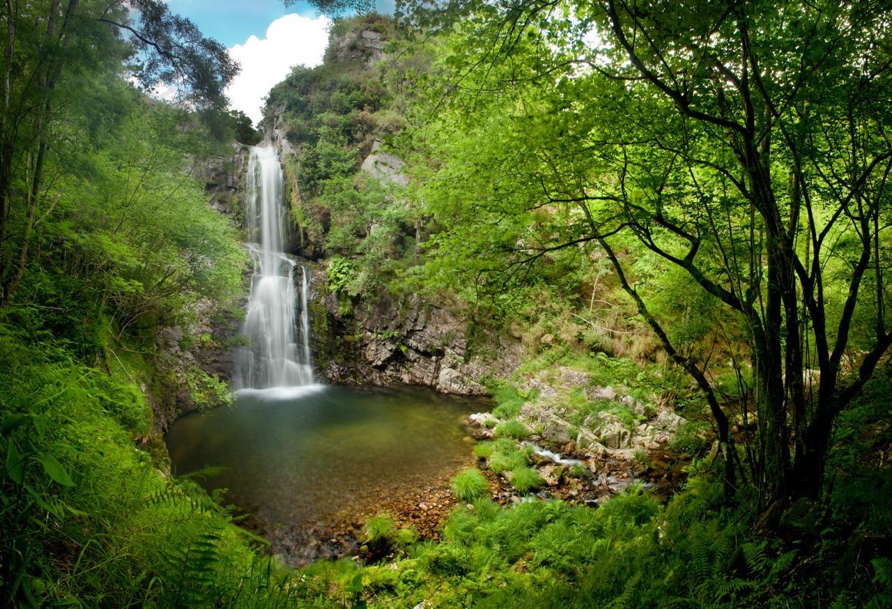
Cascada del Cioyo
- Castropol
- 3 km
- 1 - 2 horas
- Media
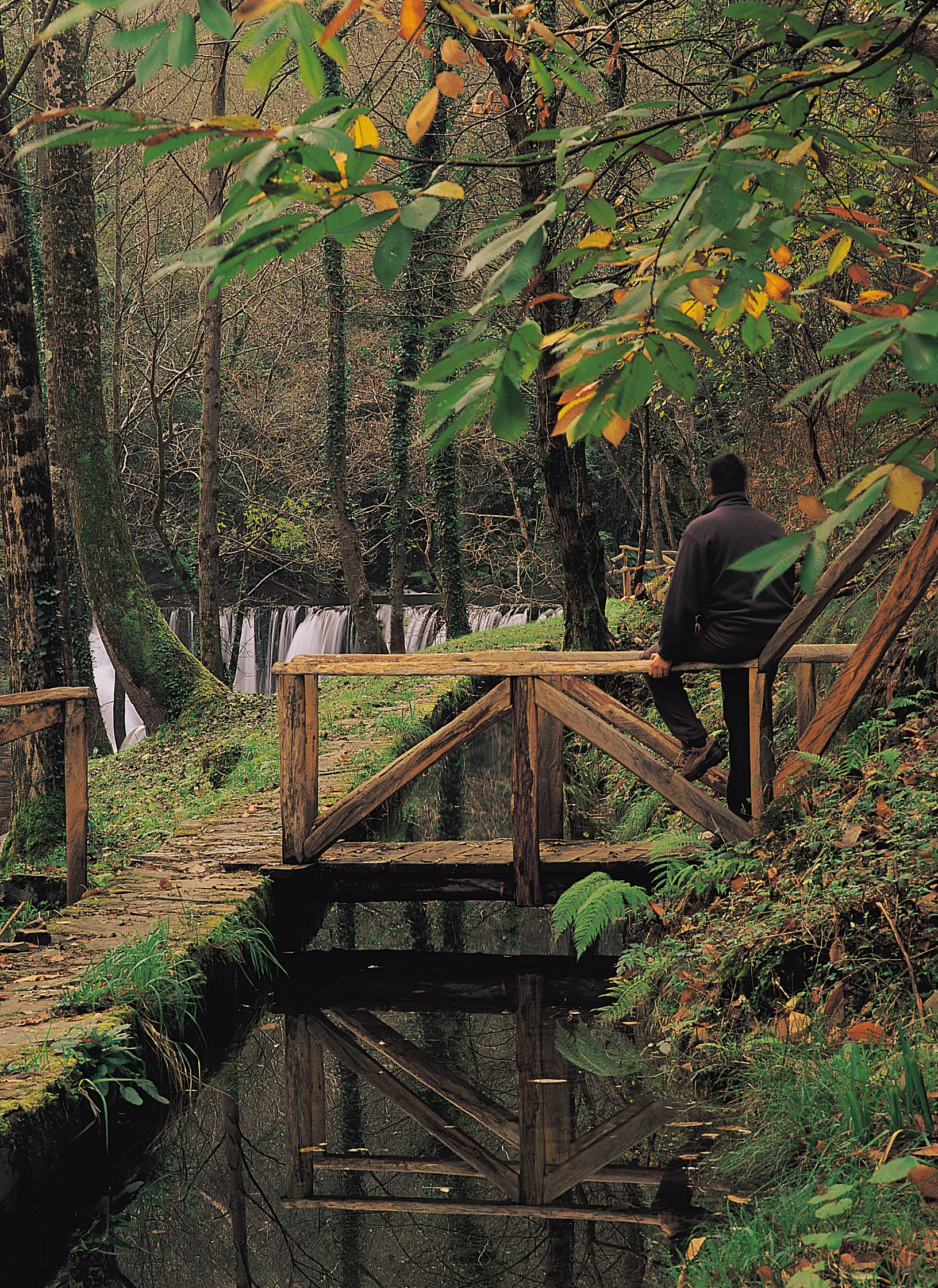
Escondida entre montañas y bosques del occidente asturiano, la Cascada del Cioyo es uno de esos lugares que parecen sacados de un cuento. El sonido del agua al caer, la vegetación exuberante que la rodea y la paz del entorno hacen de este rincón un destino ideal para quienes buscan conectar con la naturaleza. Una caminata entre árboles, pequeñas cascadas y paisajes que invitan a parar y respirar. Al final del recorrido, la gran cascada del Cioyo se abre paso con fuerza entre la roca, regalando una imagen de belleza salvaje difícil de olvidar.
-
Balcones de Villanueva de Oscos Route
- Villanueva de Oscos
- 25,272 Km
- 5 hours
- Download
Download the route in PDF and KML and follow the route with your mountain bike or MTB. With different levels of difficulty, duration, slope and length. If you don’t have a bike you can rent one.
-
Forest Route
- Villanueva de Oscos
- 8 km
- 2 hours and 45 minutes
- Download
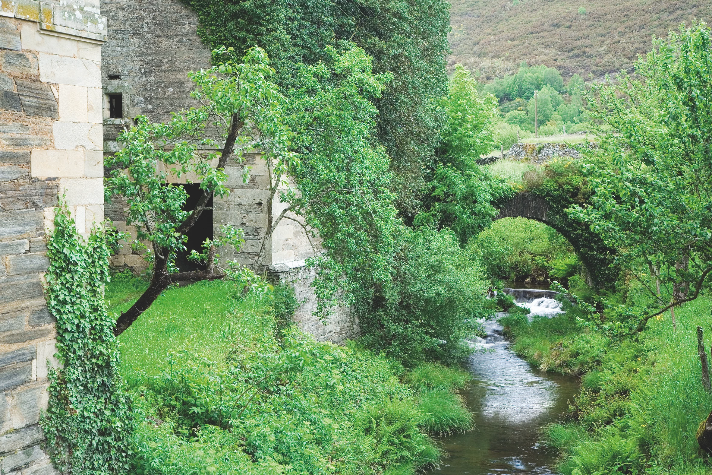
The route starts in Villanueva, capital of the council, from where we leave in the direction of Santa Eufemia where there is still a beautiful chapel of popular baroque style built between the seventeenth and eighteenth centuries that deserves to be visited. Continuing the itinerary along the road and after about three hundred meters of walking, we reach the Castañeira Bridge, and after crossing it we must take a path that goes off to the right, reaching a splendid birch forest next to the abandoned farmhouse of Abilleira.