
Taramundi – Ouroso – Teixois – Veigas – Taramundi Route
- Taramundi
- MTB Route
- 29,524 Km
Download the route in PDF and KML and follow the route with your mountain bike or MTB.
With different levels of difficulty, duration, slope and length.
If you don’t have a bike you can rent one.
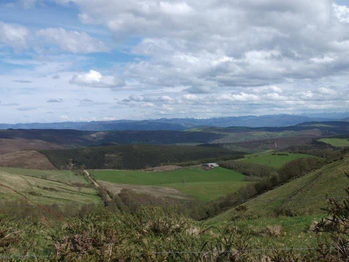
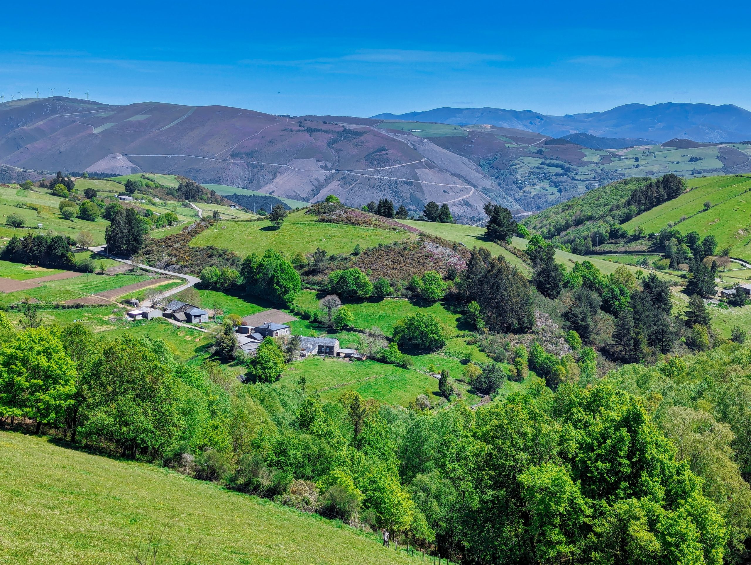
The route that has been proposed on this occasion intertwines a series of hiking trails as the PR.AS 17, 10, 22. or 102.1 and as not, is used in part of the route of the test that each year launches the City Council: the MTB Marathon Taramundi; which throws a set formed as two loops. The first of them is articulated on the basis of wide tracks and local roads that starts in Taramundi and ends in the Metas, and the second loop is articulated by means of a long and beautiful trail that takes us from Teixois into the valley of Veigas. The whole circuit presents a somewhat hard route profile, which is undoubtedly so when facing the ascent of Ouroso, a long climb but with a high cyclability. The route starts from the center of the village of Taramundi, taking down the street that goes to the core of Teixois, just start we turn off at the fork to the right to go towards the archaeological resource of Os Castros, once visited with great care, we drop down the track down to the bottom of the valley that waters the river Cabreira. Once crossed a branch road leads us to the village of Llan (Wp 5), where it joins the road coming from Mazonovo, we continue along the left branch towards the Recreational Area of Aguillón, Once in the village, in front of the old school, take the branch that goes flat towards the Rural Center of Aguillón, at whose gates we leave the asphalt (Wp 8) to take an old road that goes towards Bres, following the Cabreira irrigation, and after a few hundred meters we come out onto the AS-21 road. We continue along the shoulder until we reach Bres (Wp 9), entering the village and passing in front of the parish church to take the old road to Silvallana, a wide track that first goes flat to the Guxo mill, and then turns into a long and steady climb until we reach the road that comes from Cotarelo to Freije. We continue up the road leaving Silvallana, and when we see the village of Ambrós, we turn to the right at the first branch (wp 18), starting again an ascent through the valley that marks the Ouroso peak. Another round of meters to gain, discarding branches to one side and the other makes us gain the Ouroso range, which we recognize by the wire fence that marks the boundary of councils, we open and close the gate again to continue towards the Ouroso Peak ( Wp 22) Junction with the road that goes to Couso, (Wp 23) we continue ascending leaving a branch to the left and another one a little further that goes up to the antennas of the Ouroso, we continue straight ahead until the mouth of a wide track that opens to the right and that we will recognize by some metallic grids for the conduction of waters (Wp 25). We continue along the wide track until a new turning point (Wp 27), very important this detour, which gives us a beautiful perspective of the village of Brataramundi; we turn left to continue with a rapid descent to the Teixo crossroads (Wp28). At the Teixo, there is the possibility of extending the route up to the Busnovo field and going around almost the entire mountain to go to Mestas.
Hiking trails
-
Agüeira Green Path
- Villanueva de Oscos
 14 km
14 km 5 h
5 h Media
Media
The route is made up of two circular sections starting and ending in the center of Villanueva. The longer one, about 12 km, coincides in part with the forest route.
-
Ouroso Route
- Taramundi
- 7.8 km
- 3 hours
- Download
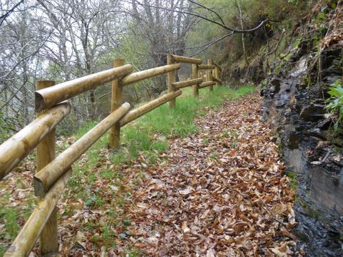
In the Teixo and just behind the hostel starts the forest track along which begins the walk to the Alto de Ouroso. The path is wide and passable by all-terrain vehicles, so there is hardly any possibility of getting lost. The route runs comfortably between wide pastures, heaths and pine forests of repopulation to reach a landing on which there is a small lagoon where at mid-morning many horses come to this point to water and refresh themselves in the shade of the pines. The animals graze in a semi-wild state and require little attention from their owners, which is why the number of horses has increased considerably in recent years.
-
Balcones de Villanueva de Oscos Route
- Villanueva de Oscos
- 25,272 Km
- 5 hours
- Download
Download the route in PDF and KML and follow the route with your mountain bike or MTB. With different levels of difficulty, duration, slope and length. If you don’t have a bike you can rent one.
-
A Mina de As Talladas Route
- Santa Eulalia de Oscos
- 12 km
- 3 hours and 45 minutes
- High average
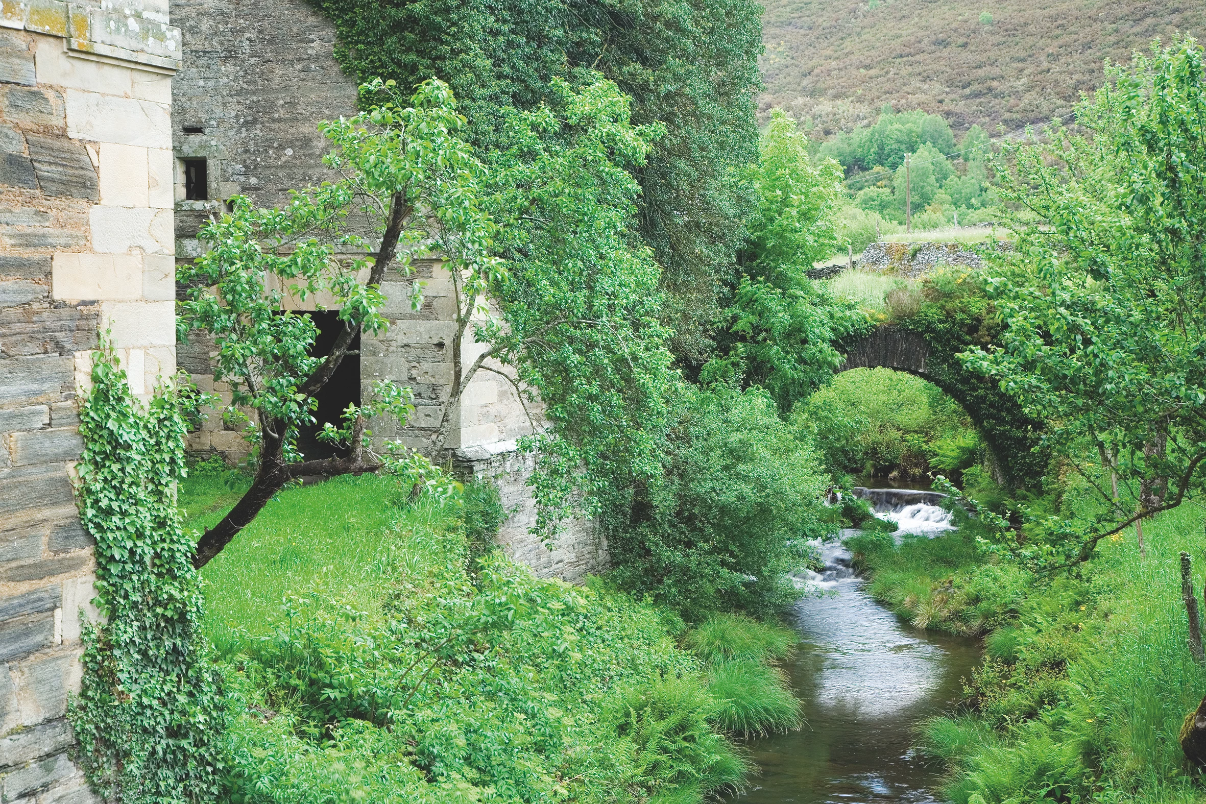
The route starts in the square of Sta. Eulalia de Oscos descending to the lower part of the village and continuing along a beautiful path surrounded by native forest that leads us to Ferreirela de Baxo, a place where it is worth stopping and visiting the Museo Casa Natal del Marqués de Sargadelos.
-
Ruta de los Ferreiros
- Taramundi
- 8 Km
- 2h 30m
- Baja
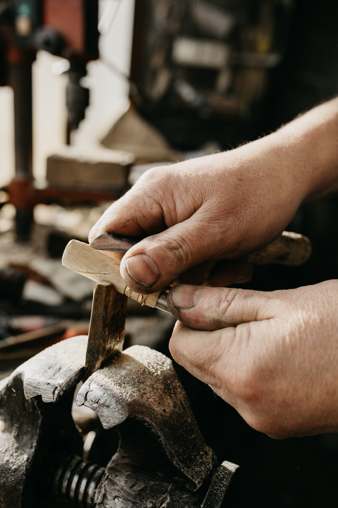
La Ruta de Os Ferreiros es un recorrido circular que invita a descubrir la esencia de Taramundi a través de su paisaje, su historia y sus oficios tradicionales. Un paseo accesible y lleno de encanto, perfecto para disfrutar de la naturaleza y el patrimonio cultural del concejo.
-
Ruta Piorno a os Fornos
- San Martín de Oscos
- 5,5 km
- 2h 30m
- Baja
Iniciamos la ruta en el pueblo de Piorno, que se recomienda recorrer porque conserva excelentes muestras de arquitectura tradicional de los Oscos en piedra, pizarra y madera.