
Route of the Muleteers
- San Tirso de Abres
- Linear route
- 15 km round trip
- 5 hours
- Download
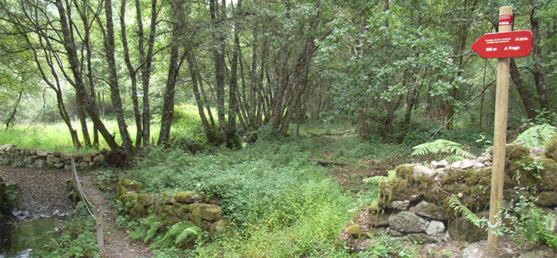
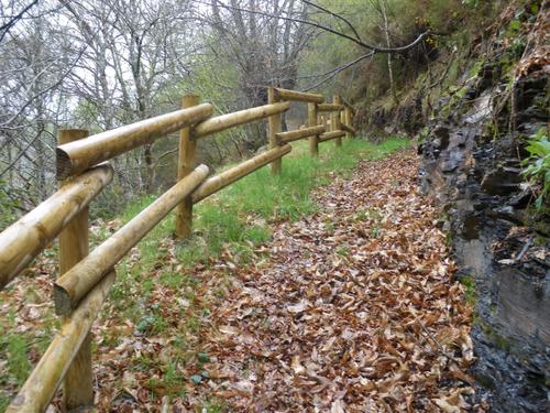
To start the route we will move to the village of Espasande and half a kilometer from here in the direction of Taramundi we will see an explanatory panel on the left hand side at the beginning of the route.
This is an old road used by traders who came from Castile to Asturias and Galicia to sell their products, so that if we close our eyes at any of the places along the route we hear again the creaking of the old carts and carts pulled by their oxen. Shortly after the beginning of the route we find the remains of what was an old inn, where pedestrians and their animals stopped to regain strength. The route runs mostly immersed in a large forest patch of eucalyptus and pine trees, through oak and chestnut groves dotted with abundant shrub and herbaceous vegetation that change color indicating what time of year we are. We will follow the signs until we reach Lourido, where we can find several samples of popular architecture, as well as some artisans who still practice the art of basket weaving. From Lourido we start a small descent that takes us to the end of the route in A Ferrería located next to the Eo River, which forms the border between Asturias and Galicia. To return to the starting point we must retrace our steps to Espasande.
Hiking trails
-
Ruta de Eiroá
- Taramundi
 13 km
13 km 3h 50m
 Baja
Baja
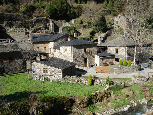
Esta ruta circular recorre buena parte del valle del río Cabreira, combinando caminos de montaña en la ida y de fondo de valle en la vuelta. Se inicia junto al hotel La Rectoral, tomando el camino que asciende entre el arbolado hacia la Sierra de Eiroá. Sin llegar a alcanzar su cumbre nos desviamos hacia el pueblo de Piñeiro, para llegar a él en suave descenso y disfrutar de su arquitectura tradicional y cabazos alzados al cielo.
-
Water Route
- Taramundi
- 14 km
- 4 hours and 30 minutes
- Download
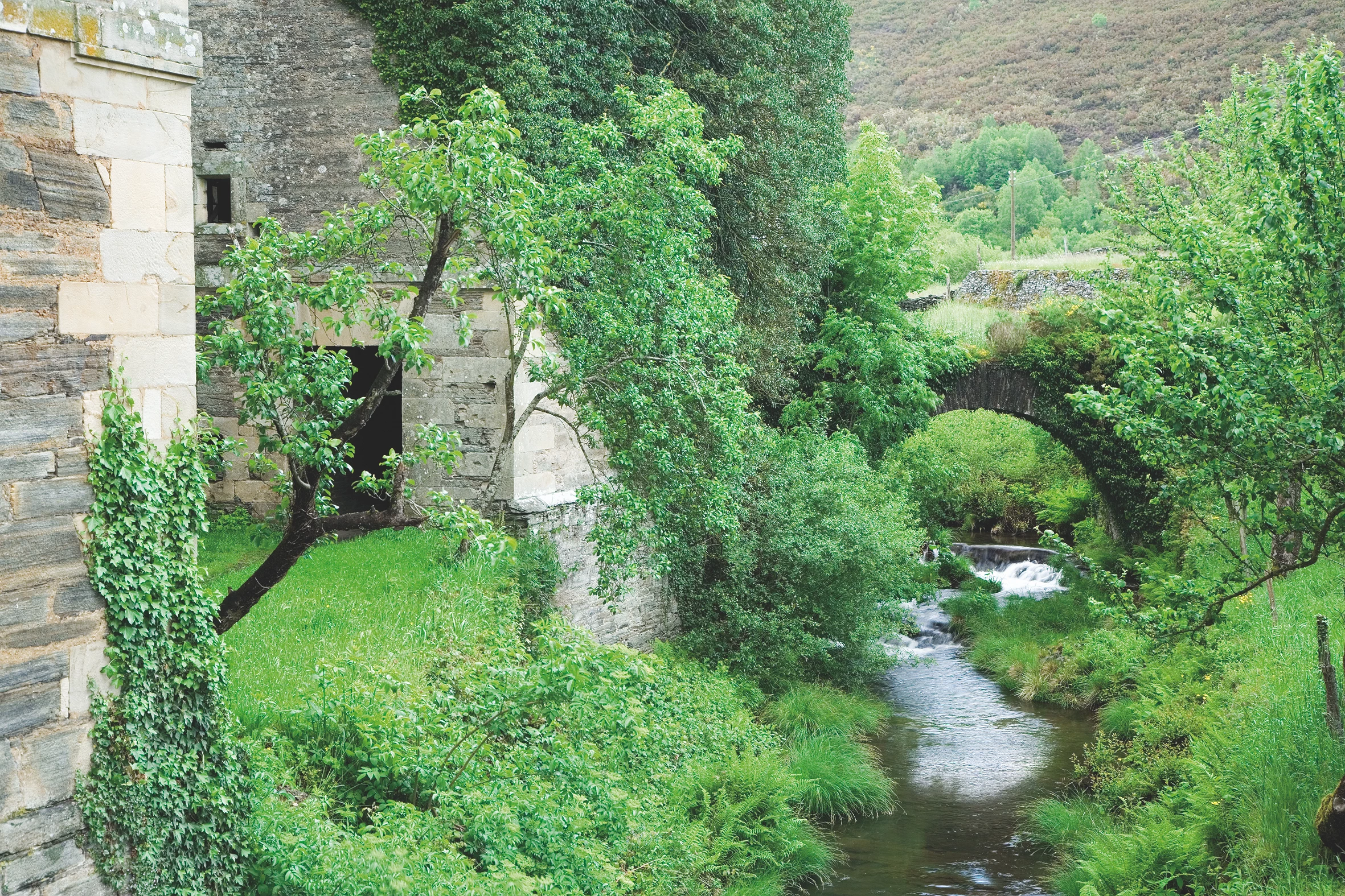
Its fourteen kilometers allow us to enjoy the water and its use for centuries in the rural environment. From the lower part of Taramundi we take a road that leads us to Mazonovo, where we can visit the Museum of Mills.
-
Balcones de Villanueva de Oscos Route
- Villanueva de Oscos
- 25,272 Km
- 5 hours
- Download
Download the route in PDF and KML and follow the route with your mountain bike or MTB. With different levels of difficulty, duration, slope and length. If you don’t have a bike you can rent one.
-
Agüeira Green Path
- Villanueva de Oscos
- 14 km
- 5 h
- Media
The route is made up of two circular sections starting and ending in the center of Villanueva. The longer one, about 12 km, coincides in part with the forest route.
-
Forest Route
- Villanueva de Oscos
- 8 km
- 2 hours and 45 minutes
- Download
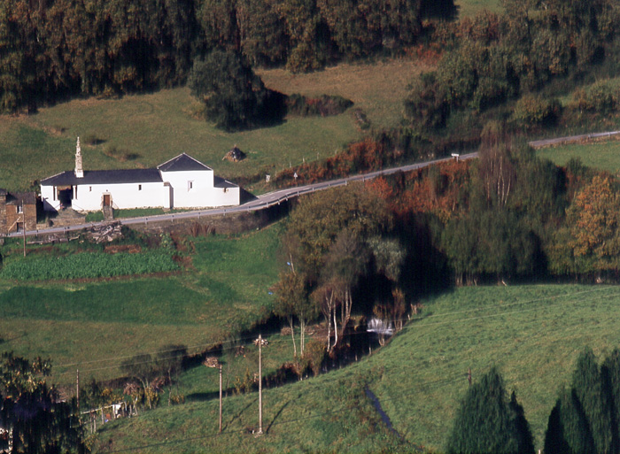
The route starts in Villanueva, capital of the council, from where we leave in the direction of Santa Eufemia where there is still a beautiful chapel of popular baroque style built between the seventeenth and eighteenth centuries that deserves to be visited. Continuing the itinerary along the road and after about three hundred meters of walking, we reach the Castañeira Bridge, and after crossing it we must take a path that goes off to the right, reaching a splendid birch forest next to the abandoned farmhouse of Abilleira.
-
Ruta de los Ferreiros
- Taramundi
- 8 Km
- 2h 30m
- Baja
La Ruta de Os Ferreiros es un recorrido circular que invita a descubrir la esencia de Taramundi a través de su paisaje, su historia y sus oficios tradicionales. Un paseo accesible y lleno de encanto, perfecto para disfrutar de la naturaleza y el patrimonio cultural del concejo.